Sage Hill
Open year-round. Reservations available via Recreation.gov. During heavy spring rains, the river crossing may become temporarily impassable. Live Oak group site currently has porta potties instead of standard restrooms.
National Forest System Roads
Follow California Vehicle Code on National Forest System Roads
Fireworks and Explosives are always Prohibited
Fireworks and explosives (including explosive targets) are always prohibited on national forest lands. The prohibition of fireworks and exploding targets on national forest system lands is part of a set of permanent fire safety regulations in the Code of Federal Regulations (CFR), listed below.…
About
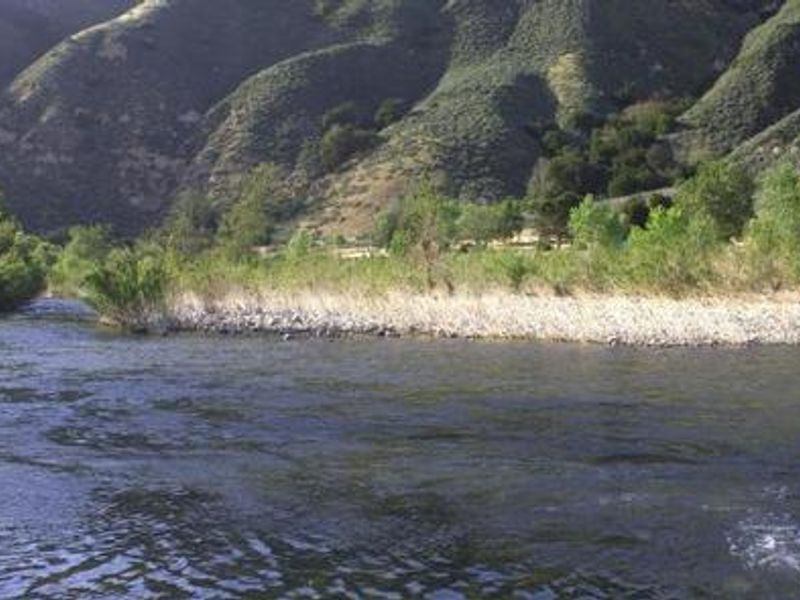
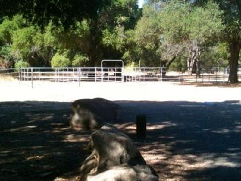
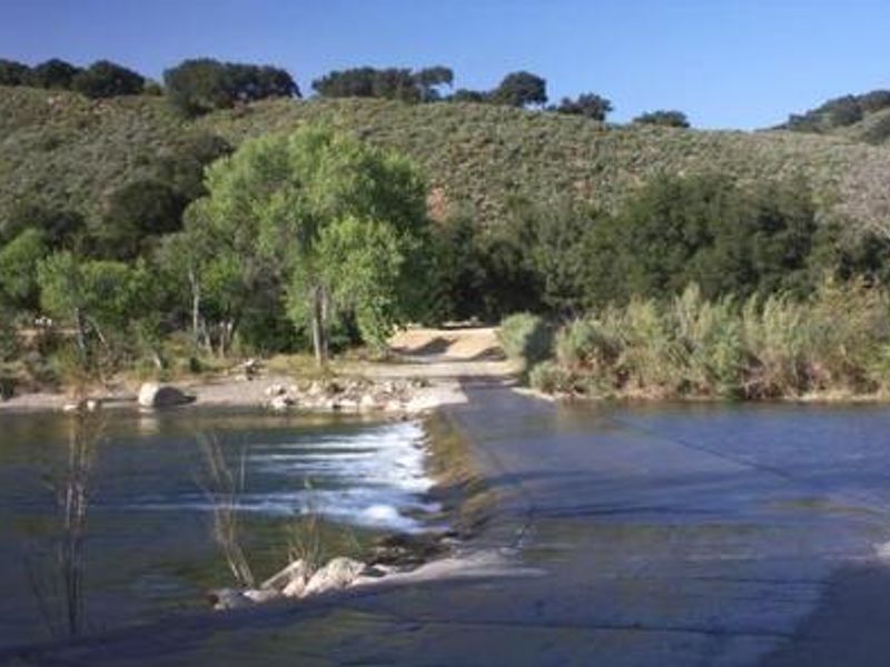
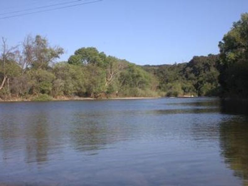
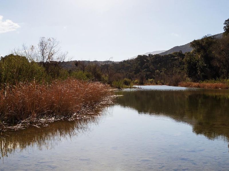
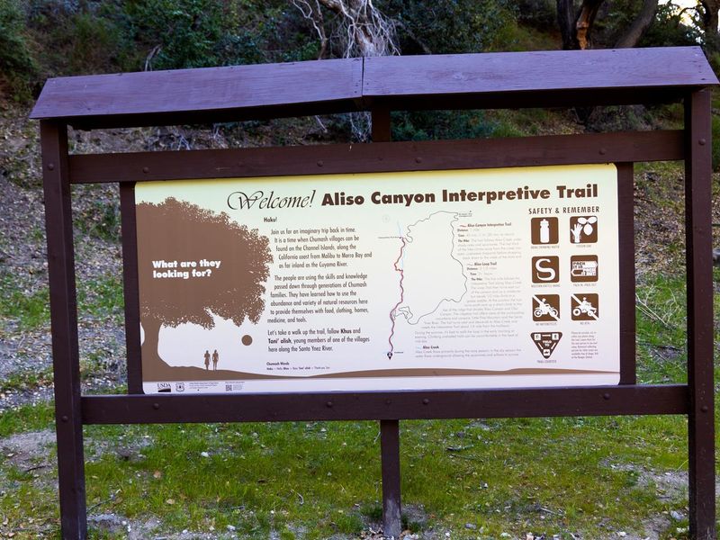
Sage Hill Campground sits in the Santa Ynez Mountain Range of Los Padres National Forest, about 22 miles from Santa Barbara and 11 miles from Cachuma Lake. The five group sites occupy a flat, oak-shaded area adjacent to the Santa Ynez River, which flows into Cachuma Lake seven miles west. The standard sites (Cactus, Live Oak, Sycamore, and Pine) each accommodate up to 50 people, while the Caballo equestrian site holds up to 60 people and features 12 corrals and a hitching post. Each site includes picnic tables, fire pits, and access to group barbecues. Flush toilets and potable water are available on-site, though the Live Oak site currently has portable toilets. The paved roads and large parking areas easily accommodate horse trailers and RVs up to 99 feet, though no hookups or dump station are available (the nearest dump station is at Cachuma Lake). Fishing in the river yields carp, catfish, bluegill, and occasional bass. The Aliso Canyon Trail starts at the campground and connects to Upper Oso Campground, where the Santa Cruz Trail begins. During heavy spring rains, the river crossing to reach the campground can become temporarily impassable.
Directions
From Highway 101, take Highway 154 approximately 15 miles to Paradise Road. Turn right and continue 5 miles to Los Prietos Road. Turn left past the ranger station to the camp entrance.
Amenities
| Water | Yes |
| Fires Allowed | Yes |
| Toilets | Yes |
| Dump Station | No |
| Wifi | — |
| Pets Allowed | Yes |
| Showers | No |
| Electric Hookups | — |
| Water Hookups | — |
| Sewer Hookups | — |
| Camp Store | — |
| Price | $150 |
Vehicle
| Max RV Length | 99ft |
| Max Trailer Length | 99ft |
| Big Rig Friendly | Yes |
| Pull Through Sites | No |
Contact
| customerservice@pmcparks.com | |
| Phone | +1 (805) 434-1996 |
Cell Service
| AT&T | None |
| Verizon | Yes |
| T-Mobile | Yes |
Availability
Photos
Community Posts
No posts yet. Be the first to share your experience!