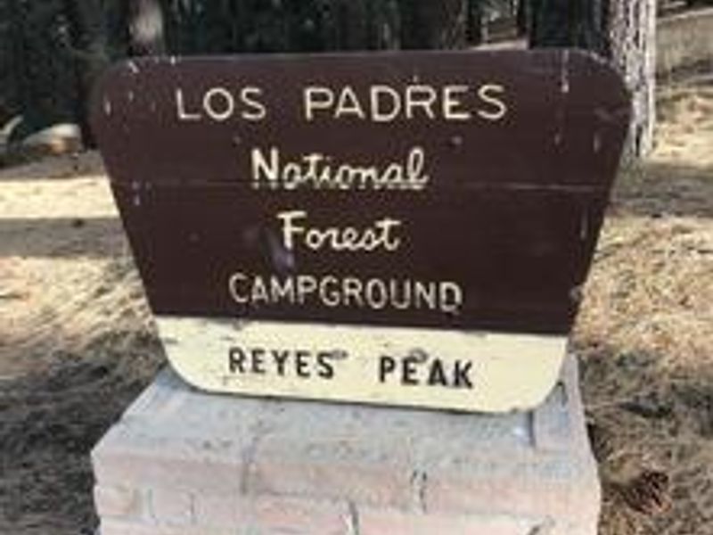
Reyes Peak Campground
Open for the season from May through December. Four sites are reservable via Recreation.gov; two sites are first-come, first-served. No potable water available. Campfires are normally permitted in designated fire rings but may be prohibited during high fire danger periods.
National Forest System Roads
Follow California Vehicle Code on National Forest System Roads
Fireworks and Explosives are always Prohibited
Fireworks and explosives (including explosive targets) are always prohibited on national forest lands. The prohibition of fireworks and exploding targets on national forest system lands is part of a set of permanent fire safety regulations in the Code of Federal Regulations (CFR), listed below.…
Santa Lucia Ranger District Storm Damage Recovery
To provide for public health and safety, the following acts are prohibited within the Santa Lucia Ranger District of the Los Padres National Forest.1. Entering or using the following developed recreation sites or portions thereof, as shown on the attached maps. 36 C.F.R. § 261.58(b). a.…
About
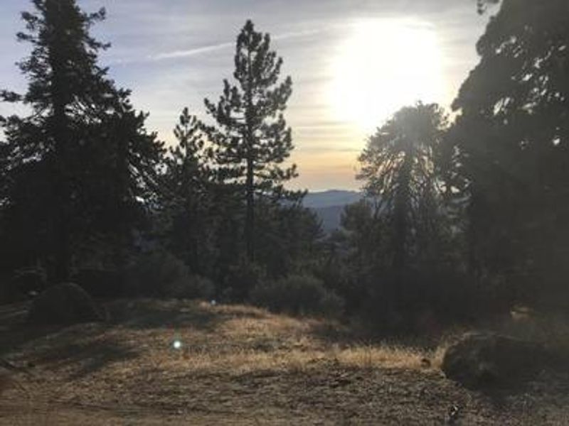
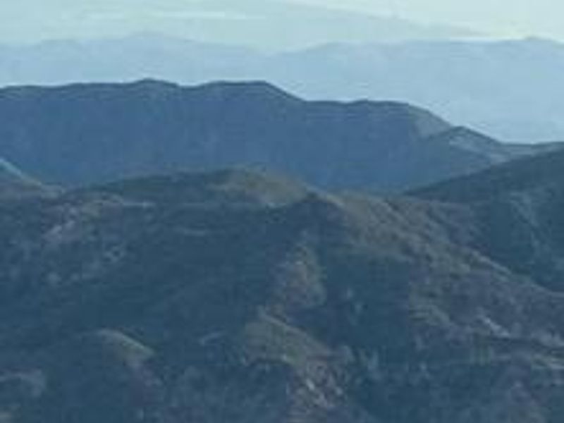
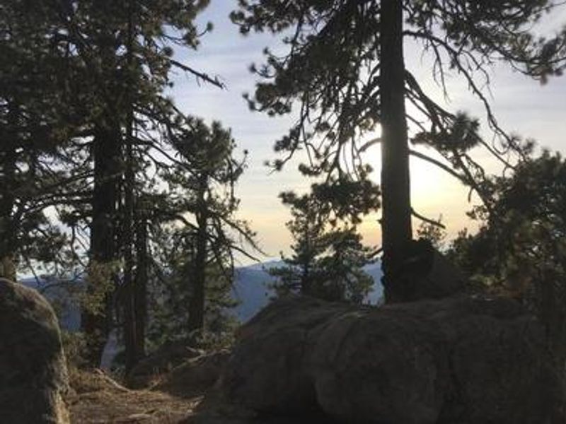
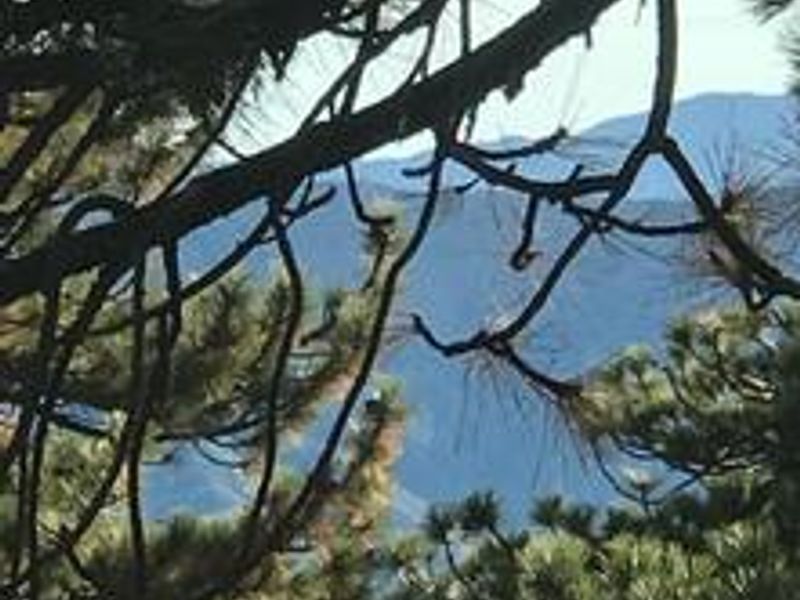
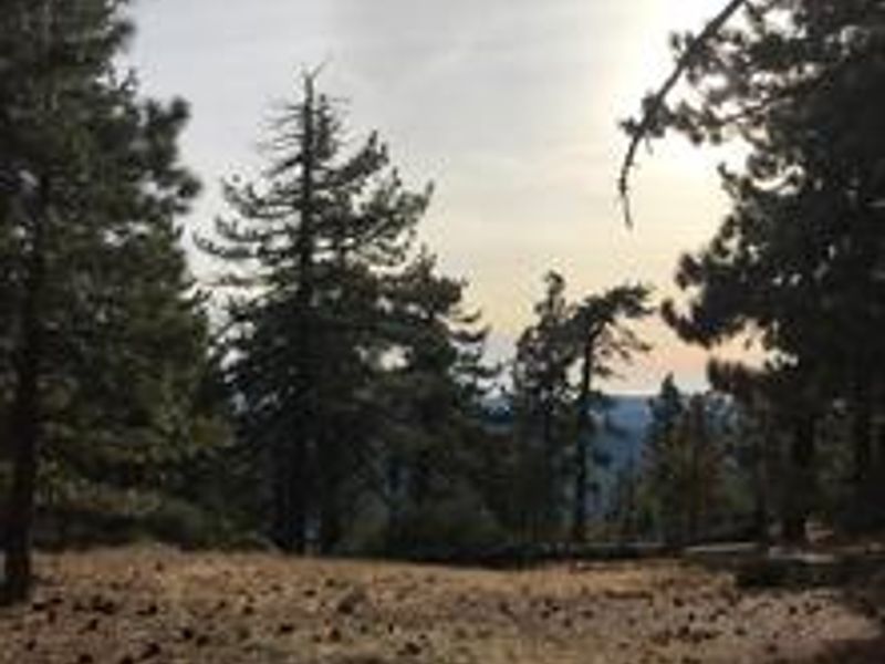
Perched at 7,000 feet on the Pine Mountain ridge, Reyes Peak Campground provides a high-elevation escape with dual vistas: the rugged Cuyama Badlands to the north and the Pacific Ocean with Channel Islands visible to the south on clear days. The six tent-only campsites are scattered along the ridgeline beneath a canopy of Jeffrey pines, sugar pines, white fir, and ponderosa pines. Wildflowers including lupine, scarlet bugler, and false lupine bloom abundantly in spring and early summer. The campground serves as a trailhead for several routes. The Reyes Peak Trail (23W04) leads 5.8 miles eastward into the Sespe Wilderness to connect with the Gene Marshall-Piedra Blanca National Recreation Trail. Chorro Grande Trail begins at the gate past the last campsite, while the half-mile Raspberry Spring Trail offers a gentle walk through the pines. Red-tailed hawks and California condors soar overhead, and deer, bear, and coyote inhabit the surrounding forest. Facilities are basic: each site has a picnic table, fire ring, and barbecue grill, with one vault toilet near the first few sites. There is no potable water, so campers must bring their own supply. Four sites are reservable through Recreation.gov while two remain first-come, first-served.
Directions
Follow Highway 33 to the turnoff at Pine Mountain Summit (6N06) at mile marker 42.50. Turn right and follow the partially paved road for 5.7 miles to the campground. Total distance from Ojai is approximately 39 miles.
Location
Amenities
| Water | No |
| Fires Allowed | Yes |
| Toilets | Yes |
| Dump Station | No |
| Wifi | No |
| Pets Allowed | Yes |
| Showers | No |
| Electric Hookups | — |
| Water Hookups | — |
| Sewer Hookups | — |
| Camp Store | No |
| Price | $30 |
Vehicle
| Max RV Length | — |
| Max Trailer Length | — |
| Big Rig Friendly | No |
| Pull Through Sites | No |
Contact
| Phone | +1 (805) 434-1996 |
Cell Service
| AT&T | None |
| Verizon | Yes |
| T-Mobile | None |
Availability
Photos

Community Posts
No posts yet. Be the first to share your experience!