Northshore Campground
Closed for the season. The campground typically opens in late June and operates through September. Reservations are available via Recreation.gov. Maximum stay is 14 days per district annually.
National Forest System Roads
Follow California Vehicle Code on National Forest System Roads
Fireworks and Explosives are always Prohibited
Fireworks and explosives (including explosive targets) are always prohibited on national forest lands. The prohibition of fireworks and exploding targets on national forest system lands is part of a set of permanent fire safety regulations in the Code of Federal Regulations (CFR), listed below.…
Fire Restrictions are in Effect Forest Wide
Fire Restrictions are in effect forest wide. No campfires except in existing stoves, charcoal grills, or fire rings provided in the Recreation Sites listed in Exhibit A in the Forest Order and actively serviced by a camp host.No charcoal firesCamp stoves, lanterns and propane fire rings are…
About
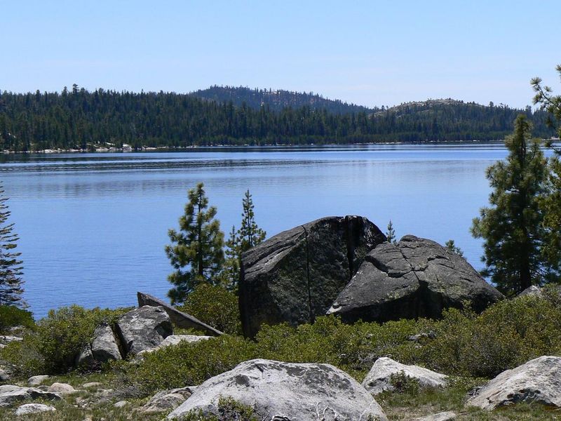
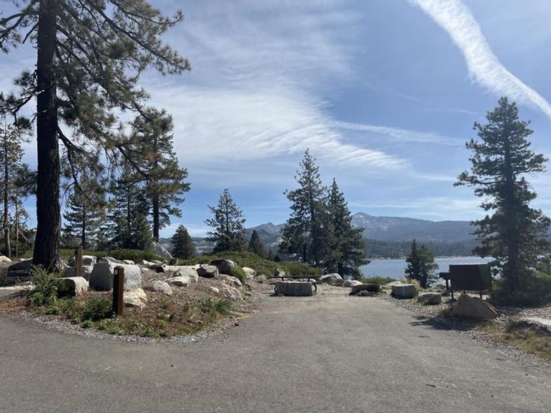
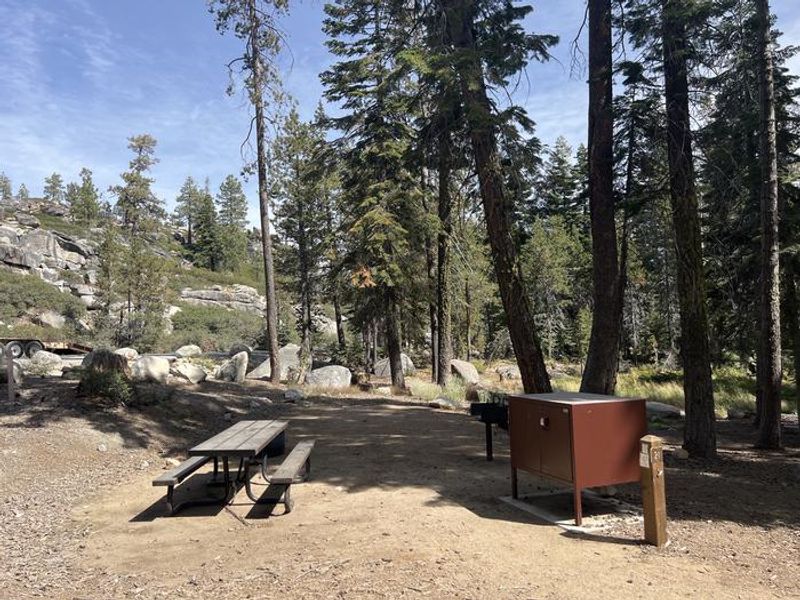
Northshore Campground is a scenic Forest Service campground located on the north shore of Loon Lake in the Eldorado National Forest. Situated at high elevation in the Sierra Nevada, the campground provides access to pristine alpine waters and granite-studded wilderness. The 24 sites are divided between tent-only sites, tent/trailer/RV sites, double family sites, and walk-in tent sites for those seeking more seclusion. The campground offers essential amenities including vault toilets, potable water from faucets (tested monthly during the season), picnic tables, and fire rings at each site. There are no hookups or showers, and RV water tank filling is prohibited. Trash service is provided. A dump station is available at the nearby Loon Lake Campground. Recreation opportunities abound, including swimming and fishing in Loon Lake, boating (ramp at Loon Lake Campground), and access to the Rubicon OHV Trail in summer. Hikers and equestrians can access Desolation Wilderness from nearby trailheads. Bears frequent the area, so proper food storage is required. Pets are allowed on leash.
Directions
23 miles east of Placerville on Highway 50 and 31 miles north on Ice House Road (Forest Road 3), take the Loon Lake fork.
Amenities
| Water | Yes |
| Fires Allowed | Yes |
| Toilets | Yes |
| Dump Station | No |
| Wifi | — |
| Pets Allowed | Yes |
| Showers | No |
| Electric Hookups | — |
| Water Hookups | — |
| Sewer Hookups | — |
| Camp Store | — |
| Price | $36 |
Vehicle
| Max RV Length | 50ft |
| Max Trailer Length | — |
| Big Rig Friendly | — |
| Pull Through Sites | No |
Contact
| info@royalelkparkmanagement.com | |
| Phone | +1 (530) 644-2324 |
Cell Service
| AT&T | None |
| Verizon | None |
| T-Mobile | None |
Useful Links
| View on Recreation.gov | |
| USFS Northshore Campground |
Availability
Photos
Community Posts
No posts yet. Be the first to share your experience!