Loon Lake
Currently closed for reconstruction. Potential reopening June 19, 2026 at 2 pm. The boatramp and day use parking remain open for day use only; visitors cannot walk through the campground to trails due to safety considerations during construction. Normal season runs late June through October. Reservations through Recreation.gov.
National Forest System Roads
Follow California Vehicle Code on National Forest System Roads
Fireworks and Explosives are always Prohibited
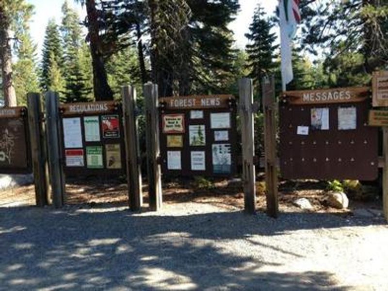
Fireworks and explosives (including explosive targets) are always prohibited on national forest lands. The prohibition of fireworks and exploding targets on national forest system lands is part of a set of permanent fire safety regulations in the Code of Federal Regulations (CFR), listed below.…
Fire Restrictions are in Effect Forest Wide
Fire Restrictions are in effect forest wide. No campfires except in existing stoves, charcoal grills, or fire rings provided in the Recreation Sites listed in Exhibit A in the Forest Order and actively serviced by a camp host.No charcoal firesCamp stoves, lanterns and propane fire rings are…
About
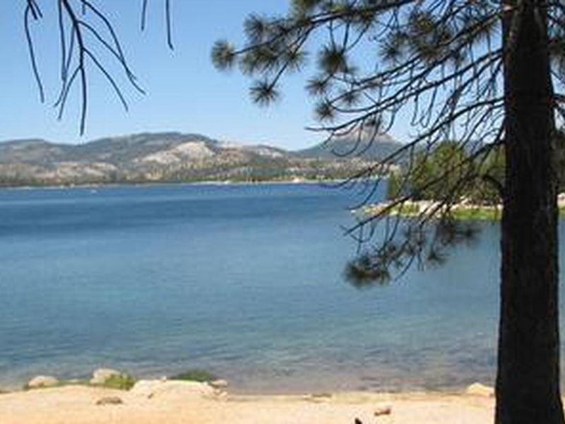
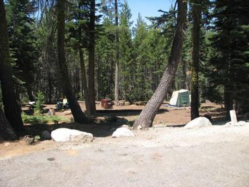
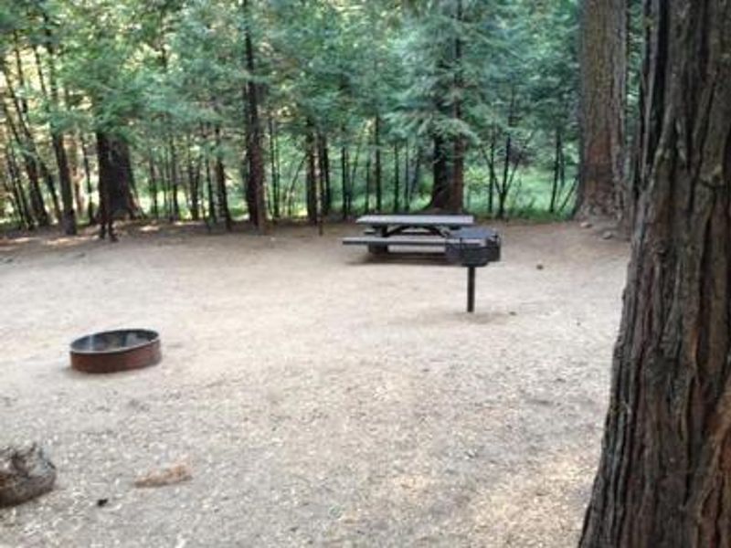
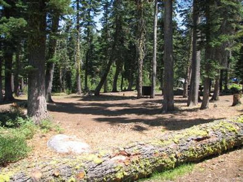
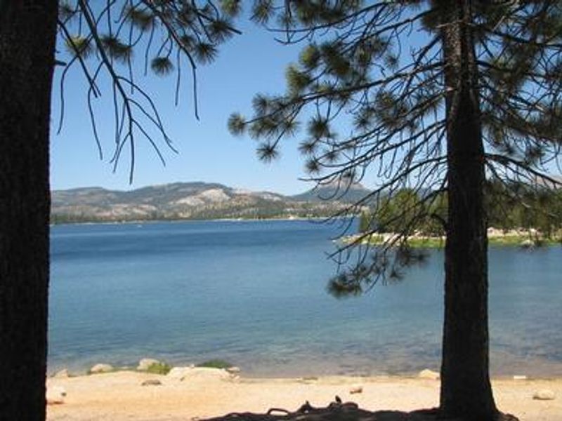
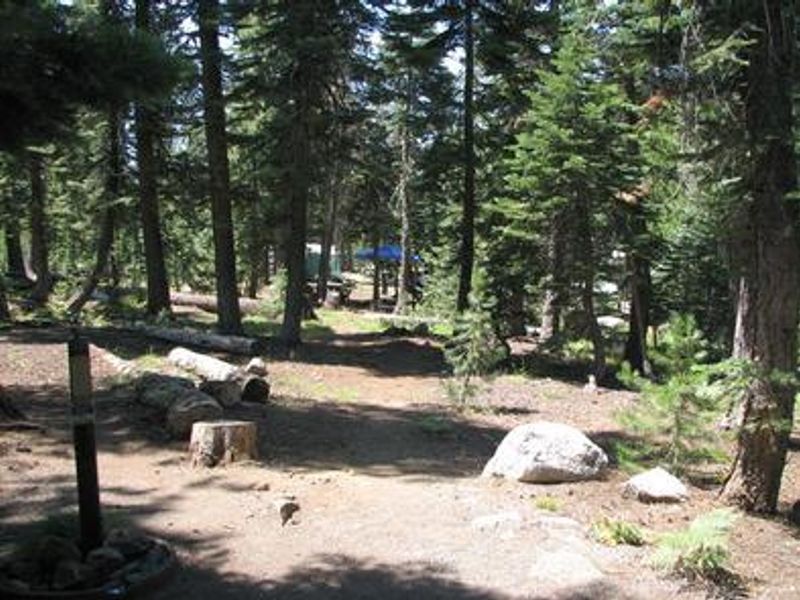
Loon Lake Campground occupies a scenic position on the south shore of Loon Lake, a reservoir formed by Loon Lake Dam completed in 1963 by SMUD for hydroelectric power. The setting features granite bowls and sub-alpine forests of red fir and lodgepole pine, with views of the Crystal Range. At 6,500 feet elevation just west of Lake Tahoe, the campground experiences a Mediterranean climate with warm, dry summers and cold, wet winters. The campground offers 53 standard sites spread across multiple loops (Shadow, Ellis, and Fern), plus 9 equestrian sites and 15 boatramp camping sites. Four sites are ADA accessible. All sites include picnic tables, fire rings, grills, and bear-proof food storage lockers. Vault toilets, potable water, and an RV dump station are available. A boat ramp provides direct lake access for fishing, water skiing, and swimming. The area serves as a gateway to Desolation Wilderness, with trailhead access nearby requiring wilderness permits. The Rubicon Jeep Trail, an 18-mile off-road adventure, begins in the vicinity. Firewood is sold on-site and a campground host is present during the season.
Directions
Take Highway 50 east of Placerville for 23 miles to Ice House Road (Forest Road 3). Turn left and drive north 29 miles to Loon Lake Campground on the south side of the lake.
Amenities
| Water | Yes |
| Fires Allowed | Yes |
| Toilets | Yes |
| Dump Station | Yes |
| Wifi | No |
| Pets Allowed | Yes |
| Showers | No |
| Electric Hookups | — |
| Water Hookups | — |
| Sewer Hookups | — |
| Camp Store | No |
| Price | $36 - $160 |
Vehicle
| Max RV Length | 35ft |
| Max Trailer Length | 35ft |
| Big Rig Friendly | No |
| Pull Through Sites | No |
Contact
| Phone | +1 (530) 644-2324 |
Cell Service
| AT&T | None |
| Verizon | None |
| T-Mobile | None |
Availability
Photos
Community Posts
No posts yet. Be the first to share your experience!