Mt. Pinos Campground
The campground opens for the 2026 season on May 15. Operations run May through November. 15 sites are reservable via Recreation.gov with a 6-month rolling window; 4 sites remain first-come-first-served. Check-in is 3:00 PM, check-out is 12:00 PM. Quiet hours are 10:00 PM to 6:00 AM.
National Forest System Roads
Follow California Vehicle Code on National Forest System Roads
Fireworks and Explosives are always Prohibited
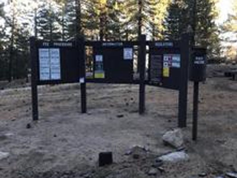
Fireworks and explosives (including explosive targets) are always prohibited on national forest lands. The prohibition of fireworks and exploding targets on national forest system lands is part of a set of permanent fire safety regulations in the Code of Federal Regulations (CFR), listed below.…
Santa Lucia Ranger District Storm Damage Recovery
To provide for public health and safety, the following acts are prohibited within the Santa Lucia Ranger District of the Los Padres National Forest.1. Entering or using the following developed recreation sites or portions thereof, as shown on the attached maps. 36 C.F.R. § 261.58(b). a.…
About
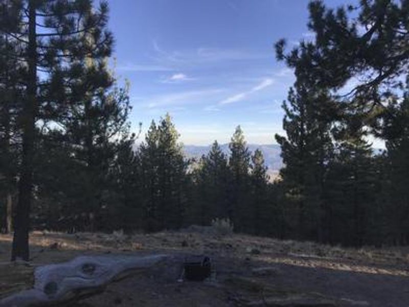
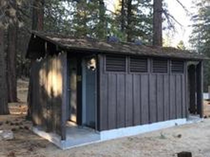
Mt. Pinos Campground occupies a high-elevation setting at 7,800 feet within the Mt. Pinos Ranger District of Los Padres National Forest. The Chumash people called this mountain Iwihinmu, meaning the center of the world where everything was in balance. The campground is nestled among Jeffrey pines with sweeping views of Lockwood Valley and Frazier Mountain, and on clear days the entire San Joaquin Valley is visible. The campground is renowned as one of California's best stargazing locations, attracting amateur astronomers who appreciate the exceptionally dark skies and low light pollution. Hiking opportunities include the Mount Pinos Trail and McGill exploration trail, while cyclists can ride to the summit. The 19 campsites include both reservable and first-come-first-served options, each equipped with a picnic table and fire ring. This is a primitive camping experience with vault toilets only. No potable water, showers, hookups, or trash service are provided. Due to narrow road sections, RVs over 22 feet and trailers are not recommended. Nights can be cold even in summer at this elevation, so campers should prepare accordingly.
Directions
From I-5, take the Frazier Park exit (Frazier Mountain Park Road). Travel west approximately 6 miles as the road becomes Cuddy Valley Road. At the Y intersection, veer left onto Mt. Pinos Highway and continue approximately 7 miles. The campground is on the southeast side of the road, past McGill Campground and two snow gates.
Amenities
| Water | No |
| Fires Allowed | Yes |
| Toilets | Yes |
| Dump Station | No |
| Wifi | No |
| Pets Allowed | Yes |
| Showers | No |
| Electric Hookups | — |
| Water Hookups | — |
| Sewer Hookups | — |
| Camp Store | No |
| Price | $30 |
Vehicle
| Max RV Length | 40ft |
| Max Trailer Length | 22ft |
| Big Rig Friendly | No |
| Pull Through Sites | No |
Contact
| customerservice@pmcparks.com | |
| Phone | +1 (661) 245-3731 |
Cell Service
| AT&T | Yes |
| Verizon | Yes |
| T-Mobile | None |
Availability
Photos


Community Posts
No posts yet. Be the first to share your experience!