Lower Hermosa
Open for the 2026 season. The campground operates May through September on a first-come, first-served basis. Check-in is 2:00 PM, check-out is 12:00 PM. No advance reservations accepted.
Flood Watch issued October 29 at 9:42PM MDT until November 2 at 11:00AM MST by NWS Grand Junction CO
* WHAT...Flooding caused by excessive rainfall is possible. * WHERE...Portions of southwest Colorado, including the following areas, Animas River Basin, Four Corners/Upper Dolores River, San Juan River Basin and Southwest San Juan Mountains and southeast Utah, including the following areas, Canyonlands/Natural Bridges, La Sal and Abajo Mountains and Southeast Utah. * WHEN...From Sunday morning through Monday morning. * IMPACTS...Excessive runoff may result in flooding of rivers, creeks, streams, recently burned areas, and other low-lying and flood-prone locations. Low-water crossings may be flooded. Storm drains and ditches may become clogged with debris. * ADDITIONAL DETAILS... - 1 to 3 inches of rain is expected across portions of southeast Utah and southwest Colorado from Sunday morning through Monday morning over soils that are still saturated from recent rainfall and flooding. - http://www.weather.gov/safety/flood
Hydrologic Outlook issued October 29 at 10:53AM MDT by NWS Grand Junction CO
ESFGJT Low pressure begins to dig southward from the PACNW on Friday, tapping into a fetch of Pacific moisture that will evolve into an atmospheric river streaming into the Desert Southwest this weekend. Showers and thunderstorms develop on Friday and Saturday across the region. Lighter rainfall totals Friday and Saturday will reflect, initially lower, moisture. However, a few thunderstorms could produce impactful downpours on saturated soils left over from last weekend's historic rainfall. Deeper moisture develops Saturday night and early Sunday. This is expected to produce heavier and more widespread rainfall across southeast UT and southwest CO Sunday and Monday, mostly below 10000 feet. While rivers are forecast to remain below action stage, a growing concern lies in the potential for runoff around saturated hillsides in the region. This could produce rock, mud, and debris flows onto roadways, as well as flash flood prone burn scars, washes, slot canyons, and arroyos. Early estimates predict an area of 1 to 2 inches of new rainfall for portions of southeast UT and southwest CO. This is a preliminary forecast that hinges on slight shifts in a strong moisture plume impacting the region. It also attempts to capture the most statistically likely outcome, despite stronger and weaker outlier predictions. Outdoor enthusiasts, motorists, and residents of recent flood impacted areas are encouraged to remain abreast of the developing forecast in the coming days.
Wheeled Vehicles in Wilderness
This order describes the prohibition of wheeled vehicles in all National Forest Wilderness Areas of the Rocky Mountain Region and any exceptions thereof.
About
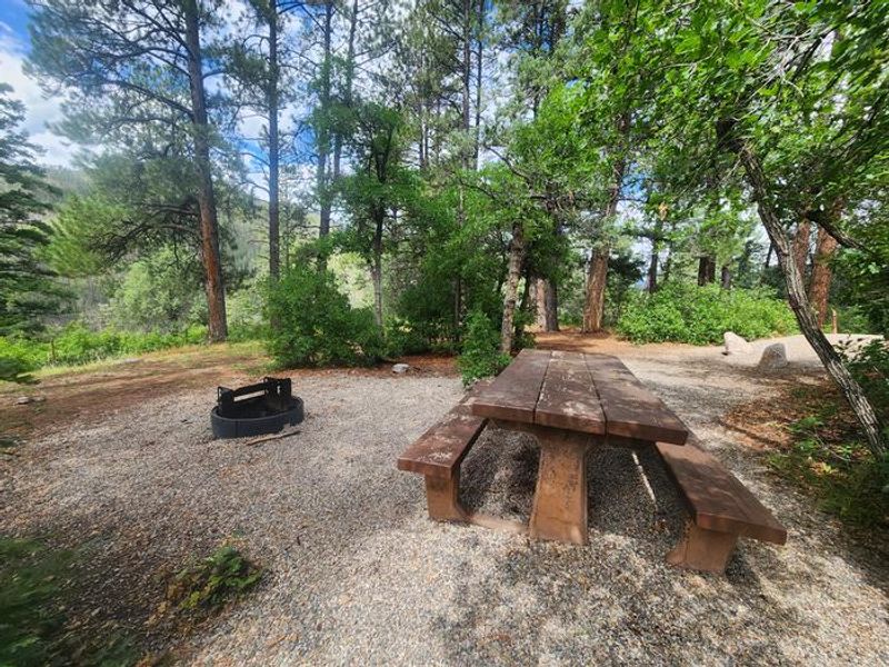
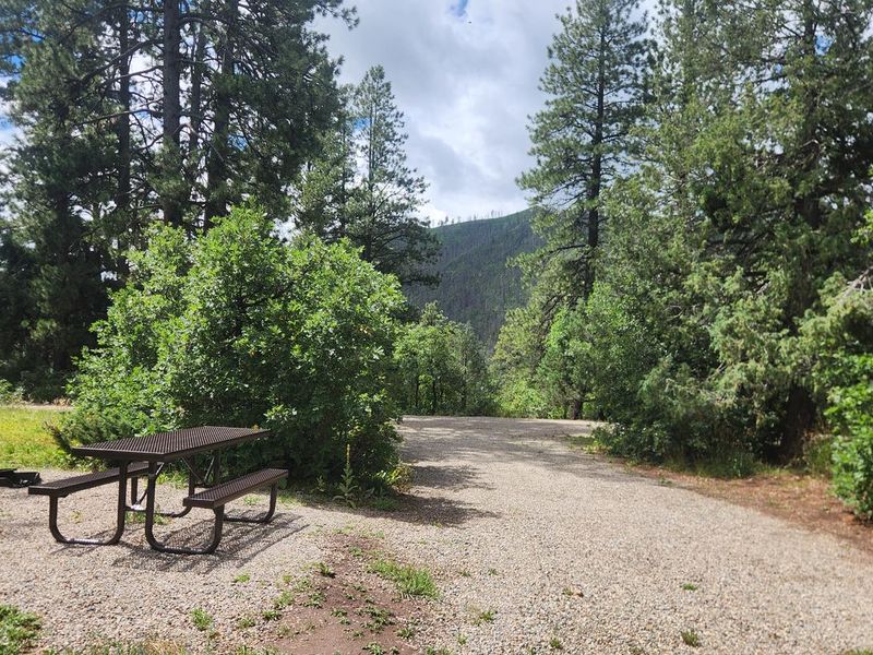
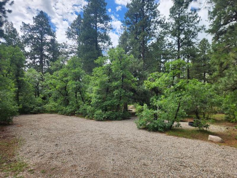
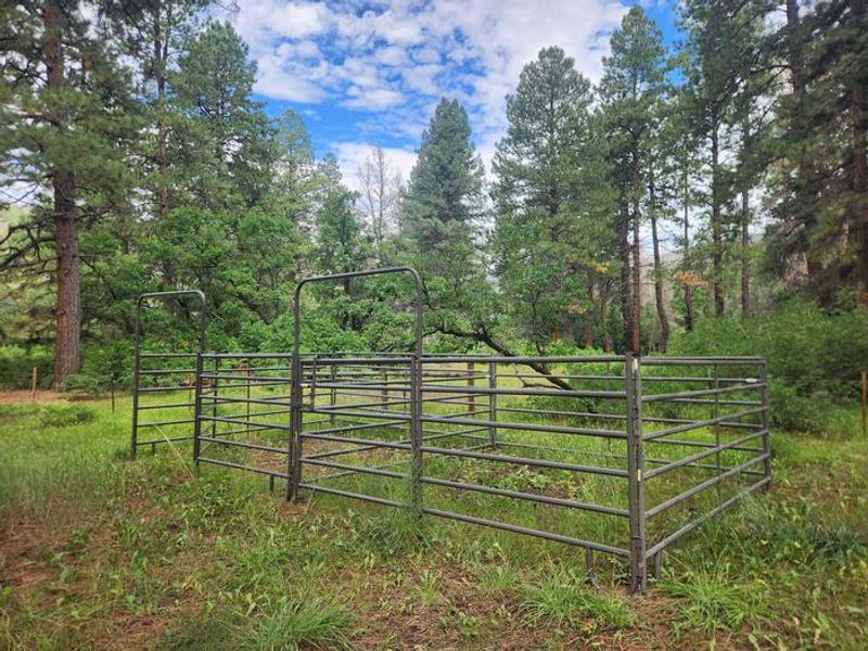
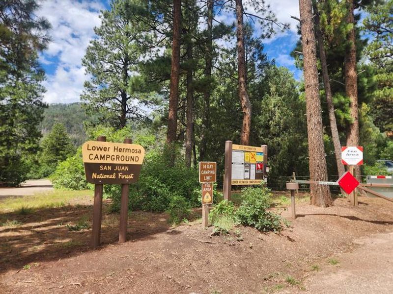
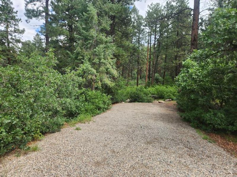
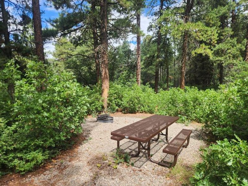
Lower Hermosa Campground sits along Hermosa Creek at the southern gateway to the Hermosa Creek Special Management Area in Colorado's San Juan National Forest. The 19-site campground operates first-come, first-served from May through September, with payment accepted via cash, check, or the Recreation.gov mobile app's Scan and Pay feature. Each site accommodates up to 8 people and includes a picnic table and fire ring. The campground provides vault toilets but no potable water, so campers must pack in their own supply. The adjacent Lower Hermosa Creek Trailhead offers additional parking and a horse corral with hitching posts for overnight equestrian use, though horses are prohibited within the campground itself. Bear-safe food storage is strongly recommended. Hermosa Creek Trail #514 begins at the parking lot and follows the creek approximately 25 miles through the special management area to Upper Hermosa Trailhead. The singletrack trail attracts mountain bikers, horseback riders, hikers, and anglers, with some sections featuring steep dropoffs. Quiet hours are enforced from 10 PM to 6 AM with generator use limited to one hour maximum.
Directions
From Durango, travel north on Highway 550 for approximately 14 miles. Turn left (west) at Hermosa onto County Road 201, which becomes Forest Road 576. Continue approximately 4 miles to the campground entrance.
Amenities
| Water | No |
| Fires Allowed | Yes |
| Toilets | Yes |
| Dump Station | No |
| Wifi | No |
| Pets Allowed | Yes |
| Showers | No |
| Electric Hookups | — |
| Water Hookups | — |
| Sewer Hookups | — |
| Camp Store | No |
| Price | $18 |
Vehicle
| Max RV Length | 30ft |
| Max Trailer Length | 30ft |
| Big Rig Friendly | No |
| Pull Through Sites | No |
Contact
| Phone | +1 (970) 884-2512 |
Cell Service
| AT&T | None |
| Verizon | None |
| T-Mobile | None |
Availability
Photos
Community Posts
No posts yet. Be the first to share your experience!