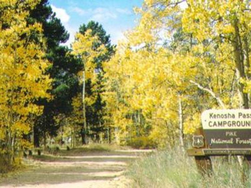
Kenosha Pass Campground
Closed for the season. Opens late May, weather dependent. Full services available Memorial Day through Labor Day, with limited services (no water, trash, or host) through late September.
About
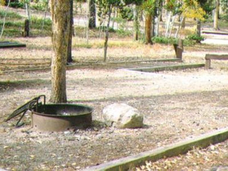
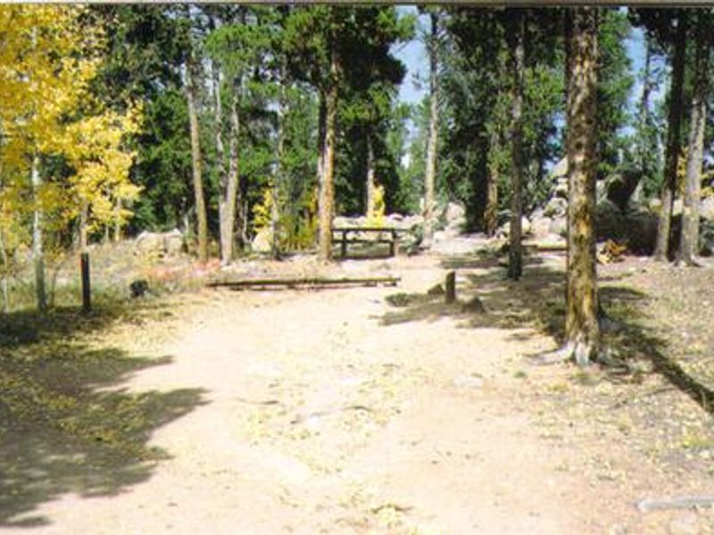
Kenosha Pass Campground is a small, scenic campground at 10,000 feet elevation in Pike National Forest, located at the summit of Kenosha Pass approximately 50 miles southwest of Denver on Highway 285. The 25 campsites are nestled among lodgepole pine and aspen trees, with parking spurs ranging from 16 to 30 feet. Each site includes a picnic table and fire ring. The campground is a popular basecamp for the Colorado Trail, which passes directly through the area on its 471-mile route from Denver to Durango. Across the road is the Kenosha Pass Interpretive Area featuring an accessible trail through wetlands and remnants of the South Park and Pacific Railroad. Jefferson Lake, known for excellent fishing, is 10 miles north. Facilities include vault toilets and potable water available from a hand pump. There are no hookups, showers, or dump stations. Summer temperatures are mild but nights can be very cold at this elevation. Thunderstorms are common; campers should take precautions for lightning.
Directions
From Denver, drive southwest on US Highway 285 approximately 50 miles. The campground is located at the summit of Kenosha Pass, on the right side of the highway. From Bailey, continue 17.5 miles southwest on Highway 285.
Amenities
| Water | Yes |
| Fires Allowed | Yes |
| Toilets | Yes |
| Dump Station | No |
| Wifi | — |
| Pets Allowed | Yes |
| Showers | No |
| Electric Hookups | — |
| Water Hookups | — |
| Sewer Hookups | — |
| Camp Store | — |
| Price | $28 |
Vehicle
| Max RV Length | 55ft |
| Max Trailer Length | 55ft |
| Big Rig Friendly | No |
| Pull Through Sites | No |
Contact
| Phone | +1 (303) 275-5610 |
Cell Service
| AT&T | None |
| Verizon | None |
| T-Mobile | None |
Availability
Photos
Community Posts
No posts yet. Be the first to share your experience!