Beaver Dam Campground
Open year-round with sites available via Recreation.gov or first-come, first-served. Note: The Sugar Cane National Recreation Trail is closed for bridge repairs until further notice (effective March 9, 2026).
Extreme Heat Warning issued July 22 at 12:09AM CDT until July 22 at 8:00PM CDT by NWS Shreveport LA
* WHAT...Dangerously hot conditions with heat index values up to 114. * WHERE...Portions of northwest Louisiana and east and northeast Texas. * WHEN...Until 8 PM CDT this evening. * IMPACTS...Heat related illnesses increase significantly during extreme heat and high humidity events.
Heat Advisory issued July 22 at 12:09AM CDT until July 22 at 12:00AM CDT by NWS Shreveport LA
* WHAT...Dangerously hot conditions with heat index values up to 114. * WHERE...Portions of northwest Louisiana and east and northeast Texas. * WHEN...Until 8 PM CDT this evening. * IMPACTS...Heat related illnesses increase significantly during extreme heat and high humidity events.
About
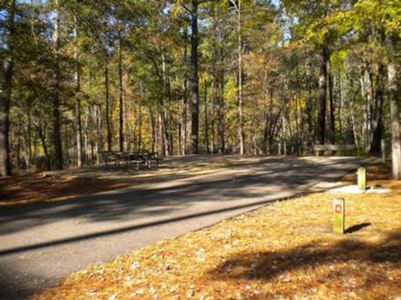
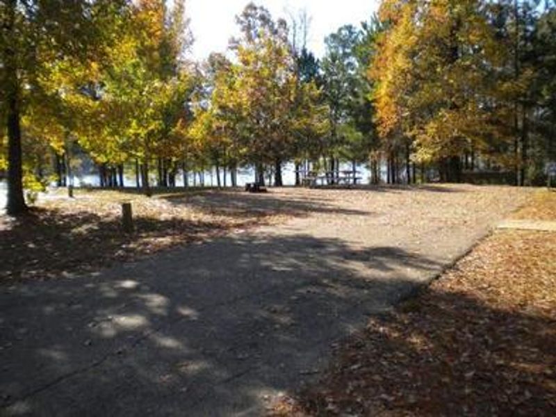
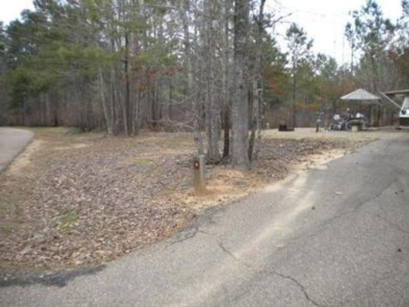
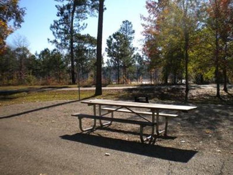
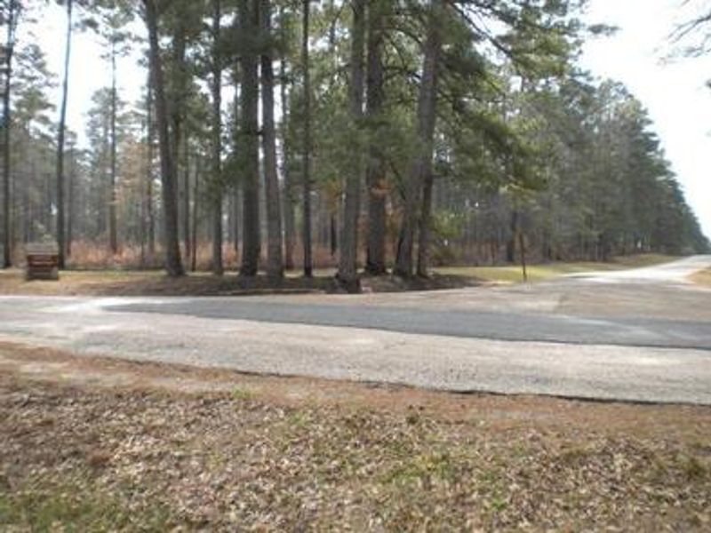
Beaver Dam Campground is nestled among woods, lakes, and rolling hills on the shores of Upper Caney Lake in Louisiana's only national forest. The Caney Lakes Recreation Complex encompasses both the 125-acre Upper Caney Lake and the 250-acre Lower Caney Lake, providing ample water recreation opportunities including swimming, boating, water skiing, and fishing for bass, crappie, catfish, bluegill, and sandbass. The campground features 28 individual sites, with 22 offering electric and water hookups and 6 non-electric sites for a more primitive experience. Flush toilets, drinking water, and a sanitary dump station are provided. A group picnic area near Lower Caney Lake accommodates larger gatherings. The Sugar Cane National Recreation Trail, named for the crop once cultivated in this area alongside cotton, spans 5.7 miles right next to the campground and is open to hiking and mountain biking. The 2-mile Lost Man Loop offers additional trail options. The nearby city of Minden provides restaurants, shopping, and golfing.
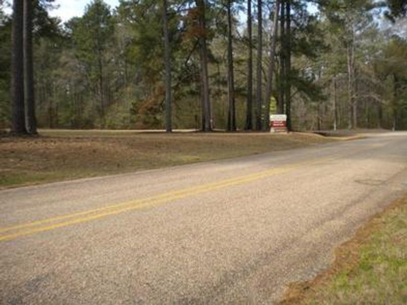
Directions
From Minden, take Louisiana 159 north to Caney Lake Road (Webster Parish Road 111). Turn left on Caney Lake Road and continue 2 miles to the recreation area entrance.
Amenities
| Water | Yes |
| Fires Allowed | — |
| Toilets | Yes |
| Dump Station | Yes |
| Wifi | — |
| Pets Allowed | Yes |
| Showers | — |
| Electric Hookups | Yes |
| Water Hookups | Yes |
| Sewer Hookups | No |
| Camp Store | — |
| Price | $25 - $50 |
Vehicle
| Max RV Length | 114ft |
| Max Trailer Length | 114ft |
| Big Rig Friendly | — |
| Pull Through Sites | No |
Contact
| Phone | +1 (318) 927-2061 |
Cell Service
| AT&T | Yes |
| Verizon | Yes |
| T-Mobile | Yes |
Availability
Photos

Community Posts
No posts yet. Be the first to share your experience!