Olive Lake (Or)
Umatilla National Forest
Summary
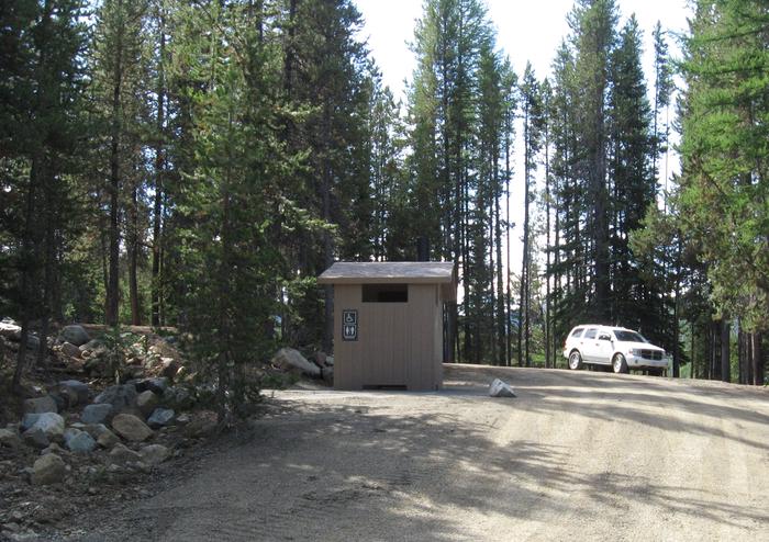
Nestled on the edge of a lake in the Blue Mountains of Eastern Oregon, Olive Lake Campground offers a scenic outdoor experience with a variety of activities such as fishing, boating, swimming, and wildlife viewing. The campground features 20 tent/RV campsites, 2 group sites, 6 tent only sites and 7 accessible toilet facilities. Visitors can explore the 2-mile hiking trail around the lake, the nearby wilderness and scenic area trails, and a variety of historic sites within 20 miles.
Overview
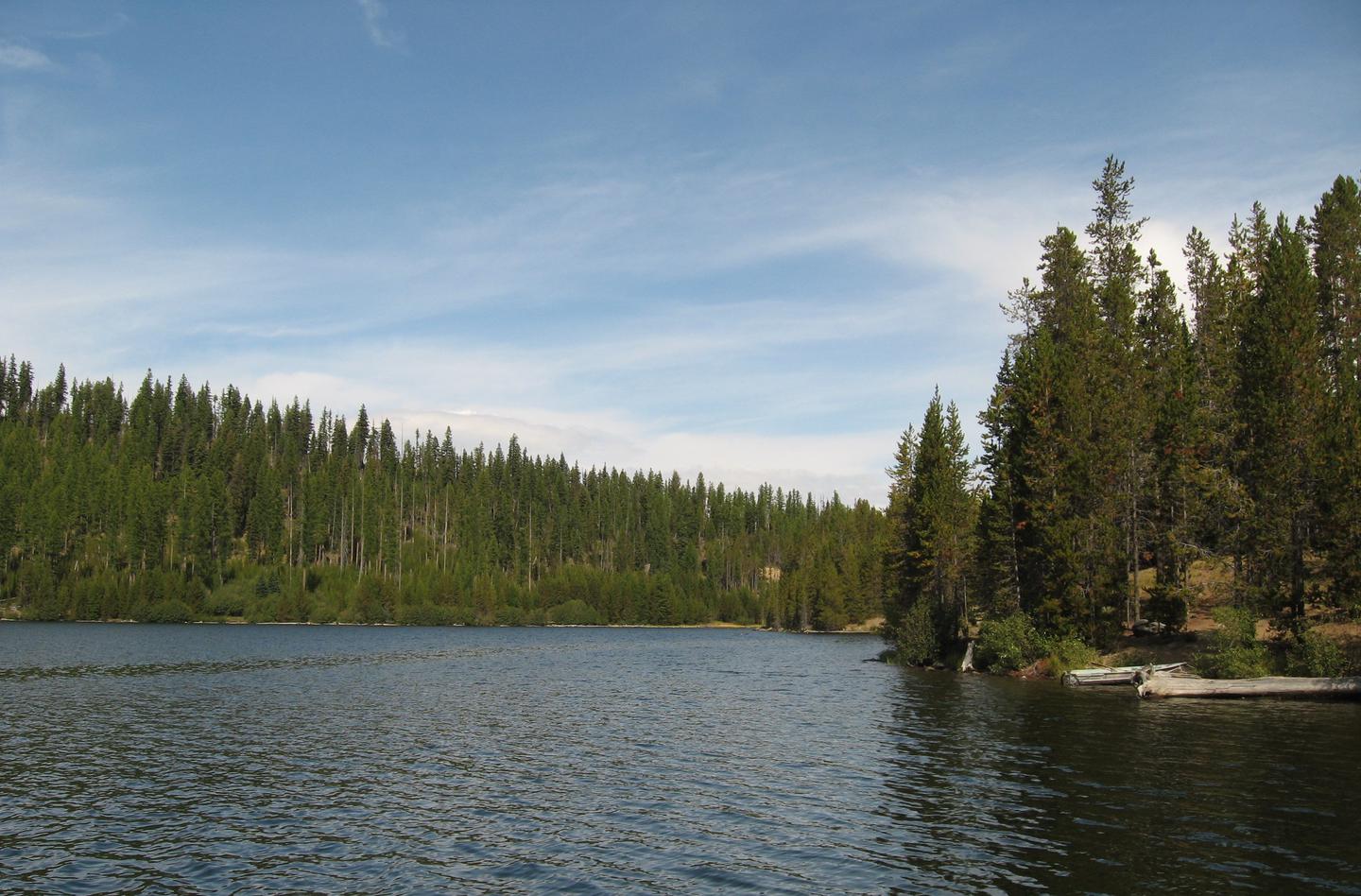
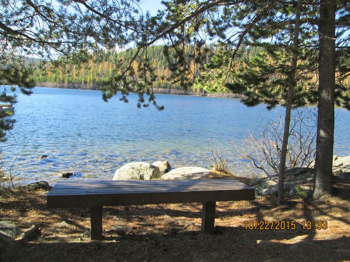
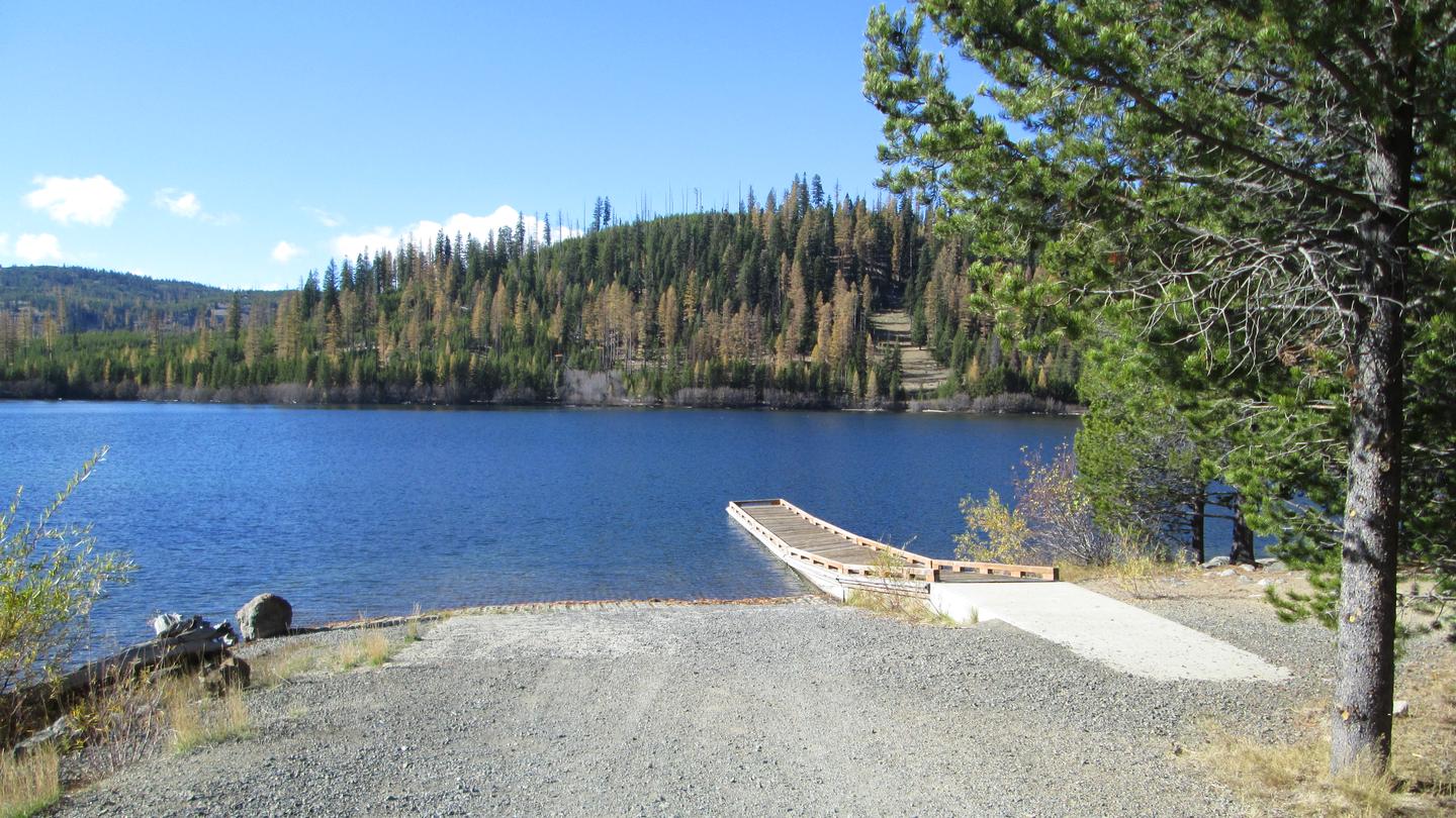
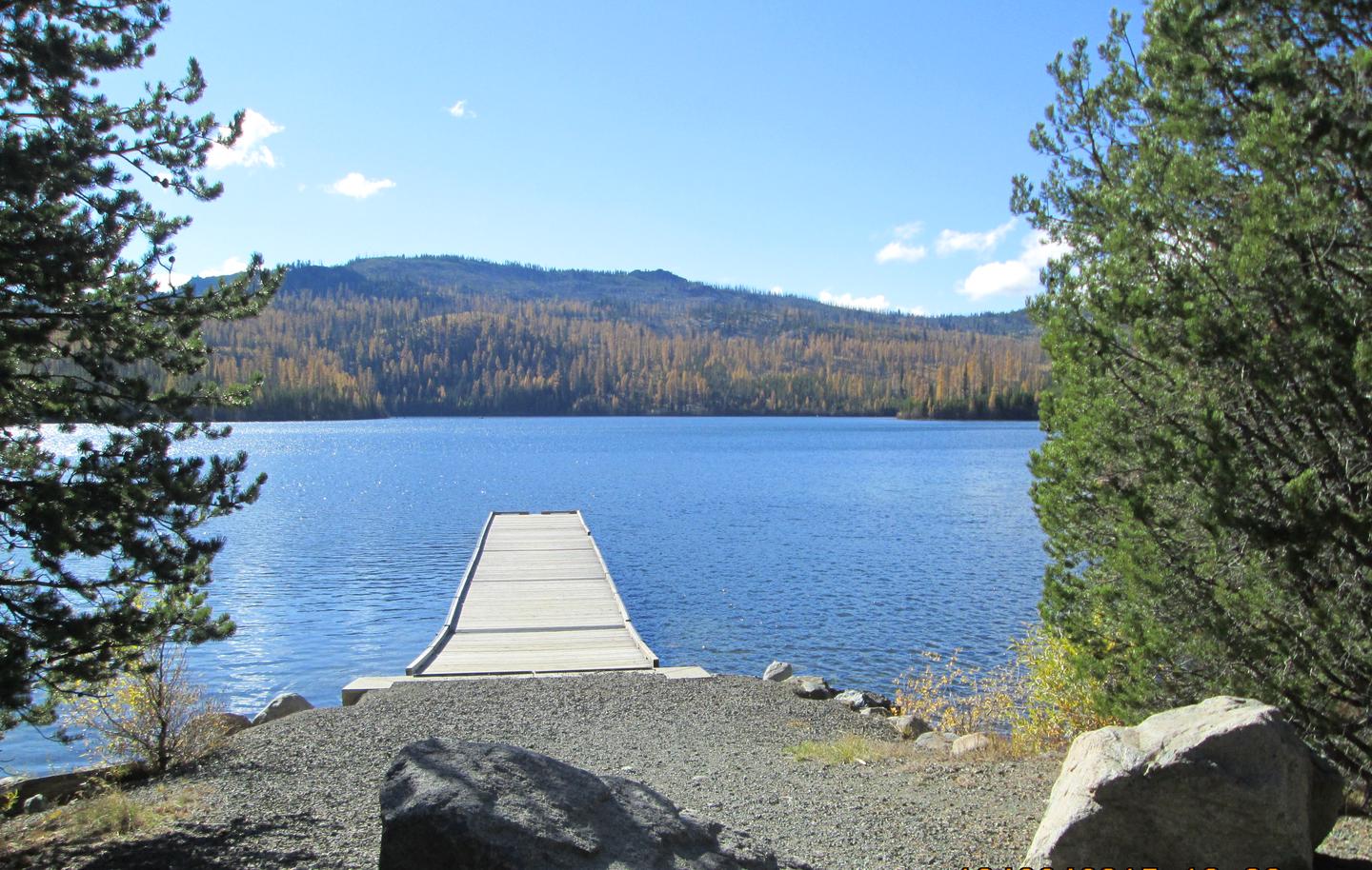
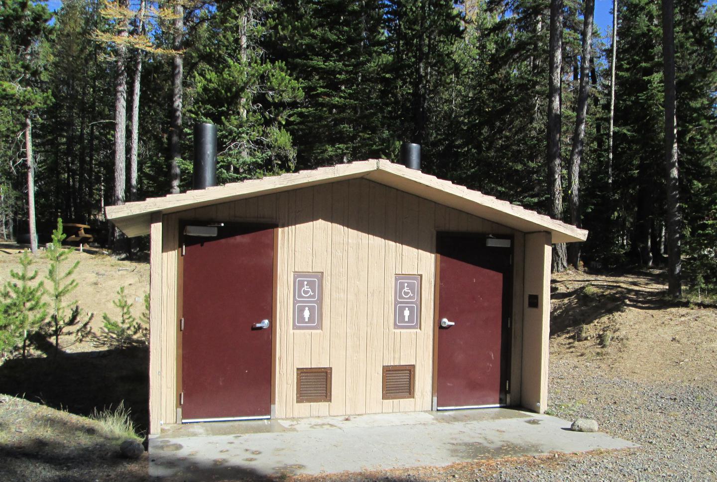
Nestled on the edge of a lake, high in the Blue Mountains of Eastern Oregon, this popular campground is only 8 miles west of the historic Fremont Powerhouse and 12 miles west of the old mining town of Granite. The campground features 28 campsites and 7 accessible toilet facilities. Other features include a 2-mile hiking trail around the lake with nearby access to wilderness and scenic area trails, a boat ramp and 2 docks. There is no potable water or garbage service, so please pack your garbage home.
Besides beautiful scenery, the lake offers many opportunities for wildlife viewing--particularly a nesting pair of osprey that return annually. Activities in this area include fishing, boating, swimming, hiking, hunting, and photography. Within 20 miles are several historic sites.
Recreation
A 2-mile hiking trail encircles the lake, providing access to more secluded spots where solitude can be enjoyed. Bicyclists can also enjoy the trail although there are a couple of spots bikes might need to be walked, depending on skill level. Anglers can fish for rainbow trout, cutthroat trout, brook trout, and kokanee and crawfish boils are a popular dinner option. There are 2 boat docks adjacent to the campground, as well as a boat ramp and trailer parking. Motorized boats are allowed on the lake, but wakes and jet skis are not allowed. There are opportunities for viewing wildlife such as deer, elk, bear, river otters, and osprey. Mushroom and berry picking are available in season. Other nearby trails access the North John Day Wilderness Area and Vinegar Hill Scenic Area. An interpretive sign about the beetle infestation is located in a few spots within the campground.
Facilities
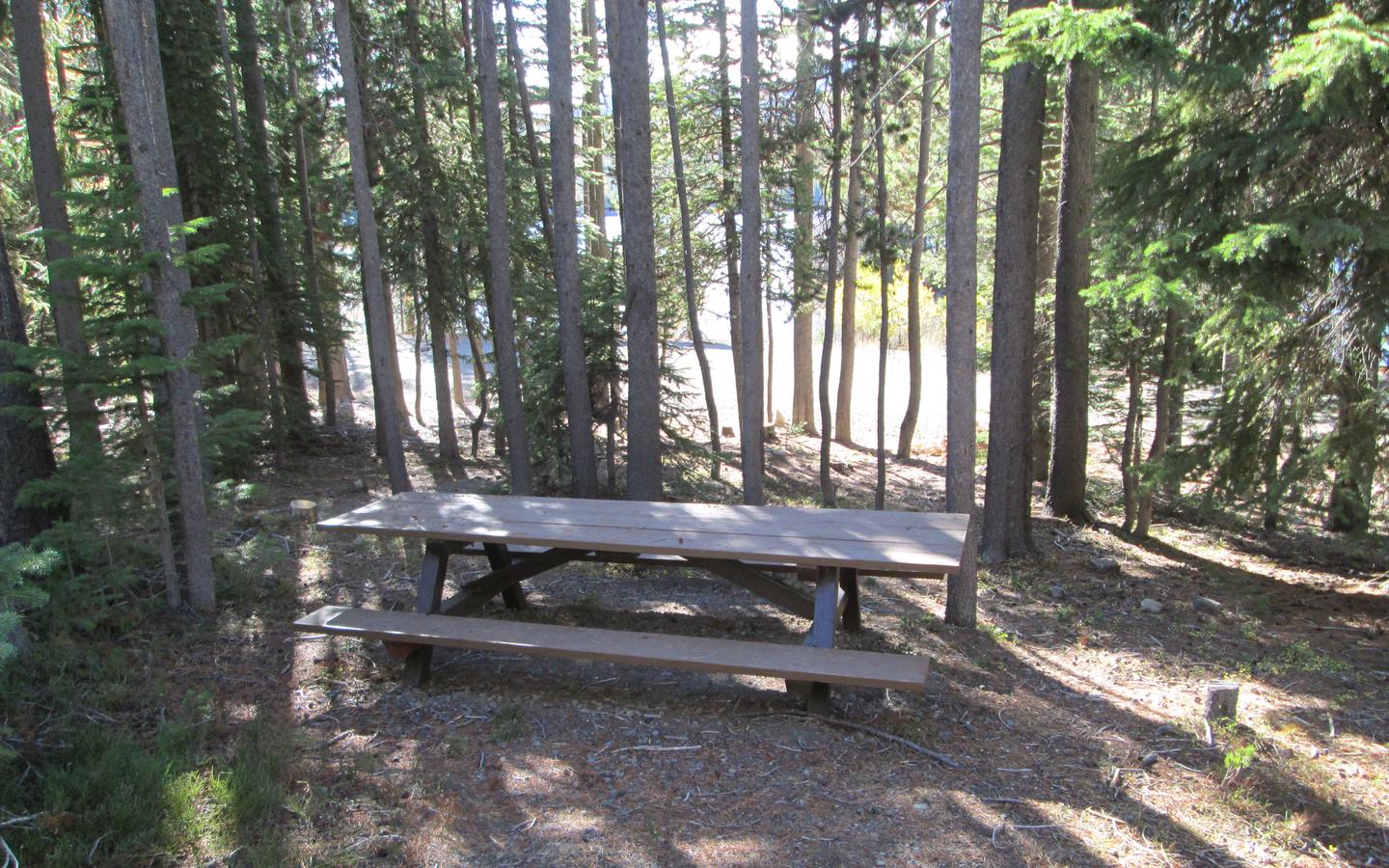
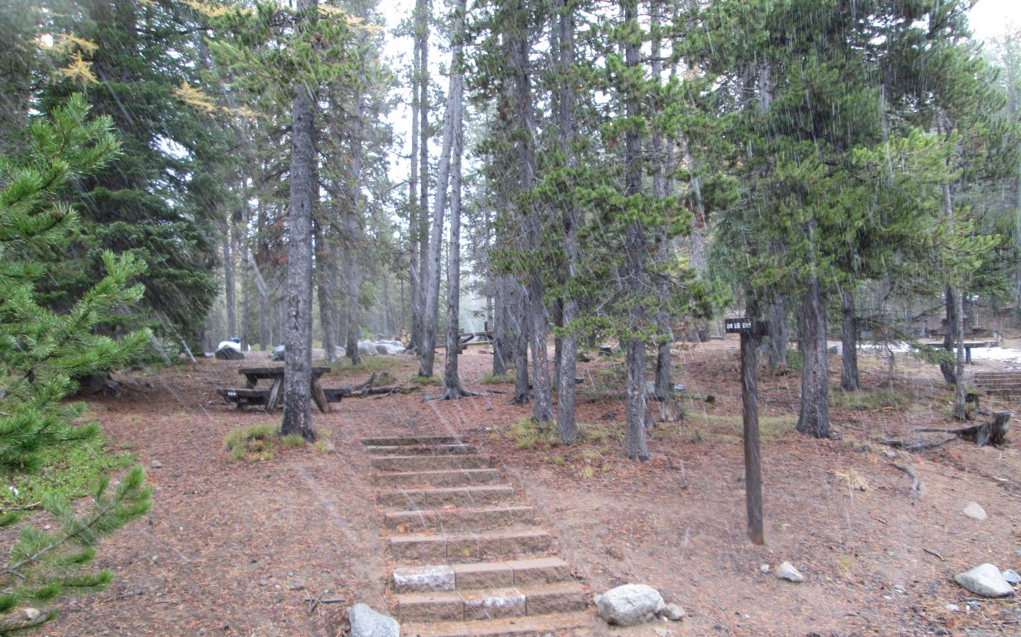
The campground features 20 tent/RV campsites, 2 group sites, 6 tent only sites and 7 accessible toilet facilities. Other features include a 2-mile hiking trail around the lake with nearby access to wilderness and scenic area trails, a boat ramp and 2 docks, and an interpretive sign. There is no potable water or garbage service, so please pack your garbage home. Potable water can be obtained from Fremont Powerhouse, 7 miles east of the campground from May 15-Sept 30.
Nearby Attractions
The area around Olive Lake is rich in history. The dam and gates on the north side of the lake were constructed as part of a hydroelectric system to support gold mining activities within the northern Blue Mountain Region. Historically, water from the lake flowed through a wooden pipeline to the Fremont Powerhouse, where it was used to produce electricity for mines and towns in the area. Fremont Powerhouse is located approximately 7 miles east and the historic moning town of Granite is 12 miles east of Olive Lake along Forest Road 73.
Photos
Campground Matrix
Set alerts at more campgrounds to increase your odds of getting a place to stay! Below is a list of the closest campgrounds supported on Campflare. Or, view all campgrounds in Umatilla National Forest.
| Nearby Campgrounds | Distance | Notification Rate |
|
Miners Retreat
Umatilla National Forest
|
4.8mi | — |
|
Caretakers Cabin
Umatilla National Forest
|
4.9mi | — |
|
Hilltop Hideaway - Umatilla Nf (Or)
Umatilla National Forest
|
4.9mi | — |
|
Congo Gulch
Umatilla National Forest
|
4.9mi | — |
|
Sunshine Guard Station
Malheur National Forest
|
9.6mi | — |
|
North Fork John Day (Or)
Umatilla National Forest
|
13.1mi | — |