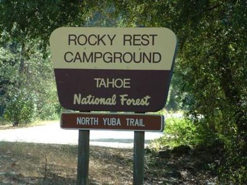
Rocky Rest
Open for the 2026 season, operating April 17 through October 15. Currently first-come-first-served with some sites also available via Recreation.gov. The USFS site indicates potable water may not be available; bring your own water supply to be safe. Fire restrictions may be imposed during hot, dry conditions.
Fireworks and Explosives are always Prohibited
Fireworks and explosives (including explosive targets) are always prohibited on national forest lands. The prohibition of fireworks and exploding targets on national forest system lands is part of a set of permanent fire safety regulations in the Code of Federal Regulations (CFR), listed below.…
Floriston Fire Closure
To provide for public safety during fire suppression efforts and to keep members of the public a safe distance from fire activity, Tahoe National Forest has issued a forest closure order for national forest lands impacted by the Floriston Fire. The closure boundary includes all Tahoe National…
Stage 2 Fire Restrictions
To provide for public safety and protect natural resources, the following acts are prohibited on National Forest System lands within or administered by the Tahoe National Forest. Building, maintaining, attending, or using a fire, campfire, or stove fire, except within a…
About
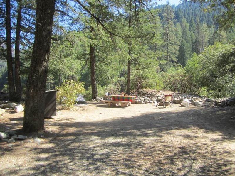
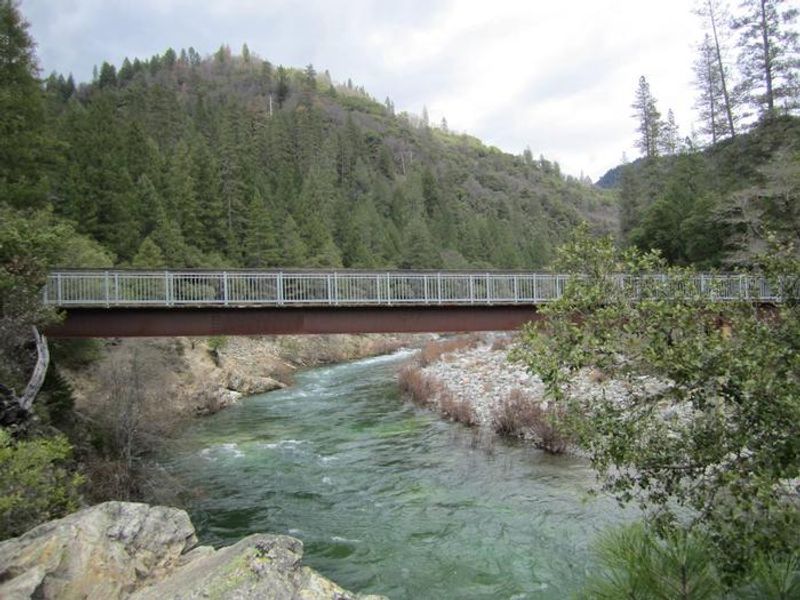
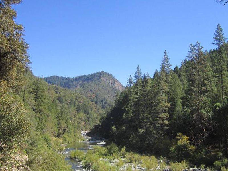
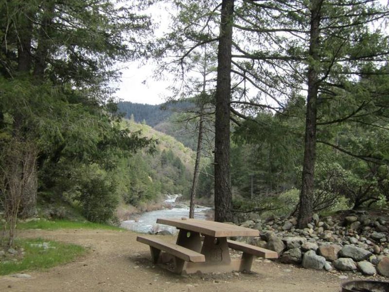
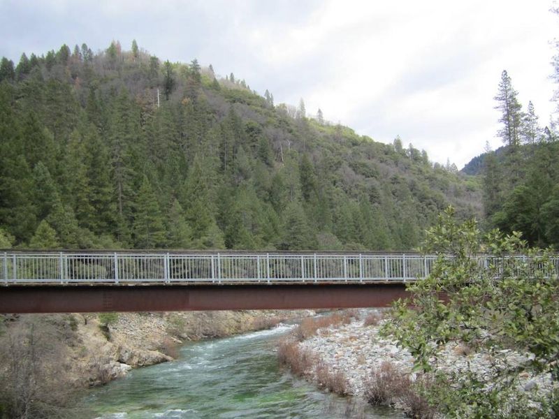
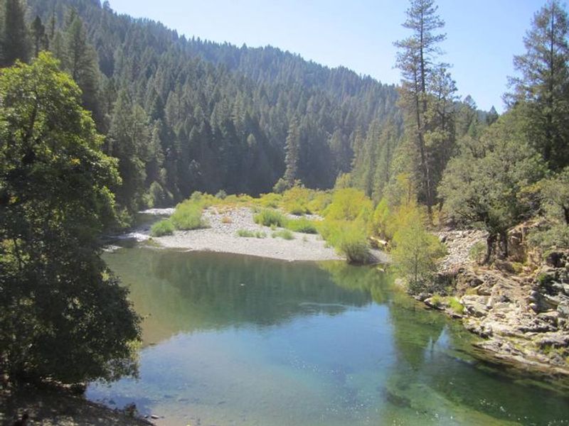
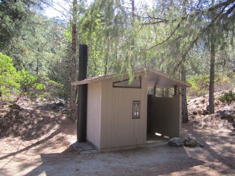
Rocky Rest Campground is a compact, forested campground perched above the North Yuba River along Highway 49, roughly 10 miles northeast of Camptonville in Sierra County. The 10 single-family sites are shaded by Douglas fir, pine, and oak, though privacy between sites is limited. Each site includes a picnic table and fire ring, with vault toilets available. The campground sits in the heart of gold rush country along the Yuba Donner Scenic Byway, near historic mining towns like Downieville and Goodyears Bar. A scenic bridge crosses the Yuba River, and a rocky beach provides access to a popular swimming hole. The North Yuba Trailhead, located within the campground, offers 7.5 miles of hiking and biking. The North Yuba River draws swimmers, tubers, kayakers, and anglers pursuing rainbow trout. The surrounding area supports hunting, gold panning, and access to extensive singletrack networks for mountain biking and motorcycles. New Bullards Bar Reservoir and Indian Valley Outpost are nearby.
Directions
From Camptonville, drive 10 miles northeast on Highway 49. From Downieville, take Highway 49 south for about 11 miles. The campground is on the left (north) side of the highway.
Location
Amenities
| Water | No |
| Fires Allowed | Yes |
| Toilets | Yes |
| Dump Station | No |
| Wifi | No |
| Pets Allowed | Yes |
| Showers | No |
| Electric Hookups | — |
| Water Hookups | — |
| Sewer Hookups | — |
| Camp Store | No |
| Price | $24 |
Vehicle
| Max RV Length | — |
| Max Trailer Length | — |
| Big Rig Friendly | No |
| Pull Through Sites | No |
Contact
| Phone | +1 (530) 478-6253 |
Cell Service
| AT&T | None |
| Verizon | None |
| T-Mobile | None |
Availability
Photos
Community Posts
No posts yet. Be the first to share your experience!