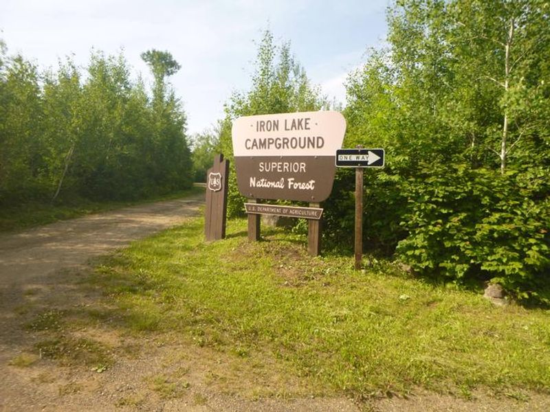
Iron Lake
Currently closed for the season. Opens May 8, 2026 and operates through October 4. Five sites are reservable through Recreation.gov; two sites are first-come, first-served. Quiet hours are 10:00 p.m. to 6:00 a.m.
About
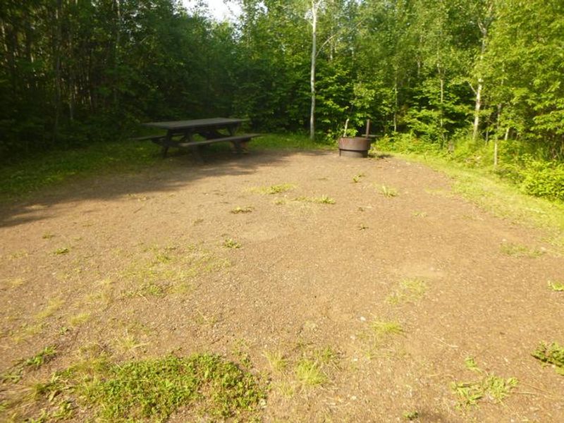
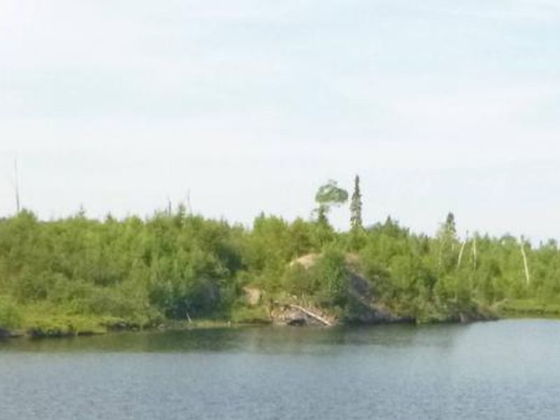
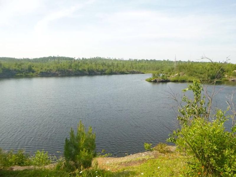
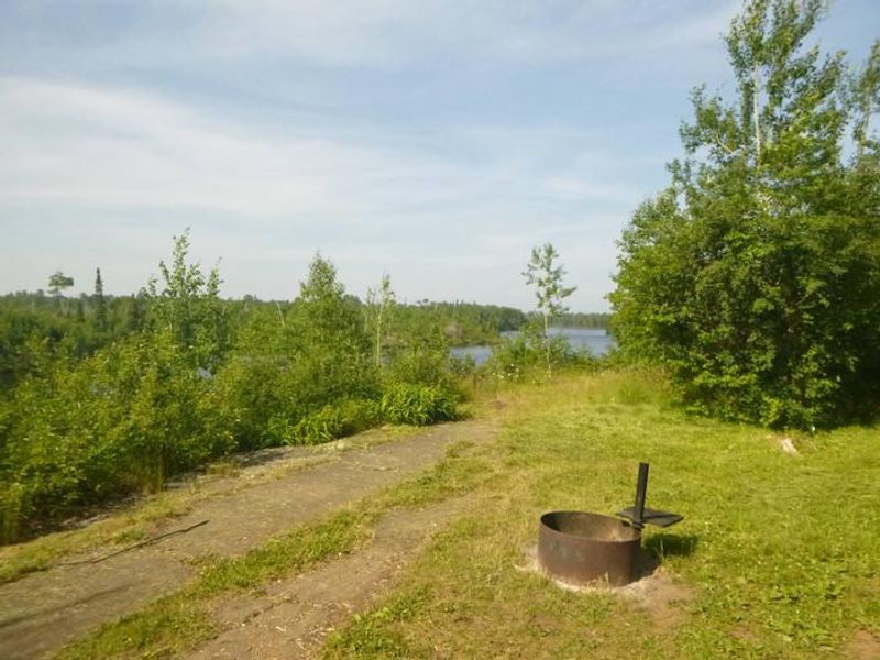
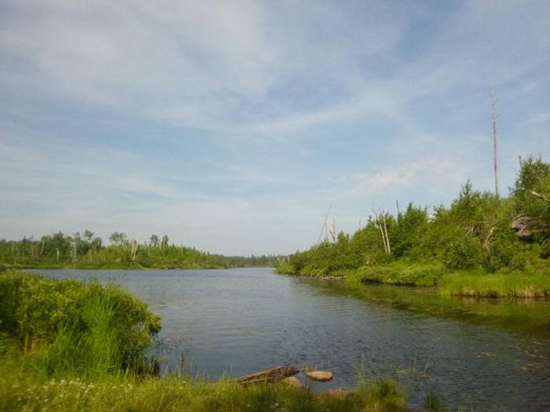
Iron Lake Campground is located in Superior National Forest along the banks of Iron Lake in far northern Minnesota. This small, remote campground features seven sites organized in a single loop near the water. The area burned in the 2007 Ham Lake Fire, and visitors can observe the forest's recovery while watching for wildlife including moose, bears, loons, and uncommon black-backed woodpeckers. Blueberries grow abundantly and can be picked in mid to late summer. Fishing and canoeing are the primary draws here. The lake holds walleye and northern pike, and provides paddling access to the Boundary Waters Canoe Area Wilderness. Canoes, kayaks, and small boats must be carried down to access the lake. Visitors entering the BWCAW need a permit and must follow wilderness regulations including group size limits. The campground offers vault toilets, potable water from a solar-powered faucet, fire rings, tent pads, and trash containers. There are no hookups, showers, or dump stations. Five sites are reservable through Recreation.gov while two are first-come, first-served. Bears are active in the area, so all food must be stored in approved containers or locked in a hard-sided vehicle.
Directions
From Grand Marais, Minnesota, take Gunflint Trail (County Road 12) 36 miles north, turn left on County Road 92 and travel 2 miles on a narrow gravel road to Iron Lake Campground.
Amenities
| Water | Yes |
| Fires Allowed | Yes |
| Toilets | Yes |
| Dump Station | No |
| Wifi | No |
| Pets Allowed | Yes |
| Showers | No |
| Electric Hookups | — |
| Water Hookups | — |
| Sewer Hookups | — |
| Camp Store | No |
| Price | $24 |
Vehicle
| Max RV Length | 40ft |
| Max Trailer Length | 40ft |
| Big Rig Friendly | No |
| Pull Through Sites | No |
Contact
| Phone | +1 (218) 388-2212 |
Cell Service
| AT&T | None |
| Verizon | None |
| T-Mobile | None |
Availability
Photos
Community Posts
No posts yet. Be the first to share your experience!