Pipi Campground
Closed for the season. Potential opening date is May 22, 2026. Season runs May through October. Reservations available via Recreation.gov up to 6 months in advance.
National Forest System Roads
Follow California Vehicle Code on National Forest System Roads
Fireworks and Explosives are always Prohibited
Fireworks and explosives (including explosive targets) are always prohibited on national forest lands. The prohibition of fireworks and exploding targets on national forest system lands is part of a set of permanent fire safety regulations in the Code of Federal Regulations (CFR), listed below.…
Fire Restrictions are in Effect Forest Wide
Fire Restrictions are in effect forest wide. No campfires except in existing stoves, charcoal grills, or fire rings provided in the Recreation Sites listed in Exhibit A in the Forest Order and actively serviced by a camp host.No charcoal firesCamp stoves, lanterns and propane fire rings are…
About
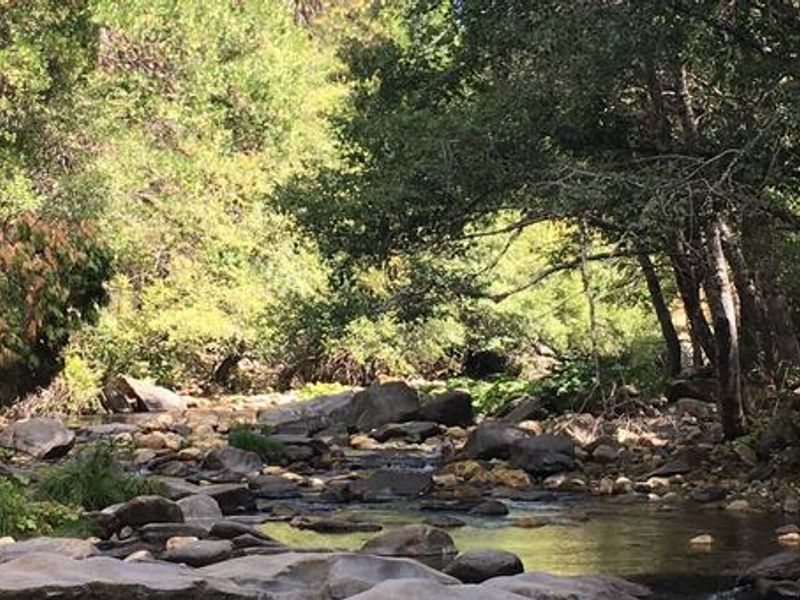
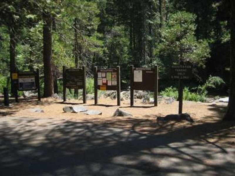
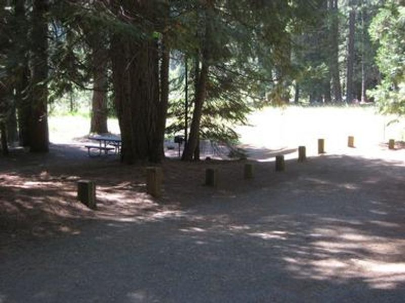
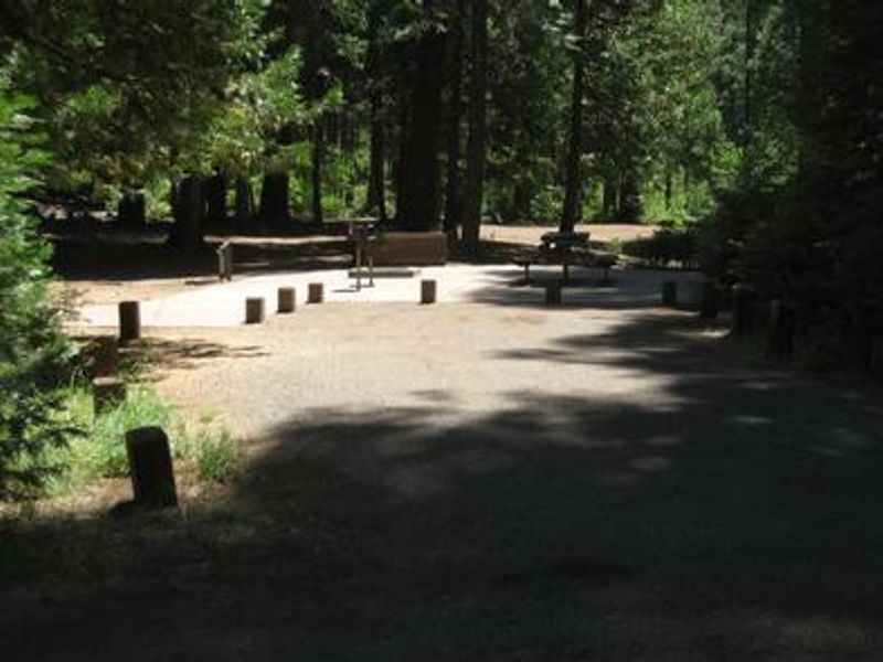
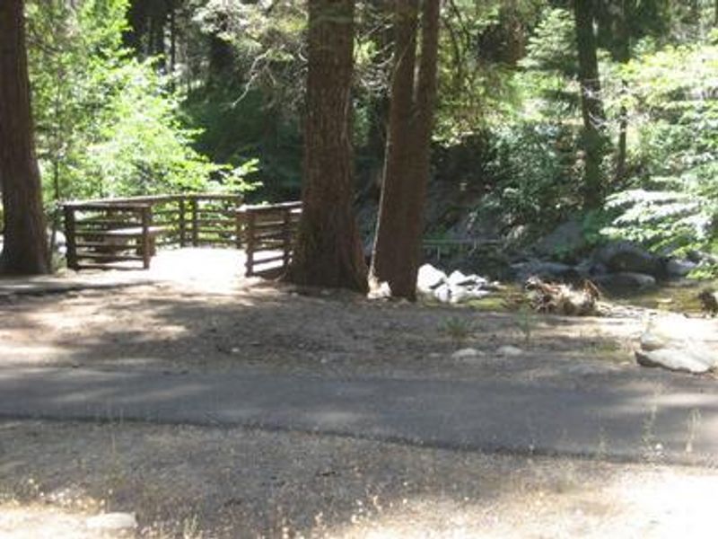
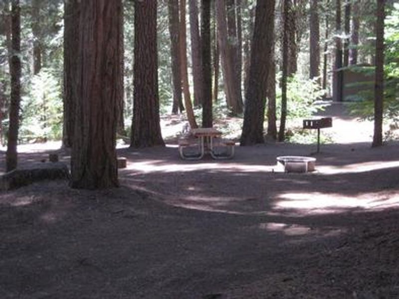
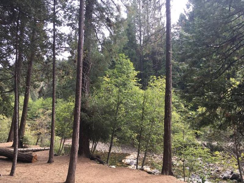
Pipi Campground sits at 4,100 feet elevation in the Eldorado National Forest, offering 51 campsites across three loops along the Middle Fork of the Cosumnes River. The area is shaded by a dense mixture of conifers including cedar and fir trees, typical of the central Sierra Nevada. The campground accommodates both tent and RV camping, with single, double, and triple sites available. Rainbow trout are regularly stocked in the river, making it a popular fishing destination. A paved river walkway meanders along the water for just under a mile, providing wheelchair-accessible fishing from designated piers. Swimming opportunities are available along the river, and a day-use picnic area with 8 sites sits near the campground. Historically, the native Miwok people camped in this region during summertime. Today the campground operates seasonally from May through October. Bear activity is common in the area, and all food, toiletries, and garbage must be stored in the provided bear boxes. Campfire restrictions may apply seasonally depending on fire conditions.
Directions
From Jackson, head east on Highway 88 for 26 miles to Omo Ranch Road. Turn left (north) on Omo Ranch Road and follow for 0.8 miles to North South Road. Turn right on North South Road and continue for about 6 miles to the campground.
Amenities
| Water | Yes |
| Fires Allowed | Yes |
| Toilets | Yes |
| Dump Station | No |
| Wifi | — |
| Pets Allowed | Yes |
| Showers | No |
| Electric Hookups | — |
| Water Hookups | — |
| Sewer Hookups | — |
| Camp Store | — |
| Price | $36 - $72 |
Vehicle
| Max RV Length | 35ft |
| Max Trailer Length | 35ft |
| Big Rig Friendly | — |
| Pull Through Sites | No |
Contact
| Phone | +1 (209) 259-3774 |
Cell Service
| AT&T | None |
| Verizon | None |
| T-Mobile | None |
Availability
Photos

Community Posts
No posts yet. Be the first to share your experience!