Chris Park
Open for the 2026 season. The campground operates May through September. Reservations are made through Recreation.gov. Check-in is 2:00 PM; check-out is 12:00 PM.
Flood Watch issued September 29 at 11:22AM MDT until October 1 at 6:00AM MDT by NWS Grand Junction CO
* WHAT...Flooding caused by excessive rainfall continues to be possible. * WHERE...A portion of southwest Colorado, including the following areas, Northwest San Juan Mountains, San Juan River Basin and Southwest San Juan Mountains. * WHEN...Through late Wednesday night. * IMPACTS...Flooding will be possible over burn scars, at low-water crossings, and along creeks, streams, washes, arroyos and other flood-prone locations. Creeks and streams may rise out of their banks. Unpaved roads could become muddy and impassable. * ADDITIONAL DETAILS... - Periods of heavy rainfall, associated with remnant moisture from Hurricane Polo, are expected to produce numerous showers and embedded thunderstorms. Heavy rain falling on saturated soils and burn scars could lead to localized flash flooding and rises on local rivers. Rainfall is expected to end by late Wednesday, but rivers may rise out of their banks overnight Wednesday even after rainfall has ended. - http://www.weather.gov/safety/flood
Hydrologic Outlook issued September 25 at 2:21PM MDT by NWS Grand Junction CO
ESFGJT In the wake of today's precipitation, our attention will turn to the Eastern Pacific. Tropical moisture is anticipated to spread across the Desert Southwest early next week, drawing moisture from a pair of Hurricanes; Odalys and Polo. The forecast becomes increasing complex due to a closed low currently forecast to drive across the Southwest CONUS as Hurricane Polo approaches the Baja California Peninsula. Strong southerly winds ahead of the low are expected to pull tropical moisture towards eastern Utah and western Colorado as early as Monday morning. The challenge and uncertainty in our precipitation forecast increase as the week progresses and the low traverses our southern States. Excessive rainfall is most probable over AZ and NM, attm, but the northerly extent poses a threat to our southern San Juan river basins. Current forecasts suggests 1 to 3 inches of rain over Monday morning through Wednesday. At face value, rivers and tributaries will see a bump up due to said moisture. However, localized heavier amounts could result in minor flooding across the southern San Juan foothills and communities further downstream. Rivers have responded rapidly to recent rainfall due to saturated soils and increased runoff potential. Thus, prolonged periods of additional rainfall over these regions would trigger a similar response. The current precipitation forecast suggests larger peaks in several creeks and rivers than what has been observed over the previous 7 days. However, high end probabilistic rainfall amounts (i.e. above 90th percentile) may lead to rivers exceeding action stage to minor flooding. Most probable basins to see significant rises include; the Rio Blanco, San Juan, Piedra, Los Pinos/Vallecito Creek, and the Animas River Basins. Convective storms and periods of heavy rainfall fed from said tropical moisture could result in localized flooding impacts across the CWA, however, confidence decreases rapidly north of the San Juans. Please continue to monitor the forecast as these systems evolve. Especially for those who reside and/or plan to recreate in the southwest quadrant of the forecast area.
Wheeled Vehicles in Wilderness
This order describes the prohibition of wheeled vehicles in all National Forest Wilderness Areas of the Rocky Mountain Region and any exceptions thereof.
About
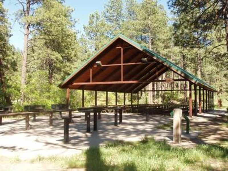
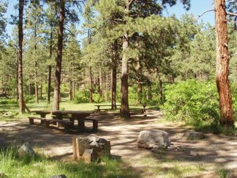
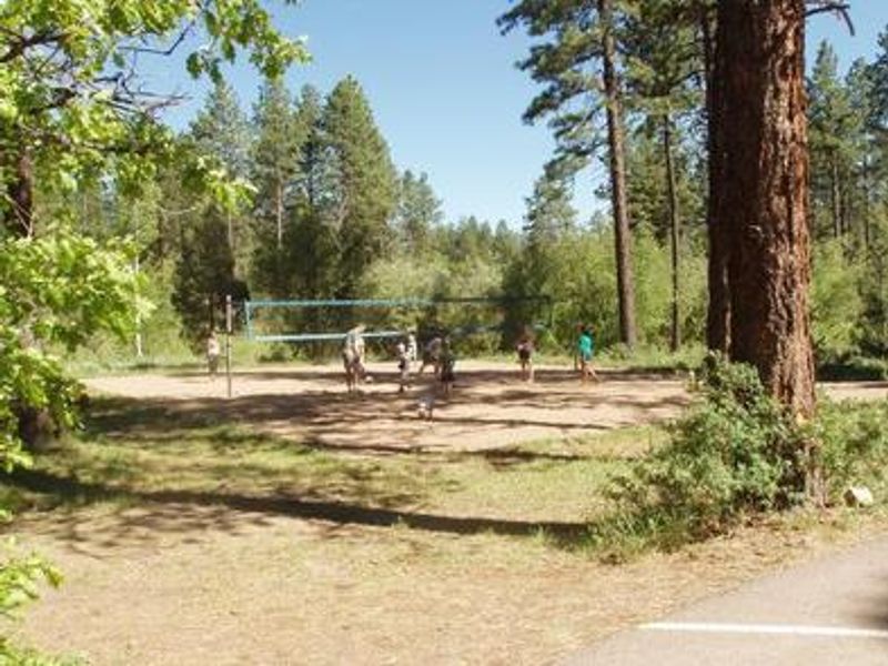
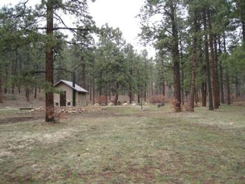
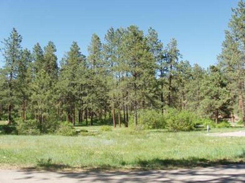
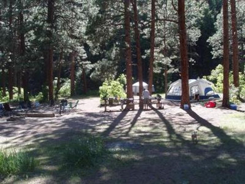
Chris Park Group Campground sits in a mostly flat, open area shaded by scattered ponderosa pines in the San Juan National Forest. Located just one mile south of Haviland Lake, the campground offers easy access to the 80-acre no-wake lake for boating, canoeing, and fishing. Accessible fishing docks are available at the lakeshore. The campground has three group sites designed for large gatherings. Sites 1 and 2 each accommodate up to 75 people with grassy tent areas, fire pits, bear boxes, and pull-through driveways for vehicles up to 40 feet. Site 3 is the largest, handling up to 150 people with a covered pavilion featuring a food prep area, four large grills, 23 picnic tables, a volleyball area, and optional electrical hookups at 15/30/50 amp pedestals. Several trailheads are nearby, including Forebay, Goulding, Elbert Creek, and Purgatory Flats. The historic Rico-to-Rockwood Wagon Road, built in the late 1800s, passes through Chris Park.
Directions
From Durango, travel north on Highway 550 for about 18 miles. Turn right at the Haviland Lake sign, continue for a half-mile, then turn right at the intersection onto Chris Park Road and follow for approximately 1 mile.
Amenities
| Water | Yes |
| Fires Allowed | Yes |
| Toilets | Yes |
| Dump Station | No |
| Wifi | No |
| Pets Allowed | Yes |
| Showers | No |
| Electric Hookups | Yes |
| Water Hookups | No |
| Sewer Hookups | No |
| Camp Store | — |
| Price | $140 - $280 |
Vehicle
| Max RV Length | 40ft |
| Max Trailer Length | 40ft |
| Big Rig Friendly | No |
| Pull Through Sites | No |
Contact
| mandy@rockymountainrec.com | |
| Phone | +1 (970) 884-2512 |
Cell Service
| AT&T | Yes |
| Verizon | Yes |
| T-Mobile | None |
Availability
Photos
Community Posts
No posts yet. Be the first to share your experience!