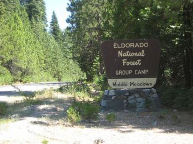
Middle Meadows
Currently closed for the season. Opens May 21, 2026 and operates through mid-October. No potable water is available due to contamination; campers must bring their own drinking water. Portable toilets are provided. Fees are reduced 50% to compensate for the water outage. Reservations through Recreation.gov.
From Recreation.gov
Water Outage: No drinking water or flush toilets are available at this campground. Portable toilets are available but campers must supply all drinking water. Please plan accordingly.
National Forest System Roads
Follow California Vehicle Code on National Forest System Roads
Fireworks and Explosives are always Prohibited
Fireworks and explosives (including explosive targets) are always prohibited on national forest lands. The prohibition of fireworks and exploding targets on national forest system lands is part of a set of permanent fire safety regulations in the Code of Federal Regulations (CFR), listed below.…
About
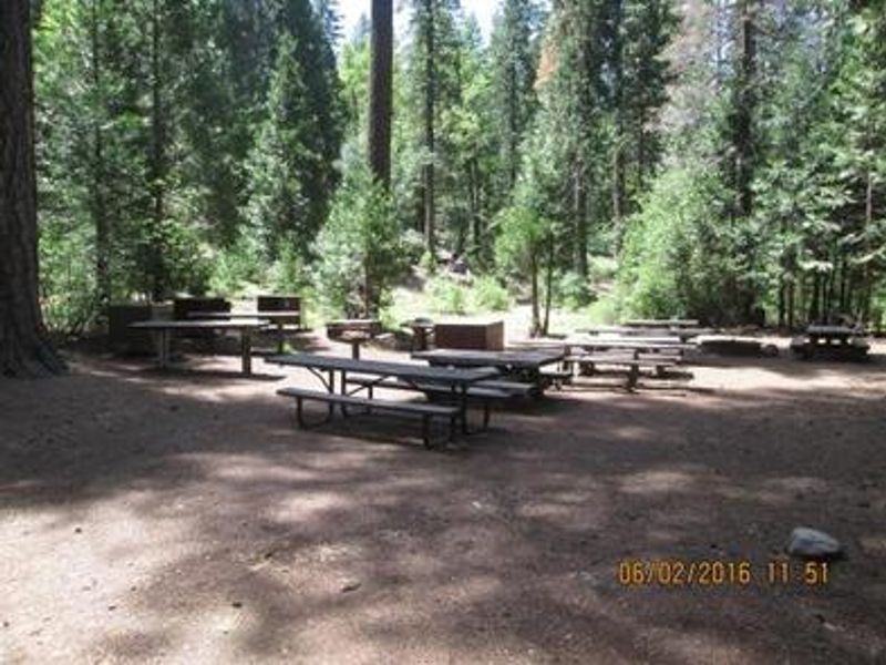
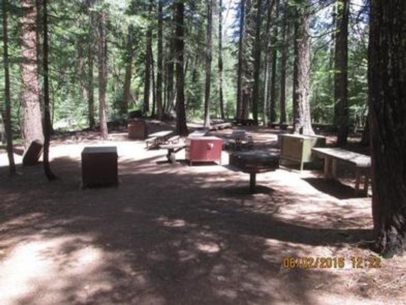
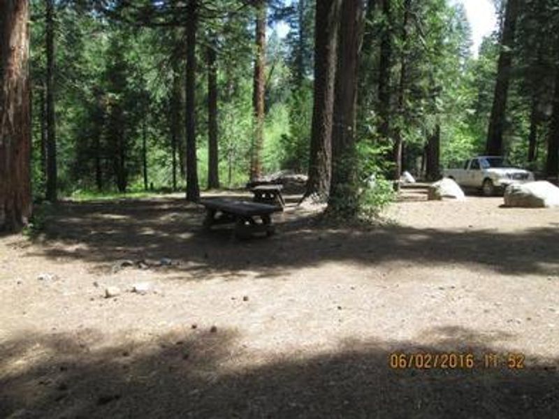
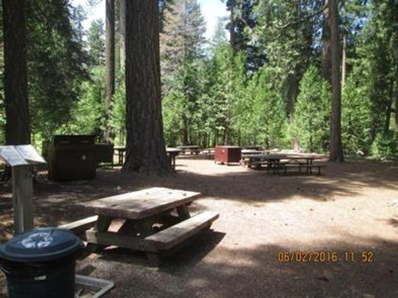
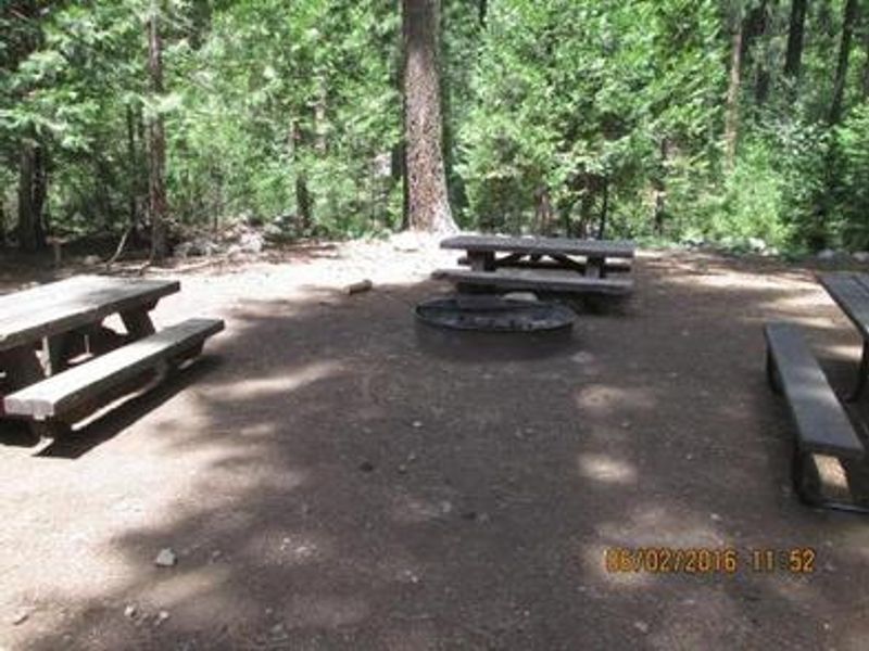
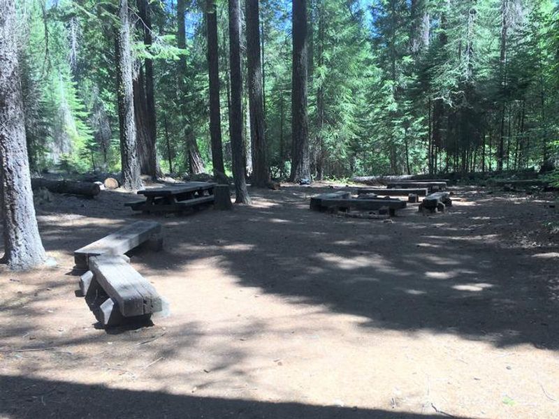
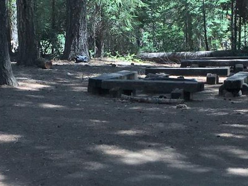
Middle Meadows Group Campground offers a quiet, isolated camping experience in the heart of Eldorado National Forest. Located along the South Fork of Long Canyon Creek in a heavily wooded setting of cedar, pine, and fir trees, the campground provides two group sites accessible via a short walk from the parking area. Unit 1 accommodates up to 50 people while Unit 2 handles groups of up to 25. Each site is equipped with picnic tables, campfire circles, grills, and bear-proof food storage containers. The campground is positioned near Hell Hole Reservoir, which offers boating (with a boat ramp) and fishing opportunities less than 5 miles away. A swimming hole is located about 0.25 miles west of the campground. Long Canyon Creek adjacent to the campground provides additional fishing and wading opportunities. Reservations are made through Recreation.gov and can be booked 4 days to 12 months in advance. Due to the remote location and walk-in nature of the sites, this campground is best suited for tent camping groups rather than RVs, though vehicles up to 25 feet can access the parking area.
Directions
From Sacramento, take Interstate 80 east to Auburn. Take the Elm Street exit and turn left at the stoplight. Follow Highway 49 down the canyon, across the American River, to Cool. Turn onto Highway 193 towards Georgetown. Turn left at the stop sign, then continue 22 miles to 11 Pines Road. Make a left and stay on Forest Highway 2 for about 25 miles to the campground.
Amenities
| Water | No |
| Fires Allowed | Yes |
| Toilets | Yes |
| Dump Station | No |
| Wifi | No |
| Pets Allowed | Yes |
| Showers | No |
| Electric Hookups | — |
| Water Hookups | — |
| Sewer Hookups | — |
| Camp Store | No |
| Price | $25 |
Vehicle
| Max RV Length | 25ft |
| Max Trailer Length | 25ft |
| Big Rig Friendly | No |
| Pull Through Sites | No |
Contact
| Phone | +1 (530) 333-4312 |
Cell Service
| AT&T | None |
| Verizon | None |
| T-Mobile | None |
Availability
Photos
Community Posts
No posts yet. Be the first to share your experience!