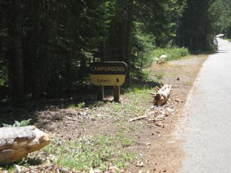
Lewis
The campground is currently open. Due to a temporary water system disruption, there is no potable water available. Campers must bring their own drinking water or fill jugs at nearby French Meadows Campground. Operating season runs June through September.
From Recreation.gov
Due to a temporary disruption with our water system the campground currently has no potable water, but the water system should be operational soon. You will need to bring your own water or you may fill water jugs in the French Meadows Campground.
From Recreation.gov
Due to a temporary disruption with our water system the campground currently has no potable water, but the water system should be operational soon. You will need to bring your own drinking water. We apologize for any inconvenience.
National Forest System Roads
Follow California Vehicle Code on National Forest System Roads
About
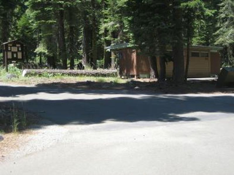
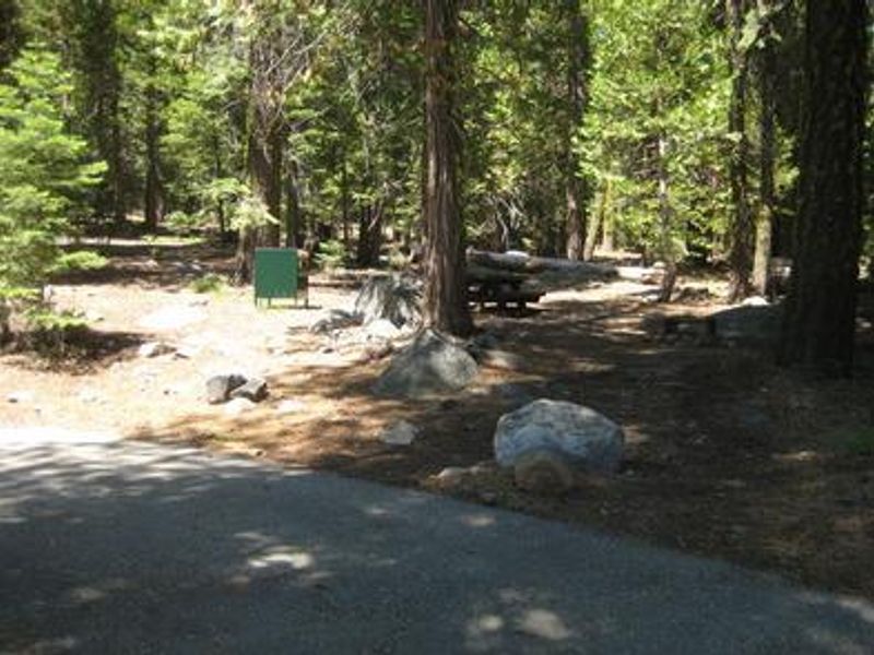
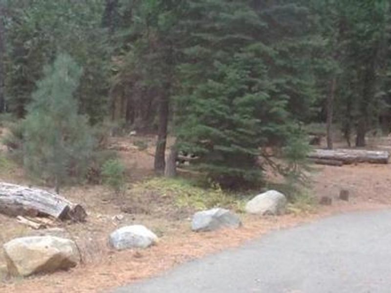
Lewis Campground occupies a scenic position on the north shore of French Meadows Reservoir, surrounded by coniferous forest at 5,300 feet in Tahoe National Forest. The campground serves as a western gateway to the Granite Chief Wilderness and offers 40 campsites split between East and West loops. Each site includes a picnic table and grill, with flush toilets and bear-proof food storage boxes provided throughout. The reservoir supports diverse water recreation including motorized boating, waterskiing, fishing, and swimming. McGuire boat ramp is located within a mile of the campground. The Middle Fork American River is accessible nearby for additional fishing opportunities. Hikers and mountain bikers can access the Western States Trail, Tevis Cup Trail, and routes into the Granite Chief Wilderness from nearby trailheads. This is an extremely remote campground with no services available. There is no cell phone service in the area. Large single-unit RVs are not suitable for the campground roads, as tight turns prevent longer vehicles from navigating even though some sites have 40-foot parking spurs.
Directions
From Foresthill, travel 36 miles east on Mosquito Ridge Road (Forest Road 96) to the campground on the north shore of French Meadows Reservoir. High clearance vehicles may also access via Foresthill Road to Forest Road 43 (Robinson Flat Road) to Mosquito Ridge Road, snow permitting. The route from Soda Springs via FR 43 is not recommended for trailers, motorhomes, or non-4WD passenger vehicles.
Amenities
| Water | No |
| Fires Allowed | Yes |
| Toilets | Yes |
| Dump Station | Yes |
| Wifi | No |
| Pets Allowed | — |
| Showers | No |
| Electric Hookups | — |
| Water Hookups | — |
| Sewer Hookups | — |
| Camp Store | No |
| Price | $20 |
Vehicle
| Max RV Length | 50ft |
| Max Trailer Length | — |
| Big Rig Friendly | No |
| Pull Through Sites | No |
Contact
| Phone | +1 (530) 367-2224 |
Cell Service
| AT&T | None |
| Verizon | None |
| T-Mobile | None |
Availability
Photos


Community Posts
No posts yet. Be the first to share your experience!