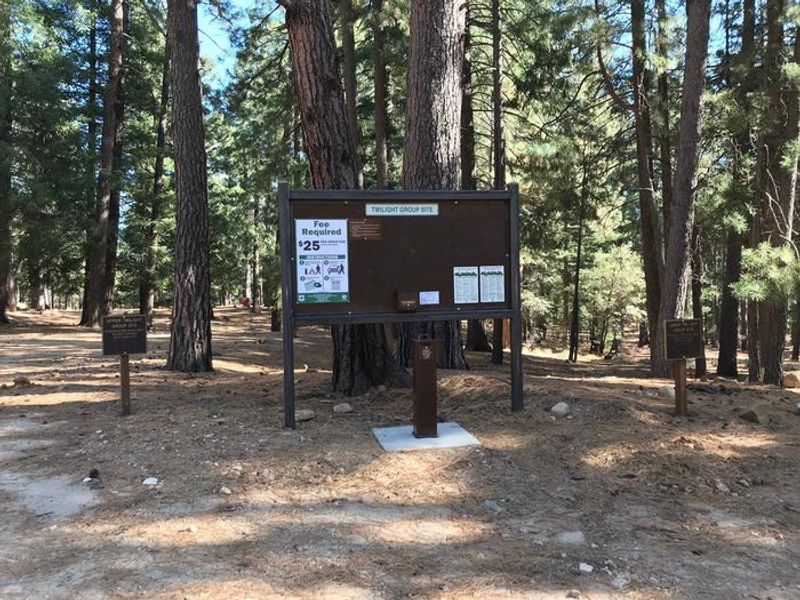
Lower Twilight Group Site
Open year-round with reservations available through Recreation.gov. Season dates may vary depending on weather and fire conditions. Check-in is 2:00 p.m. and check-out is noon. This is bear country; all food must be stored in bear-proof containers or locked vehicles.
Border Barrier Construction Closure
Going into or being upon the Described Area.
John Long Canyon Road Closure Order
Prohibits the use of any motorized vehicle on the Described Road.
About
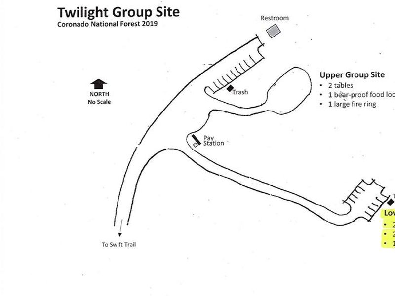
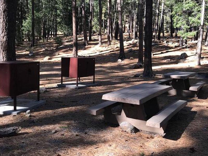
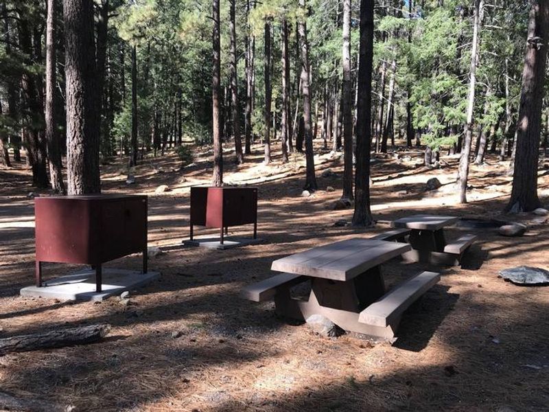
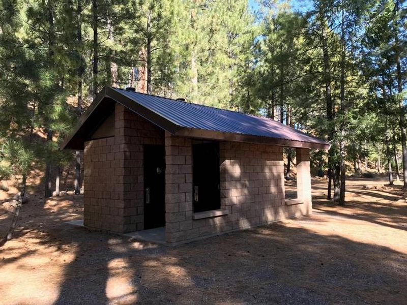
Lower Twilight Group Site sits at 7,400 feet in the Pinaleño Mountains of Coronado National Forest, providing groups a shaded retreat from the intense heat of Arizona's lower deserts. The campground lies along the Swift Trail Scenic Drive (State Route 366), which climbs from the Sonoran Desert floor to alpine meadows above 9,000 feet, making the area exceptional for birding and wildlife observation. The site accommodates a single group of up to 50 people with parking for up to 6 vehicles. Amenities include picnic tables, campfire rings with grills, and bear-proof food lockers and trash receptacles. Vault toilets are located at the adjacent Upper Twilight Group Site, a short walk away. No potable water is provided, so campers must bring their own supply. Groups exceeding 30 people must provide one portable toilet per 15 people. The Swift Trail provides access to hiking, horseback riding, and mountain biking trails. Nearby attractions include Riggs Lake (stocked with trout), the Columbine Visitors Center, and the Mount Graham Wilderness Study Area featuring the 10,720-foot Mount Graham. Vehicles longer than 22 feet total are not recommended due to difficult switchbacks on AZ 366.
Directions
From Safford, Arizona: Take State Route 191 south for 6 miles. Turn right onto State Route 366/Swift Trail and travel 14.5 miles to the Twilight Campground entrance (MM 128.4), then follow the road for 1 mile to Lower Twilight Group Site. From Tucson: Take I-10 East for 90 miles, exit 352 for State Route 191, turn left toward Safford, drive 26.3 miles north and turn left on State Route 366/Swift Trail, continue 14.5 miles to the entrance.
Location
Amenities
| Water | No |
| Fires Allowed | Yes |
| Toilets | Yes |
| Dump Station | No |
| Wifi | — |
| Pets Allowed | Yes |
| Showers | No |
| Electric Hookups | — |
| Water Hookups | — |
| Sewer Hookups | — |
| Camp Store | — |
| Price | $25 |
Vehicle
| Max RV Length | 40ft |
| Max Trailer Length | 22ft |
| Big Rig Friendly | No |
| Pull Through Sites | No |
Contact
| Phone | +1 (928) 428-4150 |
Cell Service
| AT&T | Yes |
| Verizon | Yes |
| T-Mobile | Yes |
Availability
Photos
Community Posts
No posts yet. Be the first to share your experience!