Cedar Creek
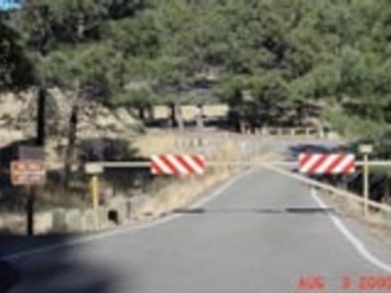
Currently closed due to wildfire damage from the South Fork Fire. No reopening date has been announced. Contact the Smokey Bear Ranger District for updates.
Cannabis Possession Prohibited
Order 03-00-00-21-002 prohibits possessing, storing, or transporting a cannabis plant, any part of a cannabis plant, or any substance derived from a cannabis plant within the Southwestern Region National Forests in the State of New Mexico and the National Grasslands in the states of Texas and…
Current Prescribed Fire Updates
As prescribed fire is implemented on the Lincoln National Forest this alert page will be updated to share current conditions, planned work or postponed burns.16 Springs Crooked Prescribed Pile Burn - 153 acresSeptember 19, 2026 - Press Release for Planned Prescribed Fires on the Lincoln National…
Order# 03-08-02-26-001: 69kV Power Line Maintenance and Hazard Tree Reduction
The purpose of this Order is to protect public health and safety. Work within this corridor during this timeframe will include large machinery and aircraft.
About
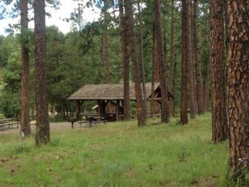
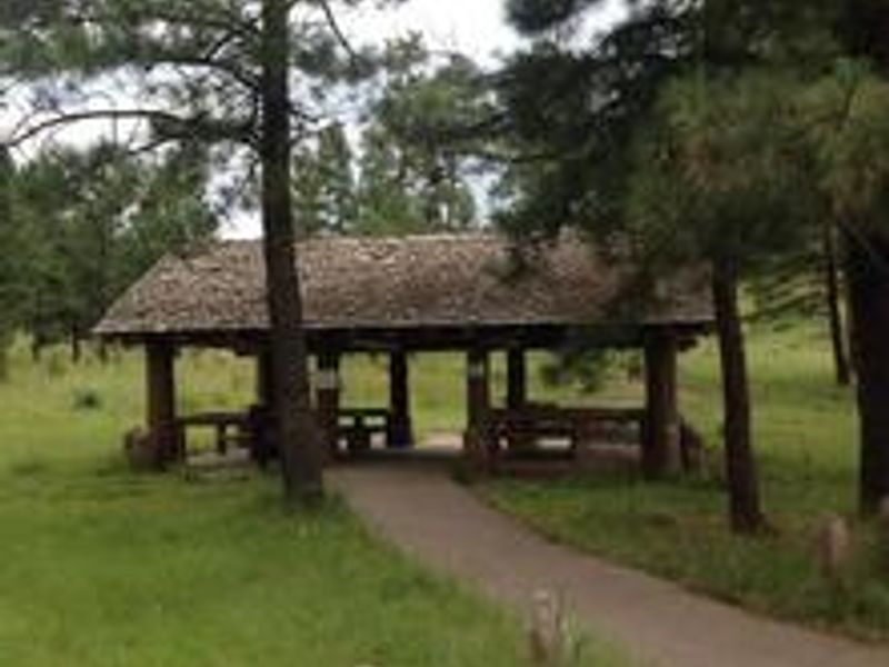
Sam Tobias Memorial Group Campground is located along Cedar Creek at 7,000 feet elevation in Lincoln National Forest, just a half mile west of Ruidoso. Previously known as Cedar Creek Campground, the site was renamed to honor Sam Tobias, a local firefighter who died in the line of duty during the summer of 2000. The campground is designed exclusively for group use, featuring three large campsites with capacities of 60, 80, and 100 people, plus a day-use picnic pavilion accommodating up to 40 guests. Each site includes wheelchair-accessible picnic shelters, campfire rings, grills, and electric hookups. Vault toilets are available throughout the facility. Adjacent to the campground are several multi-use trails popular for hiking and mountain biking. The T90 Fitness Trail extends 1.3 miles with exercise stations, while biking trails T120 A-D and T121 A-B offer additional options. An expert-only downhill mountain bike trail near the water tower ends at the picnic area. Dogs must remain leashed while hiking and are not permitted on the Fitness Trail. Wildlife viewing opportunities include mule deer and elk.
Directions
From Ruidoso on Mechem Drive, take Cedar Creek Road west 0.5 miles. Cedar Creek is the first recreational area located on the right (north).
Amenities
| Water | No |
| Fires Allowed | Yes |
| Toilets | Yes |
| Dump Station | — |
| Wifi | — |
| Pets Allowed | Yes |
| Showers | No |
| Electric Hookups | Yes |
| Water Hookups | No |
| Sewer Hookups | No |
| Camp Store | — |
| Price | $40 - $125 |
Vehicle
| Max RV Length | 35ft |
| Max Trailer Length | 35ft |
| Big Rig Friendly | No |
| Pull Through Sites | No |
Contact
| Phone | +1 (575) 257-4095 |
Cell Service
| AT&T | Yes |
| Verizon | Yes |
| T-Mobile | Yes |
Availability
Photos
Community Posts
No posts yet. Be the first to share your experience!