Open
Open for the season. Operates mid-May through end of September, weather dependent. First-come, first-serve only with payment via Recreation.gov mobile app QR code. Download the app before arrival as cellular service is limited. Stay limit is 14 days.
About
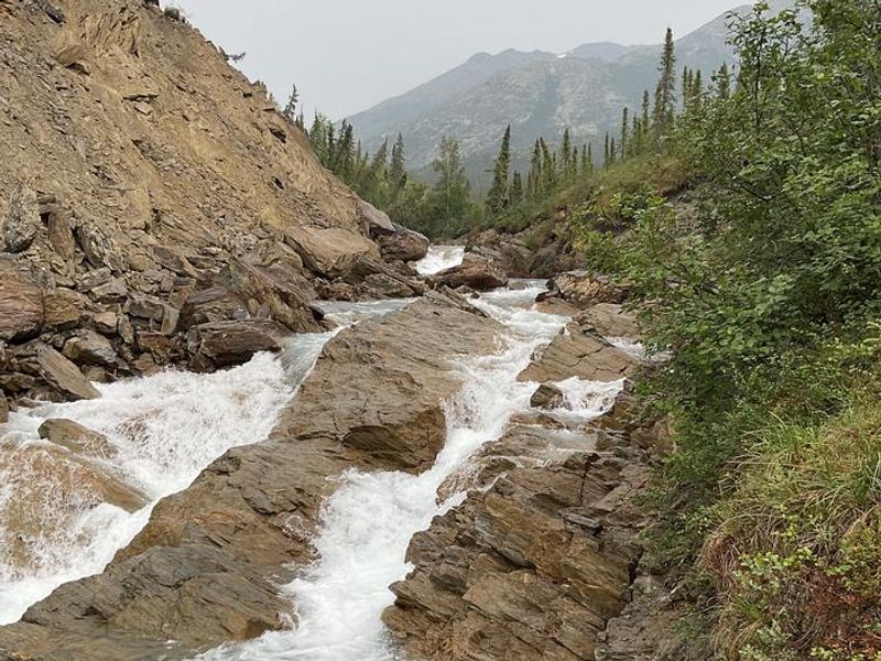
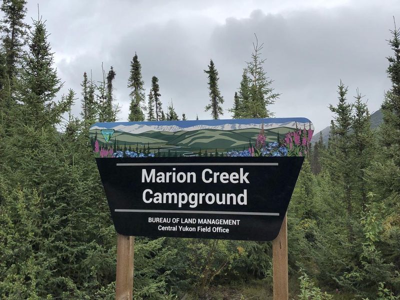
Marion Creek Campground is nestled in a spruce forest on the south side of the Brooks Range, offering wide views of Arctic peaks and easy access to Marion Creek Falls via a short trail. Located at milepost 180 of the Dalton Highway, just 5 miles north of Coldfoot, this BLM campground serves as an ideal basecamp for exploring Alaska's vast Arctic wilderness.
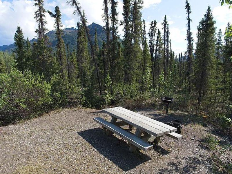
The campground features 27 sites on gravel surfaces, including 14 pull-through sites suitable for RVs and one ADA-accessible site. Each site includes a fire ring and picnic table. Amenities include potable water, vault toilets, trash receptacles, and firewood. A camp host is present during the season. Campers experience 24-hour daylight around the summer solstice, and late August through September offers aurora viewing opportunities and vibrant fall colors.
The Brooks Range provides excellent recreation including hiking into the mountains, gold panning on designated streams, river trips on the Middle Fork Koyukuk, wildlife viewing (moose, grizzly and black bears, wolves, Dall's sheep), and birding. The Arctic Interagency Visitor Center in Coldfoot offers interpretive programs and detailed recreation information.
Directions
Located at mile 180 of the Dalton Highway, 5 miles north of Coldfoot on the east side of the highway.