Alexander Springs Recreation Area
The campground is open and accepting reservations. The Ocala National Forest is under stage 1 fire restrictions; campfires are allowed only in Forest Service-provided fire rings at developed sites. The boardwalk remains closed due to hurricane damage. Vehicle access reservations are required on Saturdays, Sundays, and holidays from Memorial Day through Labor Day. Maximum stay is 14 consecutive days per 30-day period.
Flood Warning issued November 10 at 9:29AM EST by NWS Melbourne FL
...The Flood Warning continues for the following rivers in Florida... St Johns River Near Astor affecting Volusia and Lake Counties. .Heavy rainfall that has occurred upstream has resulted in river levels just below Moderate flood stage. River levels are expected to remain steady near Moderate Flood stage through this week and into the weekend as a large volume of water works north through the basin. For the St. Johns River...including Astor...Moderate flooding is forecast. * WHAT...Minor flooding is occurring and moderate flooding is forecast. * WHERE...St Johns River near Astor. * WHEN...Until further notice. * IMPACTS...At 2.8 feet, Docks and boat ramps covered at South Moon Fish Camp and approaching sea wall at Blair's Jungle Den. Water approaching sites closest to the river at Fish Tales RV Resort and Astor Landing Campground. Portion of Clair Street covered by river water south of the Butler Boat Ramp. Docks underwater at the Astor Bridge Marina and along Riveredge Drive. Portions of Fox Road are covered with water nearest to the river. Acorn, Hazelnut and Redbud roads are underwater with yards inundated. At 3.0 feet, Water approaches or may enter lowest homes on or near Wildhog Road and nearby canals. Flooding reaches the parking lot of the Juno Trail Apartments. Flooding on portions of Alligator Road and Holiday Road. Lowest lying yards along Blue Creek are flooded. Roads at Astor Landing Campground and Lake Dexter Boat Ramp begin to flood. Water enters lower homes closest to the river on McPherson Lane. * ADDITIONAL DETAILS... - At 8:30 AM EST Tuesday the stage was 2.8 feet. - Bankfull stage is 2.0 feet. - Recent Activity...The maximum river stage in the 24 hours ending at 8:30 AM EST Tuesday was 2.9 feet. - Forecast...The river is expected to rise slightly to 3 feet late this week. Additional rises are possible thereafter. - Flood stage is 2.3 feet. - http://www.weather.gov/safety/flood
Flood Warning issued November 10 at 9:26AM EST by NWS Melbourne FL
...The Flood Warning continues for the following rivers in Florida... St Johns River Near Deland affecting Volusia and Lake Counties. .Heavy rainfall has caused the St. Johns River near Deland to remain just below Minor flood stage. The river is forecast to slowly climb into Minor flood stage later this week. For the St. Johns River...including Deland...Minor flooding is forecast. * WHAT...Minor flooding is forecast. * WHERE...St Johns River near Deland. * WHEN...Until further notice. * IMPACTS...At 4.0 feet, Docks and piers are completely submerged at Pier 44 Marina. Many docks are partially submerged at Hontoon Landing Marina. * ADDITIONAL DETAILS... - At 8:30 AM EST Tuesday the stage was 3.9 feet. - Bankfull stage is 3.5 feet. - Forecast...The river is expected to rise above flood stage early Friday morning and continue rising to 4.0 feet early Friday morning. - Flood stage is 4.0 feet. - http://www.weather.gov/safety/flood
From Recreation.gov
The Ocala National Forest is currently under stage 1 fire restrictions. Exemptions include developed campsites with Forest Service provided campfire rings and grills. Dispersed campers who wish to have fires must use propane; charcoal is authorized for grilling purposes. All residents must conform to the specifics of their county's burn bans. The USFS conforms to and may enforce county burn bans as authorized under; CFR 261.5 (i) Violating any state law concerning burning fires or any state law that is for the purpose of preventing or restricting the spread of fire. USFS law enforcement can issue citations under this code.
About
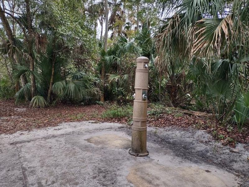
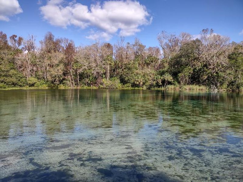
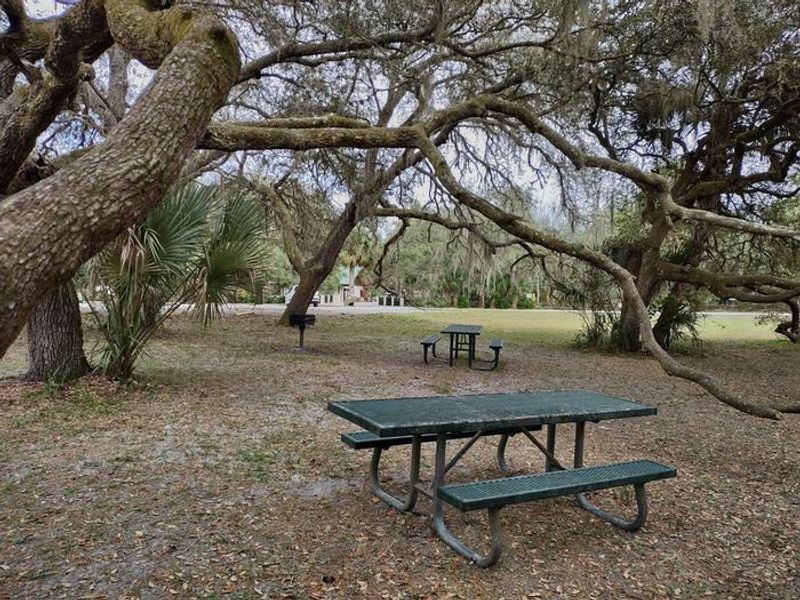
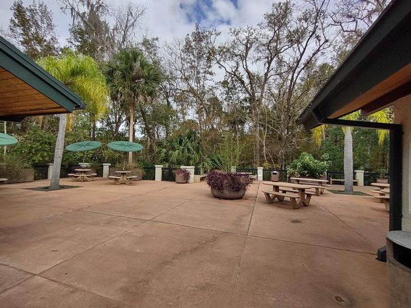
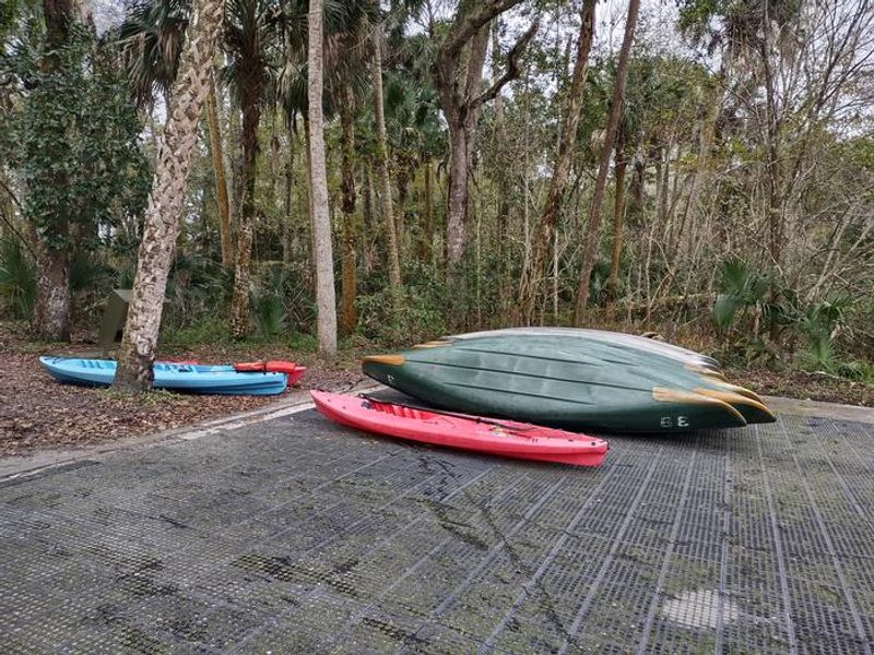
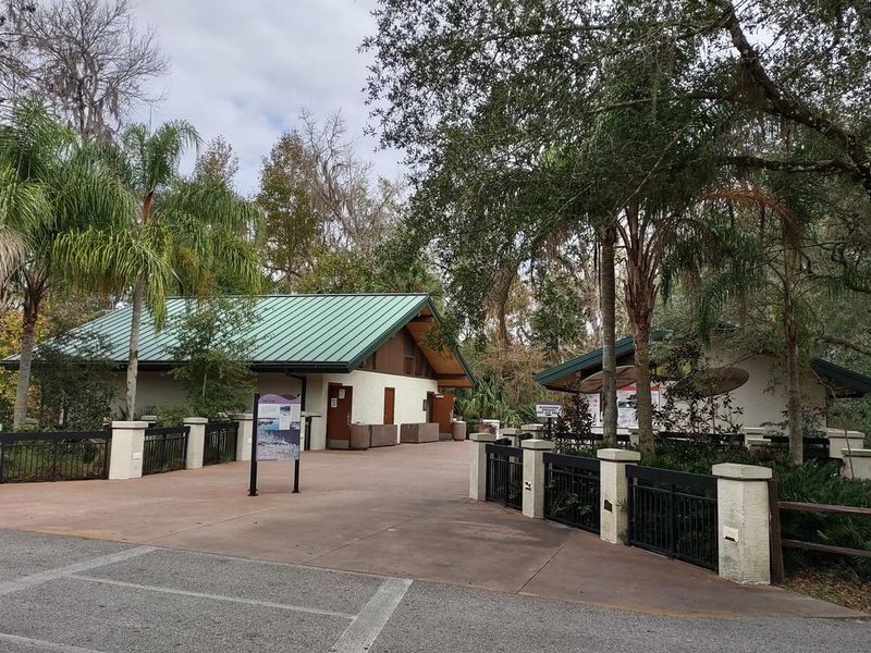
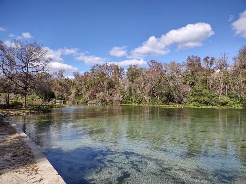
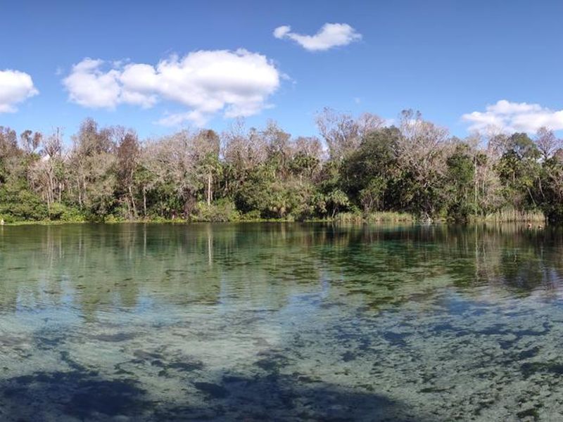
Alexander Springs Recreation Area is nestled in the Ocala National Forest near one of Florida's 27 first-magnitude springs. The turquoise, 72-degree water emerges from the sandy bottom into a broad, naturally sloped pool ideal for swimming, snorkeling, and certified scuba diving. The spring is the only location in the Ocala National Forest where scuba diving is permitted. The campground features 67 sites across four loops with level parking pads suitable for tents and RVs up to 35 feet. Sites are shaded by the surrounding floodplain forest of maples, sweet gum, and cabbage palms. Each site includes a picnic table and fire ring. Bathhouses with flush toilets and hot showers, a dump station, and a small camp store selling firewood, ice, snacks, and camping essentials serve the campground. Beyond the spring, visitors can paddle canoes or kayaks down Alexander Run into the Alexander Springs Wilderness, hike the 0.9-mile Timucuan Trail interpretive loop, or access segments of the 1,400-mile Florida National Scenic Trail. Wildlife including alligators, turtles, deer, black bear, and numerous bird species inhabit the surrounding forest.
Directions
Located on County Road 445 between Astor and Altoona, Florida. From I-75, take Highway 40 east through Ocala approximately 40 miles to Highway 19. Go south on Highway 19 about 5 miles to County Road 445. Go east on CR-445 for 5 miles to the campground.
Nearby Campgrounds
Amenities
| Water | Yes |
| Fires Allowed | Yes |
| Toilets | Yes |
| Dump Station | Yes |
| Wifi | — |
| Pets Allowed | Yes |
| Showers | Yes |
| Electric Hookups | — |
| Water Hookups | — |
| Sewer Hookups | — |
| Camp Store | Yes |
| Price | $38 - $70 |
Vehicle
| Max RV Length | 44ft |
| Max Trailer Length | 44ft |
| Big Rig Friendly | No |
| Pull Through Sites | No |
Contact
| Phone | +1 (352) 669-3522 |
Cell Service
| AT&T | Yes |
| Verizon | Yes |
| T-Mobile | None |
Availability
Photos
Community Posts
No posts yet. Be the first to share your experience!