Many Glacier Campground
Currently closed for the season. Expected to reopen mid-May 2026 following completion of the Swiftcurrent area water system replacement project. All sites require advance reservations via Recreation.gov with a 6-month rolling booking window. Select sites become available 4 days in advance.
About
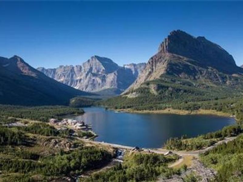
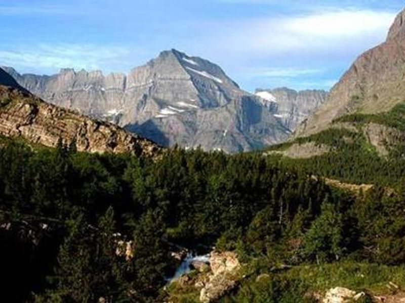
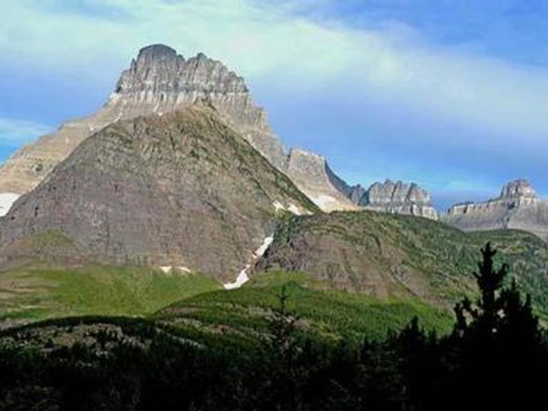
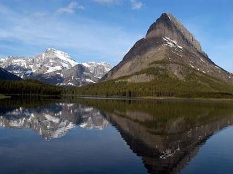
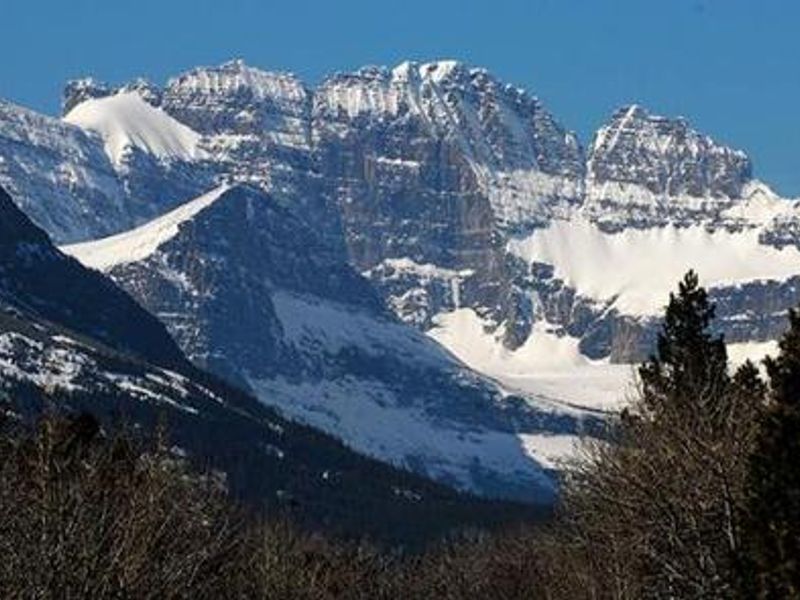
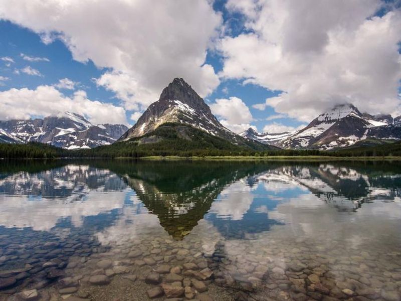
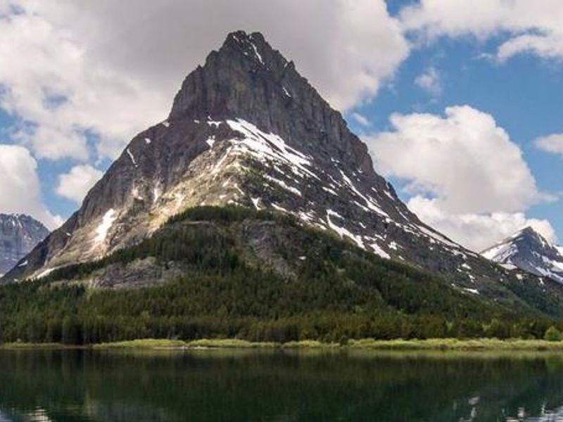
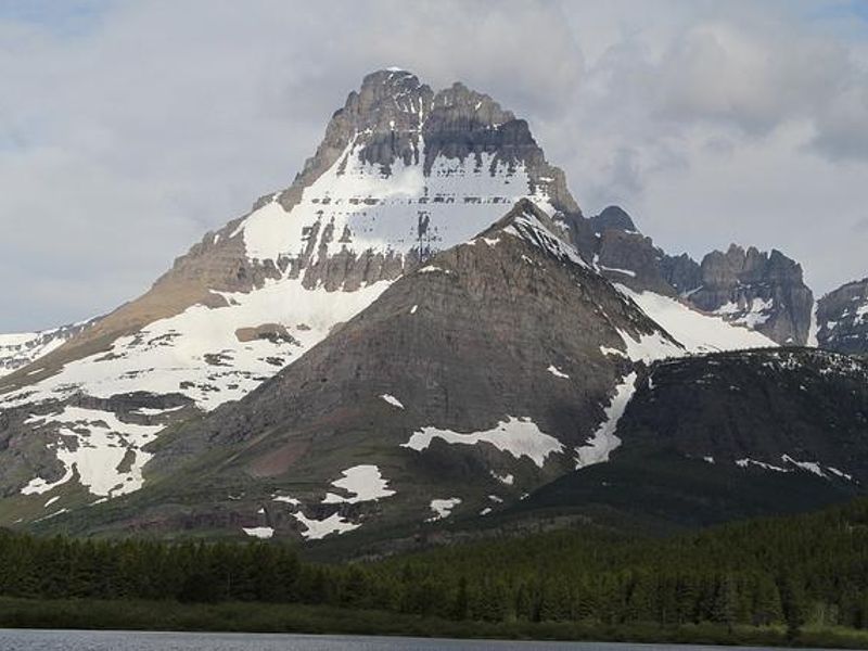
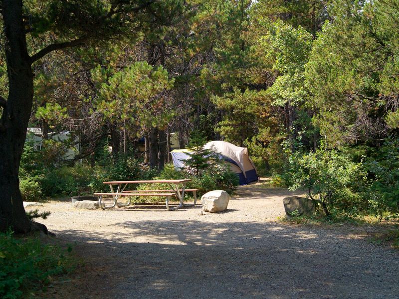
Many Glacier Campground is one of Glacier National Park's most sought-after campgrounds, located on the east side of the Continental Divide at approximately 4,500 feet elevation. The 109 sites are situated within a dense forest of Douglas fir, lodgepole pine, and quaking aspen, providing partial shade and wind protection. Nearby natural features include Swiftcurrent Creek and Lake, with mountain views of Altyn, Henkel, Wilber, Grinnell Point, Allen, and Wynn peaks. The campground offers excellent trailhead access for day hiking and overnight backpacking. Because east-side trailheads start at higher elevations, hikers enjoy shorter climbs to reach alpine vistas compared to west-side approaches. The area is prime grizzly and black bear habitat; hiking in groups, making noise, and carrying bear spray are essential. Swiftcurrent Motor Inn, located a quarter-mile away, provides coin-operated showers, a camp store, restaurant, gift shop, and limited groceries. Cell phone coverage is unavailable at the campground but limited service exists in Babb, 12 miles east. The campground is also a gateway to Waterton Lakes National Park in Alberta, Canada, about 45 miles north.
Directions
From the town of Babb, Montana, turn west onto Many Glacier Road. Drive approximately 12 miles west following signs for Many Glacier Campground. The campground is located about 1/4 mile before the road ends at the Swiftcurrent Motor Inn parking lot. Babb is approximately 8 miles north of St. Mary on Montana Highway 89.
Amenities
| Water | Yes |
| Fires Allowed | Yes |
| Toilets | Yes |
| Dump Station | Yes |
| Wifi | No |
| Pets Allowed | Yes |
| Showers | No |
| Electric Hookups | — |
| Water Hookups | — |
| Sewer Hookups | — |
| Camp Store | Yes |
| Price | $20 - $90 |
Vehicle
| Max RV Length | 35ft |
| Max Trailer Length | 35ft |
| Big Rig Friendly | No |
| Pull Through Sites | No |
Contact
| Phone | +1 (406) 888-7800 |
Cell Service
| AT&T | None |
| Verizon | None |
| T-Mobile | None |
Availability
Photos
Community Posts
No posts yet. Be the first to share your experience!