Wrights Lake Equestrian Campground
Closed until July 31, 2026 due to the Wrights Lake Recreation Improvement Project. The campground may open earlier on a first-come-first-served basis if construction finishes ahead of schedule. Heavy equipment and construction operations will be present in the area. After July 31, certain sites may still experience temporary closures as work continues.
From Recreation.gov
***Notice***- Wrights Lake Recreation Area will be undergoing some exciting renovations in 2026. While we do not have a full scope of work and timing to share yet, we want to inform the public that there may be some disruptions to their stay come the 2026 season. More details to follow.
From Recreation.gov
Due to the Wrights Lake Recreation Improvement Project, Wrights Lake Campground will be **closed until July 31**, but may open up to first come first serve if certain projects are finished early. After that, certain campsites may experience temporary closures. Please use caution while traveling through the Wrights Lake area as construction operations and heavy equipment will be present. Trailheads and day use will still be accessible once conditions allow but may have temporary closures during this time.
National Forest System Roads
Follow California Vehicle Code on National Forest System Roads
About
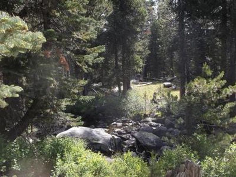
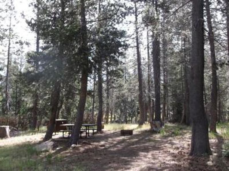
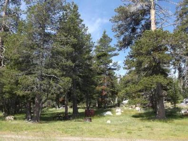
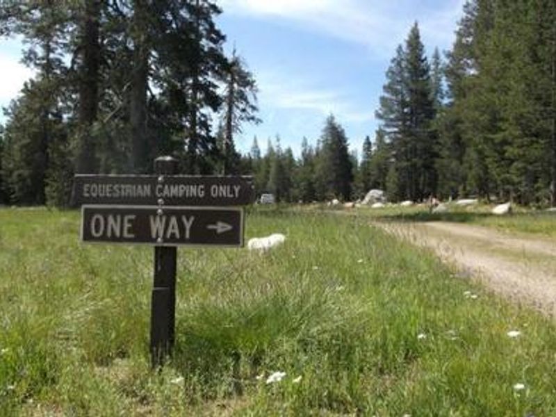
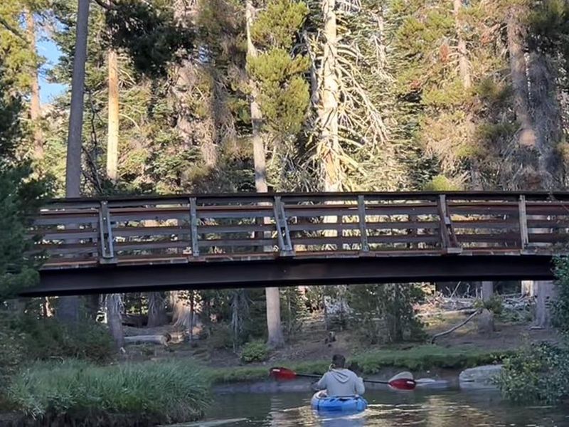
Wrights Lake Equestrian Campground is a dedicated packstock campground located in the Wrights Lake Recreation Area of Eldorado National Forest. Situated at nearly 7,000 feet elevation in a mixed conifer forest with large lodgepole and fir trees, the campground offers 15 sites exclusively for visitors traveling with horses or other packstock animals. Each site includes a picnic table, fire ring with grill, and bear-resistant food storage. At least one equine or packstock animal is required per reservation. The campground provides direct access to equestrian trails leading into the backcountry and Desolation Wilderness, though riders may not travel through the main Wrights Lake Campground or day use areas. An equestrian trail map is posted on-site. Nearby Wrights Lake is a shallow 40-acre lake popular for fishing, swimming, and non-motorized boating. Amenities include potable water tested monthly during the use season and accessible vault toilets. There are no hookups or shower facilities. A campground host is present during the season. Pets are allowed on leash. Wildflowers bloom throughout spring and summer, and the area is known for excellent birding opportunities.
Directions
From Placerville, travel US-50 east approximately 25 miles to Ice House Road. Turn north onto Ice House Road and take the first right to stay on Ice House Road. Travel approximately 10 miles to the junction with Wrights Lake Tie Road. Turn right and continue approximately 9 miles to Wrights Lake Road. Turn left and travel 2 miles to the campground.
Amenities
| Water | Yes |
| Fires Allowed | Yes |
| Toilets | Yes |
| Dump Station | No |
| Wifi | No |
| Pets Allowed | Yes |
| Showers | No |
| Electric Hookups | — |
| Water Hookups | — |
| Sewer Hookups | — |
| Camp Store | No |
| Price | $36 |
Vehicle
| Max RV Length | — |
| Max Trailer Length | — |
| Big Rig Friendly | No |
| Pull Through Sites | No |
Contact
| info@royalelkparkmanagement.com | |
| Phone | +1 (530) 644-2324 |
Cell Service
| AT&T | None |
| Verizon | None |
| T-Mobile | None |
Availability
Photos
Community Posts
No posts yet. Be the first to share your experience!