Cedar Creek
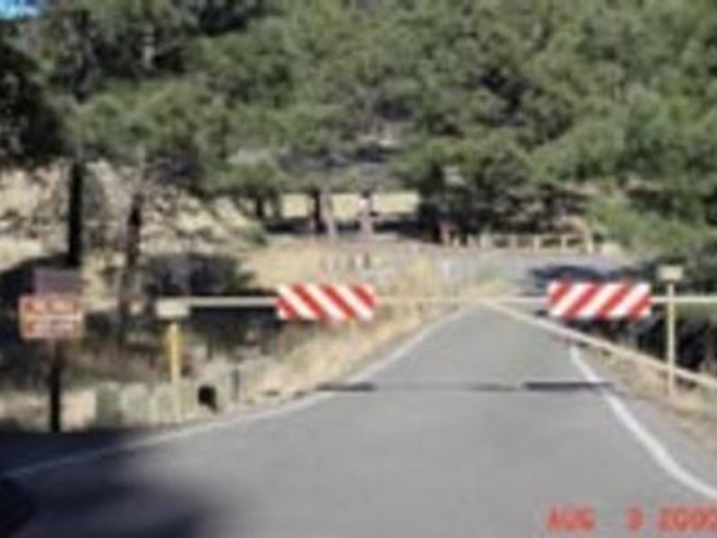
Currently closed due to wildfire damage from the South Fork Fire. No reopening date has been announced. Contact the Smokey Bear Ranger District for updates.
Flash Flood Warning issued September 22 at 3:21PM MDT until September 22 at 6:15PM MDT by NWS Albuquerque NM
FFWABQ The National Weather Service in Albuquerque has issued a * Flash Flood Warning for... The South Fork burn scar in... South Central Lincoln County in central New Mexico... * Until 615 PM MDT. * At 321 PM MDT, Doppler radar indicated thunderstorms producing heavy rain over the South Fork Burn Scar. Between 0.5 and 1.25 inches of rain have fallen. The expected rainfall rate is 0.25 to 0.75 inches in 1 hour. Additional rainfall amounts of 0.25 to 0.75 inches are possible in the warned area. Flash flooding is ongoing or expected to begin shortly. Excessive rainfall over the burn scar will impact Upper Canyon, Brady Canyon, and Perk Canyon as well as the Cedar Creek, Eagle Creek and Rio Ruidoso drainages. Impacts will include but are not limited to all nearby reservoirs, bridges, culverts and roadways. Impacts to areas along the Rio Ruidoso may extend downstream of Ruidoso Downs. The debris flow can consist of rock, mud, vegetation and other loose materials. HAZARD...Life threatening flash flooding. Thunderstorms producing flash flooding in and around the South Fork Burn Scar. SOURCE...Radar indicated. IMPACT...Life threatening flash flooding of areas in and around the South Fork Burn Scar. * Some locations that will experience flash flooding include... Ruidoso and Alto.
Flash Flood Warning issued September 22 at 3:06PM MDT until September 22 at 5:15PM MDT by NWS Albuquerque NM
At 306 PM MDT, Doppler radar and automated rain gauges indicated thunderstorms producing heavy rain across the warned area. Between 0.5 and 2 inches of rain have fallen. The expected rainfall rate is 1 to 2 inches in 1 hour. Additional rainfall amounts up to 0.5 inches are possible in the warned area. Flash flooding is ongoing or expected to begin shortly. HAZARD...Flash flooding caused by thunderstorms. SOURCE...Radar and automated gauges. IMPACT...Flash flooding of small creeks and streams, urban areas, highways, streets and underpasses as well as other poor drainage and low-lying areas. Some locations that will experience flash flooding include... Oscuro. This includes portions of US Highway 54 south of Carrizozo to the county line.
Flash Flood Warning issued September 22 at 2:59PM MDT until September 22 at 6:00PM MDT by NWS Albuquerque NM
FFWABQ The National Weather Service in Albuquerque has issued a * Flash Flood Warning for... West Central Lincoln County in central New Mexico... South Central Socorro County in central New Mexico... * Until 600 PM MDT. * At 259 PM MDT, Doppler radar indicated thunderstorms producing heavy rain across the warned area. Between 0.5 and 1.25 inches of rain have fallen. The expected rainfall rate is 1 to 2 inches in 1 hour. Additional rainfall amounts up to 1 inch are possible in the warned area. Flash flooding is ongoing or expected to begin shortly. HAZARD...Flash flooding caused by thunderstorms. SOURCE...Radar indicated. IMPACT...Flash flooding of small creeks and streams, urban areas, highways, streets and underpasses as well as other poor drainage and low-lying areas. * Some locations that will experience flash flooding include... Mainly rural areas of West Central Lincoln and South Central Socorro Counties.
About
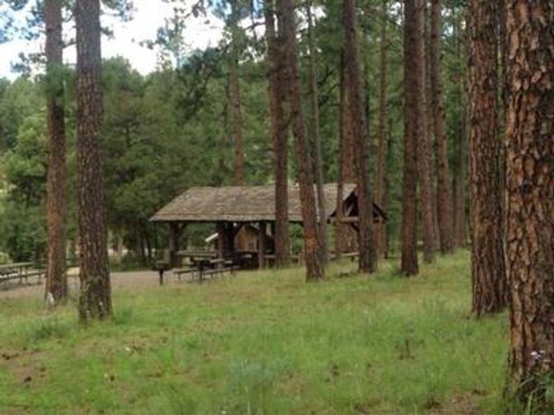
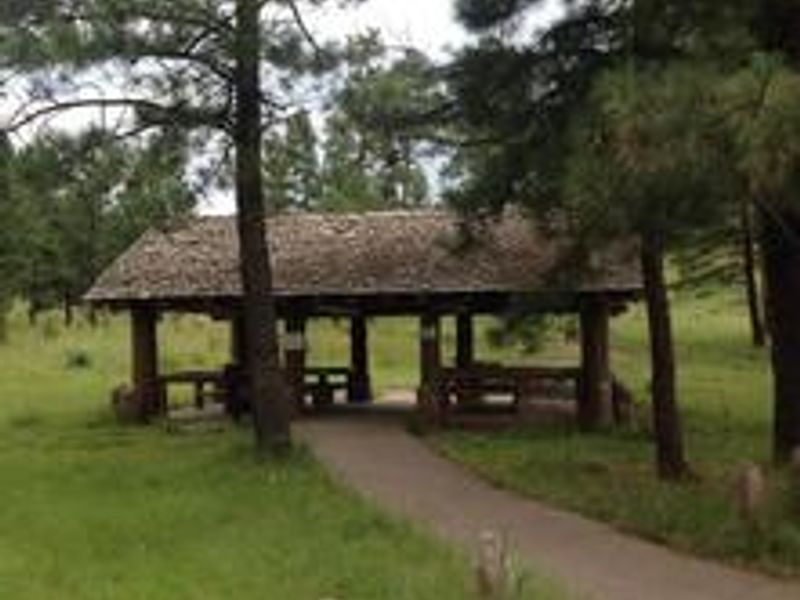
Sam Tobias Memorial Group Campground is located along Cedar Creek at 7,000 feet elevation in Lincoln National Forest, just a half mile west of Ruidoso. Previously known as Cedar Creek Campground, the site was renamed to honor Sam Tobias, a local firefighter who died in the line of duty during the summer of 2000. The campground is designed exclusively for group use, featuring three large campsites with capacities of 60, 80, and 100 people, plus a day-use picnic pavilion accommodating up to 40 guests. Each site includes wheelchair-accessible picnic shelters, campfire rings, grills, and electric hookups. Vault toilets are available throughout the facility. Adjacent to the campground are several multi-use trails popular for hiking and mountain biking. The T90 Fitness Trail extends 1.3 miles with exercise stations, while biking trails T120 A-D and T121 A-B offer additional options. An expert-only downhill mountain bike trail near the water tower ends at the picnic area. Dogs must remain leashed while hiking and are not permitted on the Fitness Trail. Wildlife viewing opportunities include mule deer and elk.
Directions
From Ruidoso on Mechem Drive, take Cedar Creek Road west 0.5 miles. Cedar Creek is the first recreational area located on the right (north).
Amenities
| Water | No |
| Fires Allowed | Yes |
| Toilets | Yes |
| Dump Station | — |
| Wifi | — |
| Pets Allowed | Yes |
| Showers | No |
| Electric Hookups | Yes |
| Water Hookups | No |
| Sewer Hookups | No |
| Camp Store | — |
| Price | $40 - $125 |
Vehicle
| Max RV Length | 35ft |
| Max Trailer Length | 35ft |
| Big Rig Friendly | No |
| Pull Through Sites | No |
Contact
| Phone | +1 (575) 257-4095 |
Cell Service
| AT&T | Yes |
| Verizon | Yes |
| T-Mobile | Yes |
Availability
Photos
Community Posts
No posts yet. Be the first to share your experience!