Acorn Valley
Open for the 2026 season. Reservations are handled through Recreation.gov. Check-in is at 2:00 PM and checkout is at noon. Camping is limited to 14 consecutive days within any 30-day period.
Flood Watch issued November 3 at 10:27AM CST until November 7 at 12:00PM CST by NWS Des Moines IA
...The National Weather Service in Des Moines has issued a Flood Watch for the following rivers in Iowa... Des Moines River at Des Moines SE 6th St affecting Marion, Warren and Polk Counties. Raccoon River at Des Moines Fleur Dr affecting Polk County. * WHAT...Flooding is possible. * WHERE...Des Moines River at Des Moines SE 6th St, or from below the Center Street dam to Runnells. * WHEN...From Friday afternoon to Saturday afternoon. * ADDITIONAL DETAILS... - At 10:15 AM CST Tuesday the stage was 15.2 feet, and rising. - Forecast...Flood stage may be reached Friday afternoon. - Flood stage is 24.0 feet.
Flood Watch issued November 3 at 10:27AM CST until November 7 at 2:00AM CST by NWS Des Moines IA
...The National Weather Service in Des Moines has issued a Flood Watch for the following rivers in Iowa... Des Moines River at Des Moines SE 6th St affecting Marion, Warren and Polk Counties. Raccoon River at Des Moines Fleur Dr affecting Polk County. * WHAT...Flooding is possible. * WHERE...Raccoon River at Des Moines Fleur Dr, or from Walnut Creek to the Des Moines River. * WHEN...From Thursday afternoon to late Friday night. * ADDITIONAL DETAILS... - At 10:17 AM CST Tuesday the stage was 6.1 feet, and rising. - Forecast...Flood stage may be reached Thursday afternoon. - Flood stage is 12.0 feet.
About
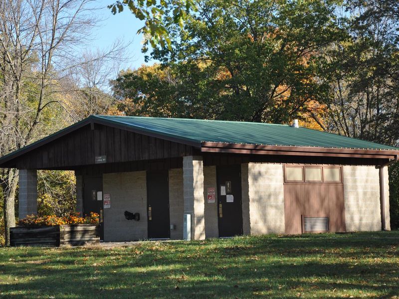
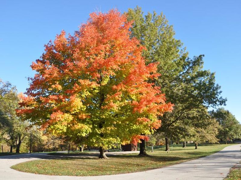
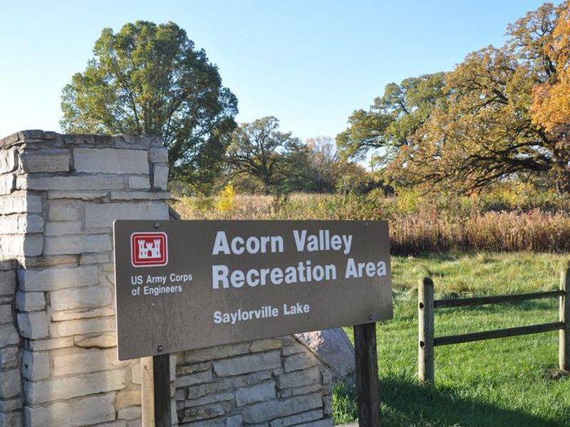
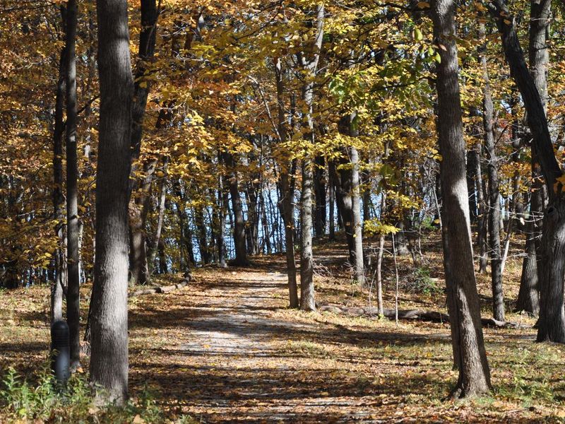
Acorn Valley Campground occupies a scenic 26-acre parcel on the eastern shore of Saylorville Lake, where mature bur oaks frame the entrance and upland timber provides welcome shade during Iowa summers. The campground is part of the 26,000-acre Saylorville Lake Project, which stretches over 50 miles along the Des Moines River Valley and is managed by the US Army Corps of Engineers. The campground features 29 family sites with 50-amp electric hookups suitable for RVs up to 51 feet, plus 54 primitive walk-to tent sites for those seeking a quieter backcountry experience. Two group camping areas accommodate larger parties: a youth group area restricted to organized youth groups and a standard group area open to all visitors. Amenities include flush toilets, hot showers, drinking water, a dump station, and fire rings at campsites. Saylorville Lake offers excellent fishing for walleye, largemouth bass, catfish, crappie, and northern pike. The 24-mile Neal Smith Trail, a designated National Recreation Trail, passes through the area and connects campgrounds on the east side of the lake to Big Creek State Park and downtown Des Moines. Wildlife including white-tailed deer, turkeys, and waterfowl are common throughout the area.
Directions
From I-35/80 north of Des Moines, take exit 131 toward Johnston/Saylorville Lake. Turn north on Merle Hay Road and continue for 2.8 miles. At the four-way stop, turn left on Northwest Beaver Drive and continue for 3.7 miles. Turn right onto Northwest Coryden Drive and follow signs into the campground.
Nearby Campgrounds
Amenities
| Water | Yes |
| Fires Allowed | Yes |
| Toilets | Yes |
| Dump Station | Yes |
| Wifi | — |
| Pets Allowed | Yes |
| Showers | Yes |
| Electric Hookups | Yes |
| Water Hookups | No |
| Sewer Hookups | No |
| Camp Store | — |
| Price | $14 - $70 |
Vehicle
| Max RV Length | 72ft |
| Max Trailer Length | 72ft |
| Big Rig Friendly | Yes |
| Pull Through Sites | No |
Contact
| Phone | +1 (515) 276-0429 |
Cell Service
| AT&T | Yes |
| Verizon | Yes |
| T-Mobile | Yes |
Availability
Photos
Community Posts
No posts yet. Be the first to share your experience!