Oak Grove Picnic Area
This is a day-use picnic area only with no overnight camping. Picnic shelters are open seasonally with hours varying: 7am-9pm May through Labor Day. Group shelters are reservable via Recreation.gov.
Flood Watch issued September 15 at 6:59AM CDT until September 16 at 5:00AM CDT by NWS Des Moines IA
...The National Weather Service in Des Moines has issued a Flood Watch for the following rivers in Iowa... Raccoon River at Des Moines Fleur Dr affecting Polk County. * WHAT...Flooding is possible. * WHERE...Raccoon River at Des Moines Fleur Dr, or from Walnut Creek to the Des Moines River. * WHEN...From this evening to late tonight. * ADDITIONAL DETAILS... - At 6:47 AM CDT Tuesday the stage was 8.6 feet, and rising. - Forecast...Flood stage may be reached based on the latest forecast information. - Flood stage is 12.0 feet.
Flood Watch issued September 15 at 4:19AM CDT until September 15 at 12:00PM CDT by NWS Des Moines IA
...The National Weather Service in Des Moines has issued a Flood Watch for the following rivers in Iowa... Walnut Creek at Des Moines 63rd St affecting Polk County. * WHAT...Flooding is possible. * WHERE...Walnut Creek at Des Moines 63rd St, or from 1 1/3 miles upstream of North Walnut Creek to the Raccoon River. * WHEN...From early this morning to this afternoon. * ADDITIONAL DETAILS... - At 4:01 AM CDT Tuesday the stage was 12.1 feet, and rising. - Forecast...Flood stage may be reached based on the latest forecast information. - Flood stage is 14.0 feet.
Flood Watch issued September 15 at 3:57AM CDT until September 16 at 1:00PM CDT by NWS Des Moines IA
* WHAT...Flash flooding caused by excessive rainfall continues to be possible. * WHERE...Portions of southwestern, central, and northeastern Iowa. * WHEN...Through Wednesday afternoon. * IMPACTS...Excessive runoff may result in flooding of rivers, creeks, streams, and other low-lying and flood-prone locations. * ADDITIONAL DETAILS... - Heavy rainfall is expected to continue through this morning before a lull in activity is forecast for this afternoon. However, heavy rainfall is forecast to move back into the area late Tuesday night into Wednesday.
About
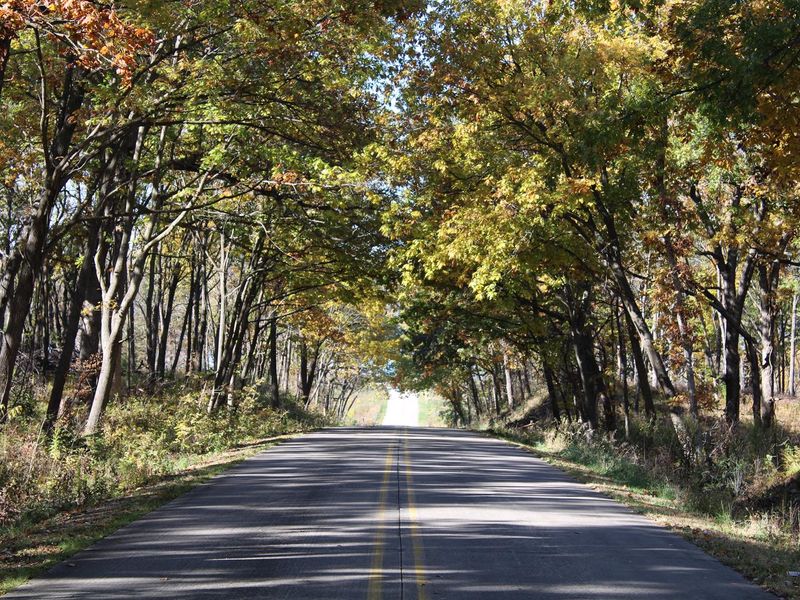
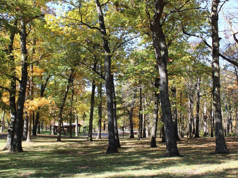
Oak Grove Picnic Area is a day-use recreation site within the 26,000-acre Saylorville Lake Project, managed by the U.S. Army Corps of Engineers. Nestled among stately oak trees on the east side of the lake, this facility offers two reservable group picnic shelters with electric and water hookups, each accommodating up to 50 people. The area provides flush toilets, a playground, volleyball court, and access to hiking trails including the 24-mile paved Neal Smith Trail. A large swimming beach is within walking distance. Saylorville Lake offers boating, water skiing, windsurfing, and fishing for walleye, bass, catfish, crappie, and northern pike. This is a day-use only facility with no overnight camping permitted. Picnic shelters can be reserved through Recreation.gov. Operating hours vary seasonally: 7am-8pm in April, 7am-9pm from May through Labor Day, and 7am-8pm from after Labor Day through October.
Directions
From Ankeny, travel 3.4 miles west on 1st Street. Turn right onto HWY 415 for 0.9 miles, then left onto NW 44th Street, which turns slightly right and becomes NW 98th Ave. Picnic area is on the right.
Amenities
| Water | Yes |
| Fires Allowed | — |
| Toilets | Yes |
| Dump Station | — |
| Wifi | — |
| Pets Allowed | Yes |
| Showers | No |
| Electric Hookups | — |
| Water Hookups | — |
| Sewer Hookups | — |
| Camp Store | — |
| Price | $50 |
Vehicle
| Max RV Length | — |
| Max Trailer Length | — |
| Big Rig Friendly | — |
| Pull Through Sites | No |
Contact
| jonathan.d.wuebker@usace.army.mil | |
| Phone | +1 (515) 276-4656 |
Cell Service
| AT&T | Yes |
| Verizon | Yes |
| T-Mobile | Yes |
Availability
Photos

Community Posts
No posts yet. Be the first to share your experience!