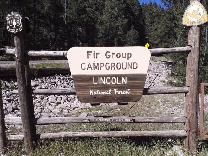
Lower Fir Group Area
Open May 15 through late September. Reservations required via Recreation.gov. Check-in is 2pm, check-out is noon. Call 575-682-1518 prior to arrival to get the gate lock combination.
Flash Flood Warning issued September 18 at 4:14PM MDT until September 18 at 6:15PM MDT by NWS El Paso Tx/Santa Teresa NM
FFWEPZ The National Weather Service in El Paso Tx/Santa Teresa has issued a * Flash Flood Warning for... Northeastern Otero County in south central New Mexico... * Until 615 PM MDT. * At 414 PM MDT, Doppler radar indicated thunderstorms producing heavy rain across the warned area. Up to 0.5 inches of rain have fallen. Additional rainfall amounts up to 0.5 inches are possible in the warned area. Flash flooding is ongoing or expected to begin shortly. HAZARD...Flash flooding caused by thunderstorms. SOURCE...Radar indicated. IMPACT...Flash flooding of small creeks and streams, urban areas, highways, streets and underpasses as well as other poor drainage and low-lying areas. * Some locations that will experience flash flooding include... Mainly rural areas of Northeastern Otero County. Additional rain on top of saturated soils will result in flash flooding downstream of Whitetail.
Flood Watch issued September 18 at 2:49PM MDT until September 19 at 3:00AM MDT by NWS El Paso Tx/Santa Teresa NM
* WHAT...Flooding caused by excessive rainfall continues to be possible. * WHERE...A portion of south central New Mexico, including the following areas, East Slopes Sacramento Mountains Below 7500 Feet, Sacramento Mountains Above 7500 Feet and West Slopes Sacramento Mountains Below 7500 Feet. * WHEN...Through late tonight. * IMPACTS...Excessive runoff may result in flooding of rivers, creeks, streams, and other low-lying and flood-prone locations. Creeks and streams may rise out of their banks. * ADDITIONAL DETAILS... - 48-hour rainfall observations shows a wide swath of 0.75-1.50" across the US-70 corridor over the Sacramento Mountains. High soil moisture will allow runoff to occur quickly with any additional rounds of rain. Additional scattered showers and thunderstorms are expected to develop over portions of Otero County this evening and overnight, leading to localized flash flooding. Areas that have already received excessive rainfall and flooding recently such as Whitetail, Apache Summit, and Tularosa Creek will be at highest risk. - http://www.weather.gov/safety/flood
Cannabis Possession Prohibited
Order 03-00-00-21-002 prohibits possessing, storing, or transporting a cannabis plant, any part of a cannabis plant, or any substance derived from a cannabis plant within the Southwestern Region National Forests in the State of New Mexico and the National Grasslands in the states of Texas and…
About
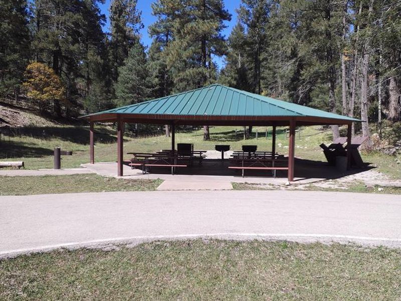
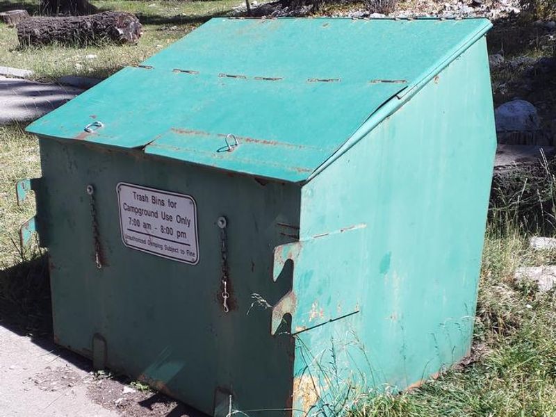
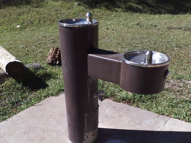
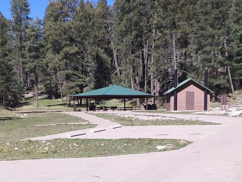
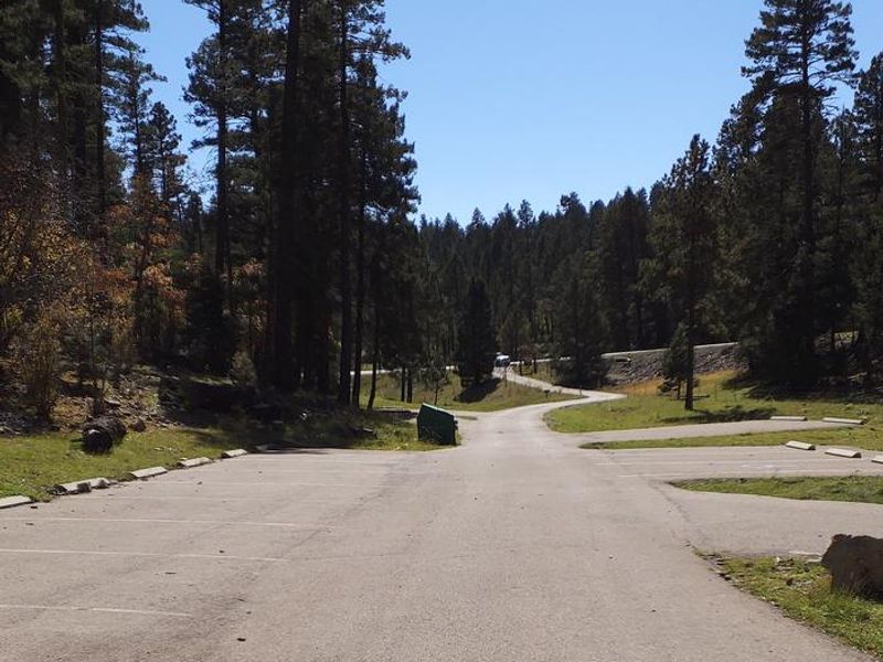
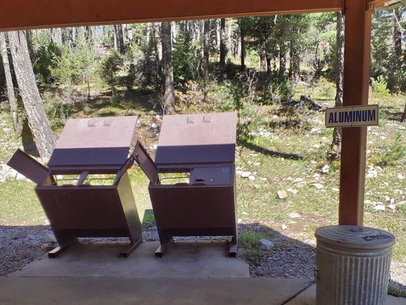
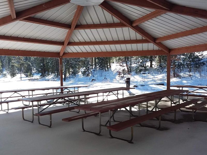
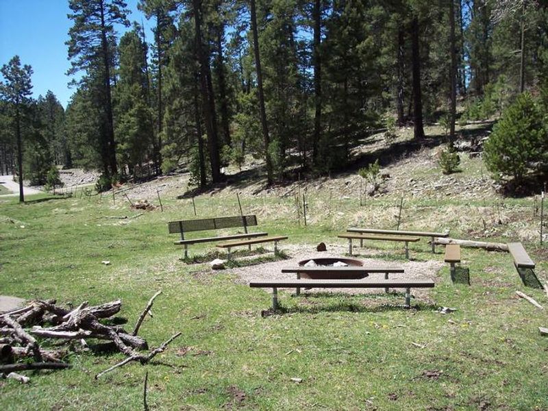
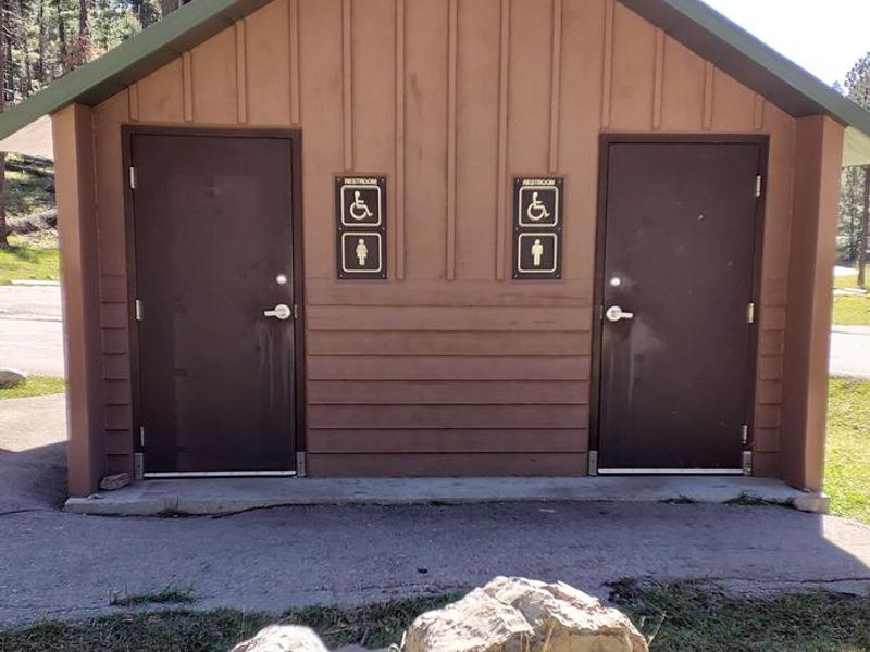
Lower Fir Group Area is a highly popular group campground tucked into the Sacramento Mountains of Lincoln National Forest at 9,000 feet elevation. The site is set away from public roads, leaving only the sounds of rustling aspen leaves. The campground accommodates groups up to 70 people and features a covered pavilion, 8 picnic tables, 2 fire rings, vault toilets, potable water, and garbage depositories. An adjacent open meadow provides space for volleyball, horseshoes, and other group activities. The surrounding Lincoln National Forest spans 1.1 million acres of undisturbed landscape. The Rim Trail offers epic views and rocky switchbacks for hikers, mountain bikers, and horseback riders. A few miles south, the same trail opens to motorcyclists. Wildlife viewing opportunities include elk, deer, birds, and occasional black bears. The campground is a mile from Cloudcroft, a quaint mountain town with New Mexico's only standing railroad trestle. White Sands National Monument, the world's largest dune field of pure white gypsum sand, is accessible as a day trip to the west.
Directions
From Alamogordo take US 82 east for 17 miles, just past Cloudcroft. Turn left (northwest) onto NM 244. Go approximately 1 mile. Turn right onto Forest Road 422. Go approximately 1/4 mile. Campground is on the left.
Amenities
| Water | Yes |
| Fires Allowed | Yes |
| Toilets | Yes |
| Dump Station | — |
| Wifi | — |
| Pets Allowed | — |
| Showers | No |
| Electric Hookups | — |
| Water Hookups | — |
| Sewer Hookups | — |
| Camp Store | — |
| Price | $123 - $154 |
Vehicle
| Max RV Length | 35ft |
| Max Trailer Length | 35ft |
| Big Rig Friendly | No |
| Pull Through Sites | No |
Contact
| Phone | +1 (575) 682-1518 |
Cell Service
| AT&T | Yes |
| Verizon | Yes |
| T-Mobile | Yes |
Availability
Photos
Community Posts
No posts yet. Be the first to share your experience!