Ahart Campground
The campground is currently closed and opens for the 2026 season on May 14. The season runs through November. Some sites are reservable through Recreation.gov; others are first-come, first-served.
National Forest System Roads
Follow California Vehicle Code on National Forest System Roads
Fireworks and Explosives are always Prohibited
Fireworks and explosives (including explosive targets) are always prohibited on national forest lands. The prohibition of fireworks and exploding targets on national forest system lands is part of a set of permanent fire safety regulations in the Code of Federal Regulations (CFR), listed below.…
Downieville Downhill Closure Order
Closure of identified forest roads and trails for Downieville Downhill.
About
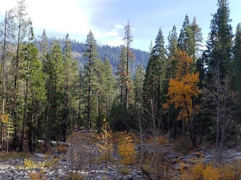
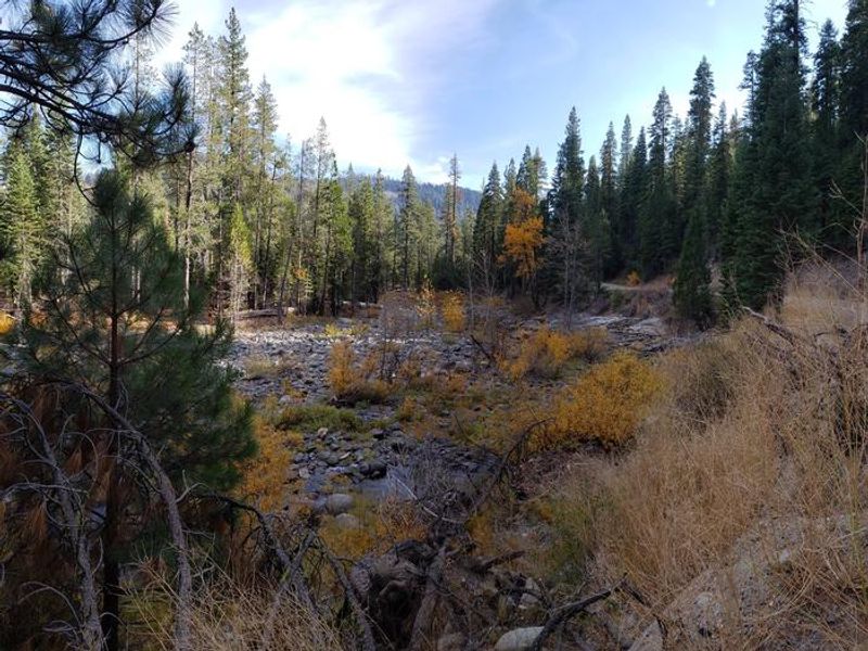
Ahart Campground is a small, primitive campground located on the Middle Fork of the American River in the Tahoe National Forest, about 40 miles from Foresthill. The campground sits near the north shore of French Meadows Reservoir at elevation in the Sierra Nevada mountains, surrounded by towering conifers. With just 11 campsites, it offers a quiet, secluded camping experience away from the more developed campgrounds in the area. The campground provides vault toilets and bear-proof food storage lockers at each site, but campers must bring their own drinking water as none is available on-site. All trash must be packed out. The access roads are narrow and winding, making this campground unsuitable for large RVs or motorhomes even if individual site parking spads appear long enough. High-clearance vehicles are recommended. The area offers excellent opportunities for fishing, boating on French Meadows Reservoir, and hiking into the adjacent Granite Chief Wilderness. Summer days are warm and pleasant with cool evenings typical of the high Sierra. There is no cell service at the campground.
Directions
From Foresthill, drive 36 miles east on Mosquito Ridge Road (Forest Road 96). The campground is on the Middle American River, 1 mile north of French Meadows Reservoir. High-clearance vehicles are recommended; the road from Soda Springs via the 43 Road is not suitable for trailers, motorhomes, or low-clearance vehicles.
Amenities
| Water | No |
| Fires Allowed | Yes |
| Toilets | Yes |
| Dump Station | No |
| Wifi | No |
| Pets Allowed | — |
| Showers | No |
| Electric Hookups | — |
| Water Hookups | — |
| Sewer Hookups | — |
| Camp Store | No |
| Price | $20 |
Vehicle
| Max RV Length | — |
| Max Trailer Length | — |
| Big Rig Friendly | No |
| Pull Through Sites | No |
Contact
| Phone | +1 (530) 367-2224 |
Cell Service
| AT&T | None |
| Verizon | None |
| T-Mobile | None |
Useful Links
| View on Recreation.gov | |
| Tahoe NF Ahart Campground |
Availability
Photos
Community Posts
No posts yet. Be the first to share your experience!