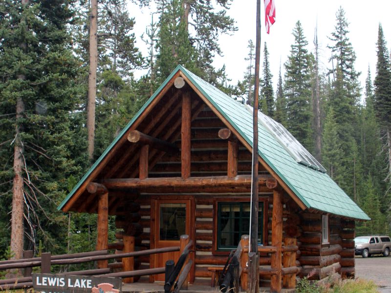
Lewis Lake Campground
Closed for the season. Opens June 15, 2026 and closes October 11, 2026. All 84 sites are reservable via Recreation.gov. Generators are prohibited. Potable water is typically shut off by late September depending on weather.
About
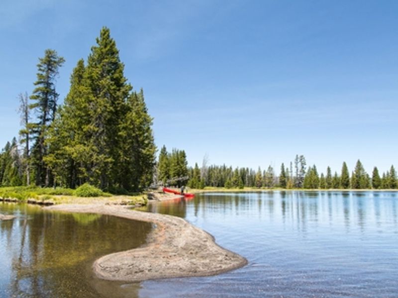
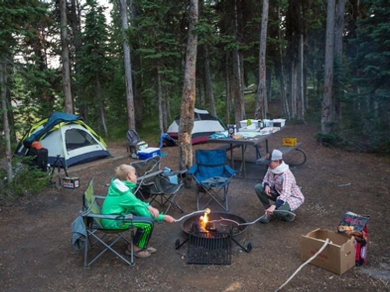
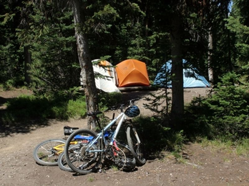
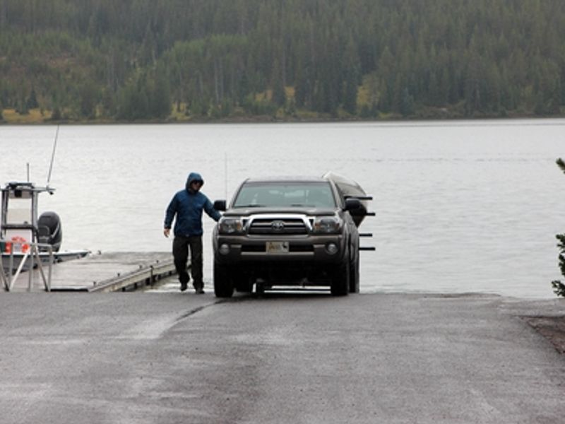
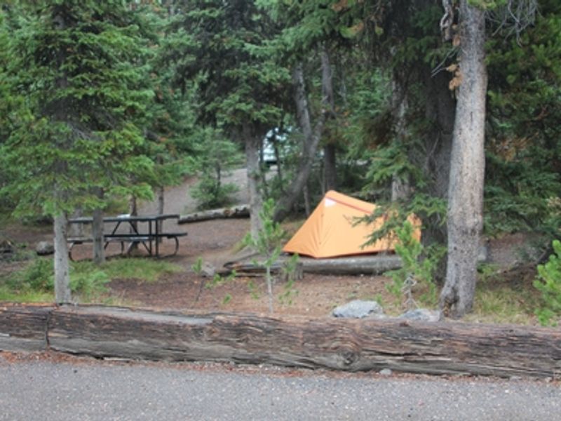
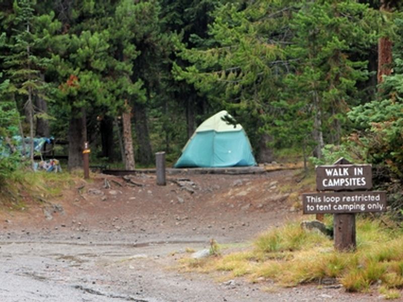
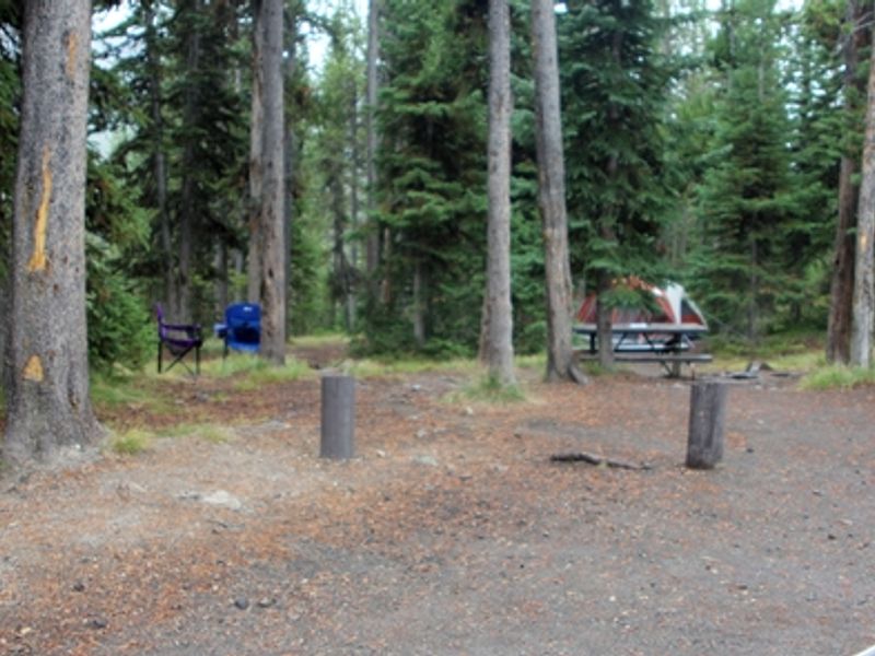
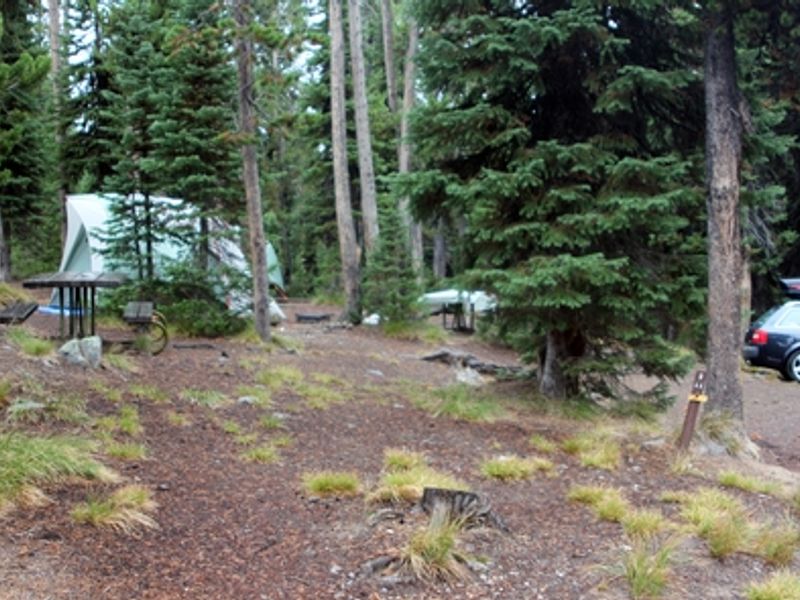
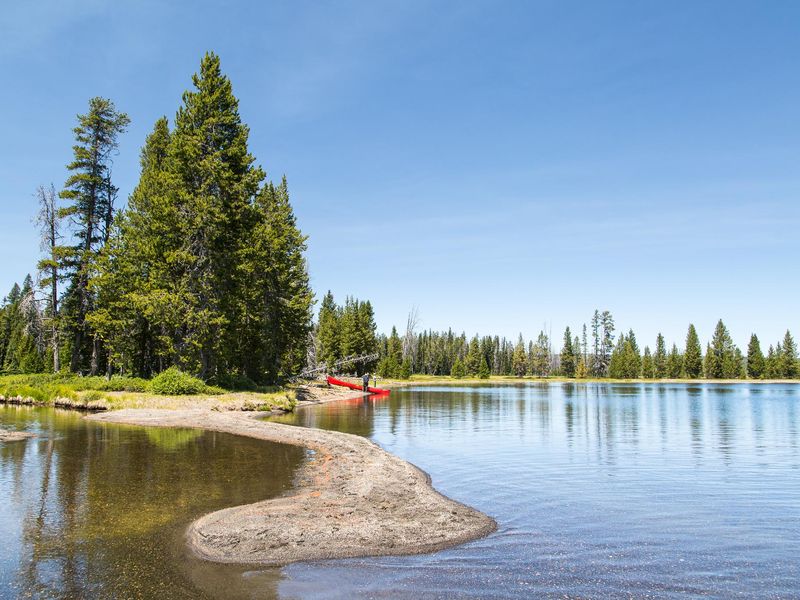
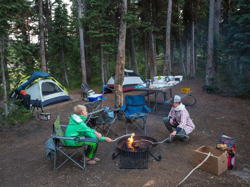
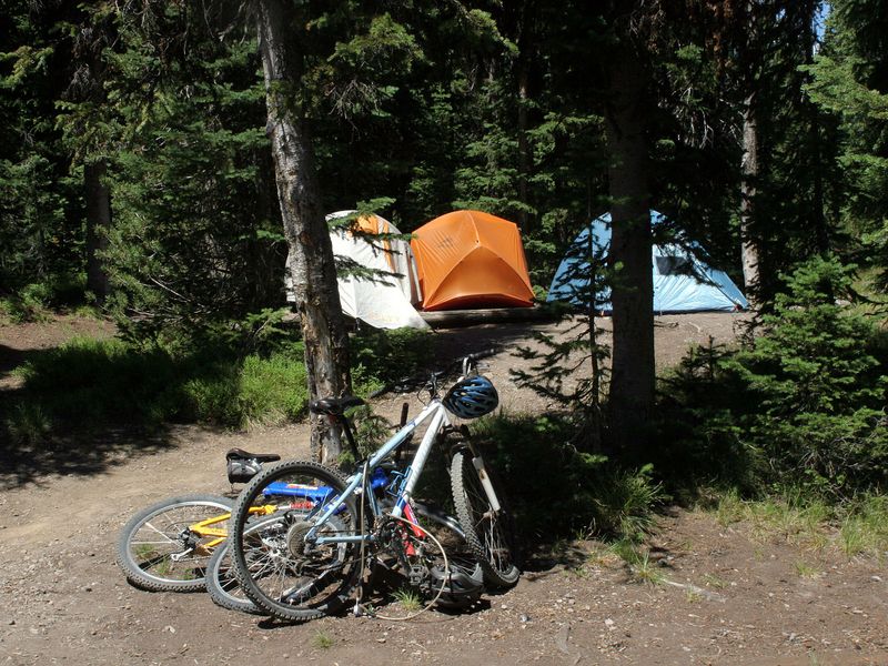
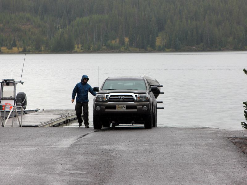
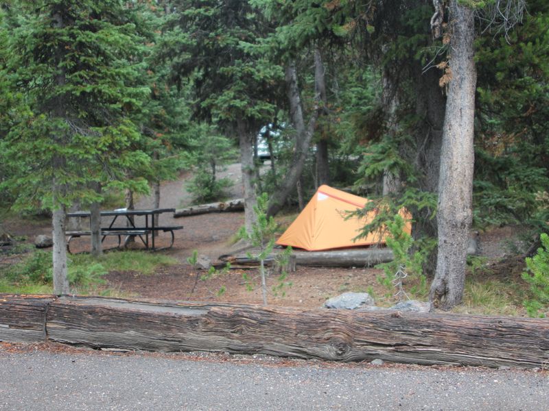
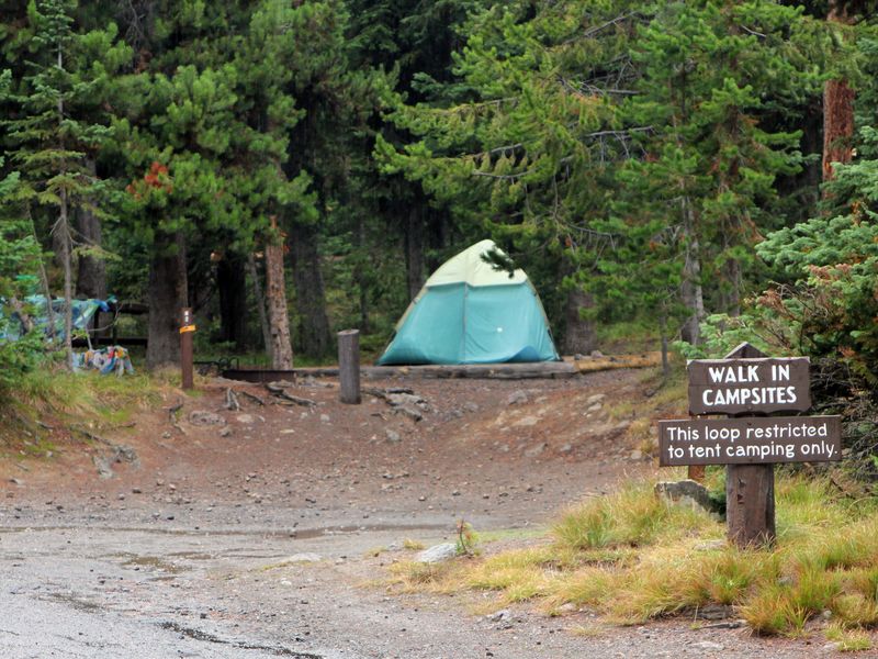
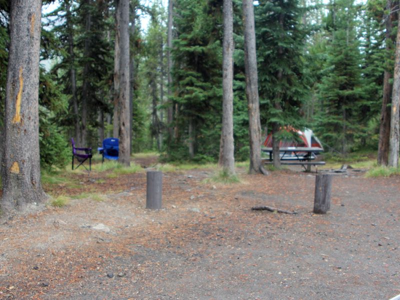
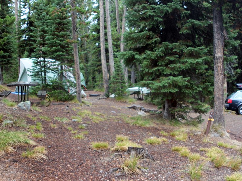
Lewis Lake Campground occupies a forested setting at 7,800 ft elevation along the southeast shore of Lewis Lake in Yellowstone's southern region. The campground provides access to one of the park's large high-elevation freshwater lakes, which permits both motorized and non-motorized watercraft. A boat ramp near the registration area serves as the launch point, though all boats require a park permit and mandatory aquatic invasive species inspection by park staff. The 84 campsites are spread across four areas: a walk-in section and Loops A, B, and C. All sites are standard non-electric with a maximum total vehicle length of 25 feet. Amenities include vault toilets, seasonal potable water spigots, bear-proof food storage lockers, and trash/recycling collection. A campground host is present seasonally. There are no showers, dump stations, hookups, or cell phone reception. Recreation options include fishing (state license required for ages 16+), boating, and hiking. Lewis Falls and Lewis Canyon overlook are nearby attractions. The campground serves as an access point for backcountry camping in the surrounding area.
Directions
Located 12 miles north of the South Entrance on the road between South Entrance and West Thumb.
Amenities
| Water | Yes |
| Fires Allowed | Yes |
| Toilets | Yes |
| Dump Station | No |
| Wifi | No |
| Pets Allowed | Yes |
| Showers | No |
| Electric Hookups | — |
| Water Hookups | — |
| Sewer Hookups | — |
| Camp Store | — |
| Price | $20 |
Vehicle
| Max RV Length | 25ft |
| Max Trailer Length | 25ft |
| Big Rig Friendly | No |
| Pull Through Sites | No |
Contact
| YELL_visitor_services@nps.gov | |
| Phone | +1 (307) 344-7381 |
Cell Service
| AT&T | None |
| Verizon | Yes |
| T-Mobile | None |
Availability
Photos
Community Posts
No posts yet. Be the first to share your experience!