Tailwater West Day Use Area
This is a day-use only area with no overnight camping. The group shelter is available for reservation or free first-come, first-served use when not reserved. All visitors must vacate by sunset.
Flood Watch issued September 20 at 12:31PM CDT until September 20 at 1:00PM CDT by NWS Quad Cities IA IL
The Flood Watch will expire for portions of Illinois, including the following areas, Bureau, Carroll, Henry IL, Jo Daviess, Mercer, Putnam, Rock Island, Stephenson and Whiteside and Iowa, including the following areas, Benton, Buchanan, Cedar, Clinton, Delaware, Dubuque, Iowa, Jackson, Johnson, Jones, Keokuk, Linn, Louisa, Muscatine, Scott and Washington. The threat for additional flooding has ended. Therefore, the Flood Watch will expire at 1 PM CDT this afternoon.
Flood Warning issued September 20 at 12:03PM CDT until September 20 at 1:45PM CDT by NWS Quad Cities IA IL
* WHAT...Flooding caused by excessive rainfall continues. * WHERE...Benton County in east central Iowa... Northern Cedar County in east central Iowa... Northern Iowa County in east central Iowa... Northern Johnson County in east central Iowa... Jones County in east central Iowa... Linn County in east central Iowa... * WHEN...Until 145 PM CDT. * IMPACTS...Flooding of rivers, creeks, streams, and other low-lying and flood-prone locations is occurring. Streams remain flooded or very slowly receding due to excess runoff from earlier rainfall. Low-water crossings are inundated with water and may not be passable. Expect many areas of slow moving or standing water. * ADDITIONAL DETAILS... - At 1201 PM CDT, there continued to be public reports of slowly receding water from flooded creeks in and near Marion in Linn County. Runoff from recent heavy rain will continue lead to flooding of low-lying spots, urban areas, small streams and creeks and poor-drainage areas. The threat for heavy rain has ended, but runoff will delay fall of water levels and improvement in conditions. - Some locations that will experience flooding include... Cedar Rapids, Anamosa, Vinton, Marengo, Mechanicsville, Stanwood, Marion, Hiawatha, Mount Vernon, Robins, Belle Plaine, Center Point, Lisbon, Fairfax, Solon, Ely, Atkins, Walford, Springville and Palo.
Flood Warning issued September 20 at 12:00PM CDT until September 20 at 2:00PM CDT by NWS Quad Cities IA IL
* WHAT...Flooding caused by excessive rainfall continues. * WHERE...Southern Cedar County in east central Iowa... Iowa County in east central Iowa... Johnson County in east central Iowa... Muscatine County in east central Iowa... Keokuk County in southeastern Iowa... Northwestern Louisa County in southeastern Iowa... Washington County in southeastern Iowa... * WHEN...Until 200 PM CDT. * IMPACTS...Flooding of rivers, creeks, streams, and other low-lying and flood-prone locations continues. Streams remain high or just over their banks to excess runoff from earlier rainfall. Low-water crossings are inundated with water and may not be passable. Expect many areas of slow moving or standing water. It will take several hours for all the water from these storms to work through local drainage systems in urban areas. * ADDITIONAL DETAILS... - At 1154 AM CDT, Trained weather spotters reported creeks over their banks in northwest Louisa and western Muscatine Counties. Between 2.5 and 5 inches of rain fell over much of the warned area yesterday and Sunday morning. - Some locations that will experience flooding include... Iowa City, Muscatine, Washington, Tipton, Marengo, West Branch, Sigourney, Columbus Junction, Durant, Coralville, North Liberty, West Liberty, Williamsburg, Wilton, Kalona, Tiffin, Wellman, Lone Tree and University Heights.
About
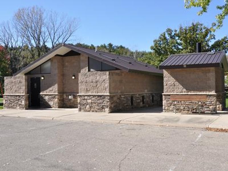
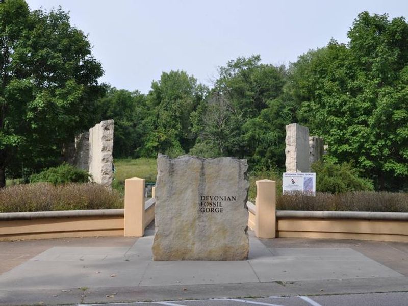
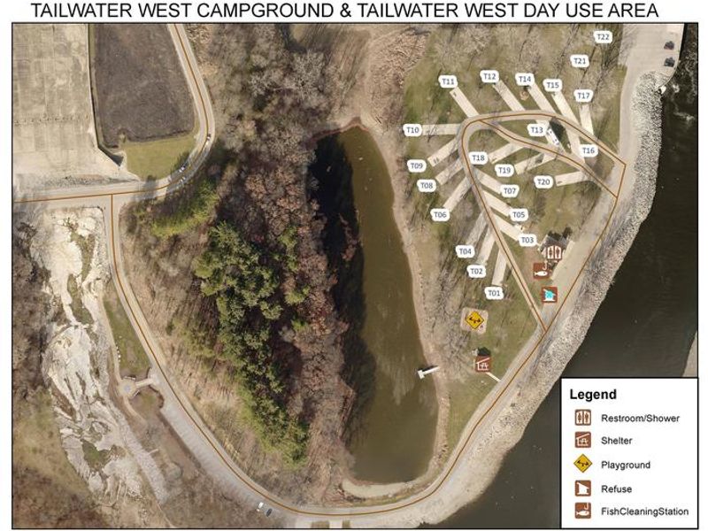
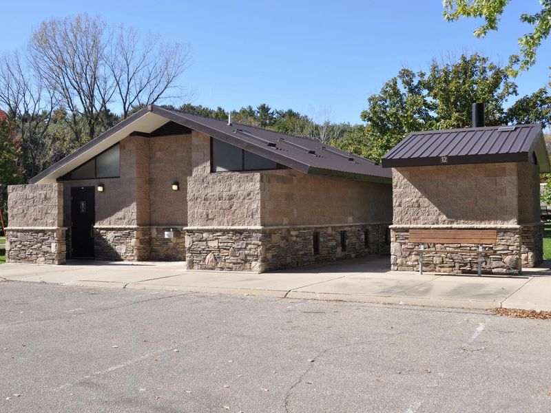
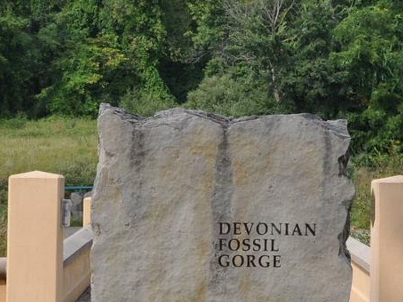
Tailwater West Day Use Area sits in a heavily wooded forest of mixed hardwood species on the west side of Coralville Lake Dam. The facility caters to day visitors seeking picnic and fishing opportunities along the Iowa River tailwaters. The centerpiece is a group shelter with electric service and drinking water that can be reserved through Recreation.gov or used free of charge on a first-come, first-served basis when not reserved. Coralville Lake offers excellent fishing for largemouth and smallmouth bass, crappie, walleye, and catfish. The area includes an accessible fishing pier and connects to several trails within the Dam Complex, including Squire Point, Woodpecker Trail, Tailwater Riverwalk, and the barrier-free Veterans Trail. The nearby Devonian Fossil Gorge provides a unique opportunity to explore a 375-million-year-old sea floor with fossil remains of ancient marine life. This is strictly a day-use area with no overnight camping. All visitors must clean up and vacate the shelters and surrounding grounds by sunset.
Directions
From Interstate 80 (Iowa City), take Exit 244 towards Dubuque St./North Liberty. Travel north on Dubuque St. for 3 miles and turn right onto West Overlook Rd. NE. Travel 1.1 miles, then at the second stop sign turn right onto Prairie Du Chien Rd. NE. Travel east 0.2 miles; entrance is on the right.
Amenities
| Water | Yes |
| Fires Allowed | — |
| Toilets | Yes |
| Dump Station | — |
| Wifi | — |
| Pets Allowed | — |
| Showers | — |
| Electric Hookups | — |
| Water Hookups | — |
| Sewer Hookups | — |
| Camp Store | — |
| Price | $50 |
Vehicle
| Max RV Length | — |
| Max Trailer Length | — |
| Big Rig Friendly | — |
| Pull Through Sites | No |
Contact
| Phone | +1 (319) 338-3543 |
Cell Service
| AT&T | Yes |
| Verizon | Yes |
| T-Mobile | Yes |
Availability
Photos
Community Posts
No posts yet. Be the first to share your experience!