Creek Pasture Group Site
Open for camping. Reservations available through Recreation.gov; some dates operate first-come, first-served. Maximum stay is 14 days.
Flood Warning issued November 2 at 12:31PM MST until November 5 at 5:15PM MST by NWS Grand Junction CO
* WHAT...Flooding along the San Juan River caused by excessive rainfall is expected. * WHERE...along the San Juan River from the Four Corners through Mexican Hat, UT. This includes Bluff, Montezuma Creek and Aneth. * WHEN...Until 515 PM MST Thursday. * IMPACTS...River levels continue to rise due to excess runoff from Sunday's rainfall. Expect high water levels and the River exceeding its banks, inundating low-lying areas along the San Juan River. A prolonged period of high water is forecast, with a crest near 23.5 ft Thursday morning. It will take several hours for all the water from these storms to work through local drainage systems. * ADDITIONAL DETAILS... - At 1222 PM MST, stream gauge reports upstream and impacts of flooding have been reported along the San Juan River near Farmington, NM. Expect flood waters to reach the Four Corners Wednesday evening and the town of Bluff early Thursday morning. Timing of crest is subject to change as more details become available. Please continue to monitor the forecast and updated warnings. - At 11:30 AM MST Monday the stage was 20.4 feet. - Bankfull stage is 22.0 feet. - Forecast...The river will rise to 22 feet late this evening with a secondary crest near 23.5 feet expected near Bluff early Thursday morning. It will then fall below flood stage Thursday morning. - Flood stage is 23.0 feet. - Http://www.weather.gov/safety/flood - Some locations that will experience flooding include... Mexican Hat, Bluff, Montezuma Creek, and Aneth. - http://www.weather.gov/safety/flood
Flood Warning issued November 2 at 9:36AM MST until November 3 at 8:00AM MST by NWS Salt Lake City UT
* WHAT...Significant flooding caused by excessive rainfall is expected along the San Juan River from near Bluff to the terminus at Lake Powell. * WHERE...Southwestern San Juan County in southeastern Utah... * WHEN...Until 800 AM MST Tuesday. * IMPACTS...Flooding along San Juan River is occurring. The crest has occurred at Bluff and high flows will continue to flow down the San Juan River toward the terminus at Lake Powell through Tuesday morning. * ADDITIONAL DETAILS... - At 935 AM MST, river gauges indicate flooding continues along the San Juan River. - Some locations that will experience flooding include... the San Juan River from Bluff to the terminus at Lake Powell. - http://www.weather.gov/safety/flood
About
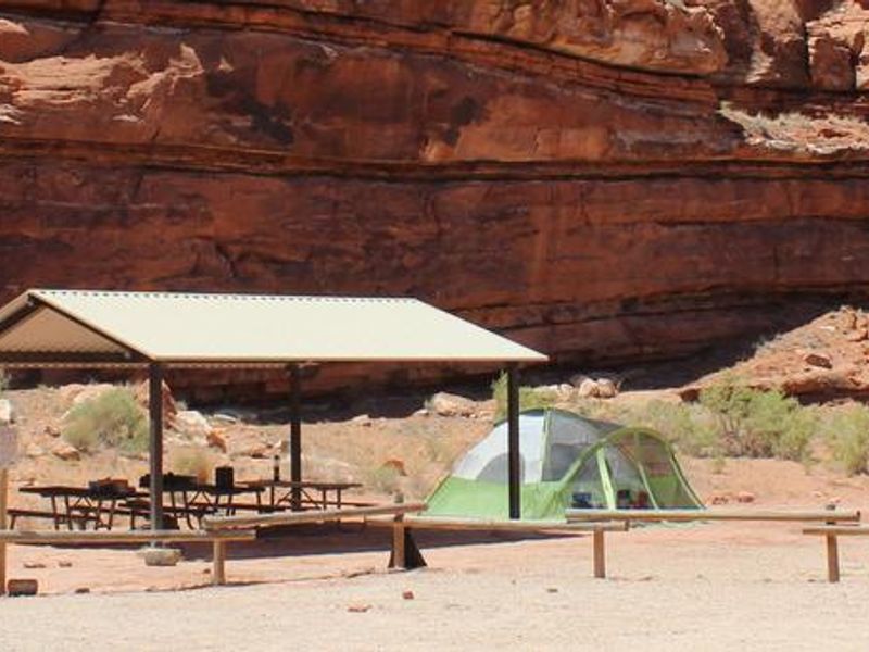
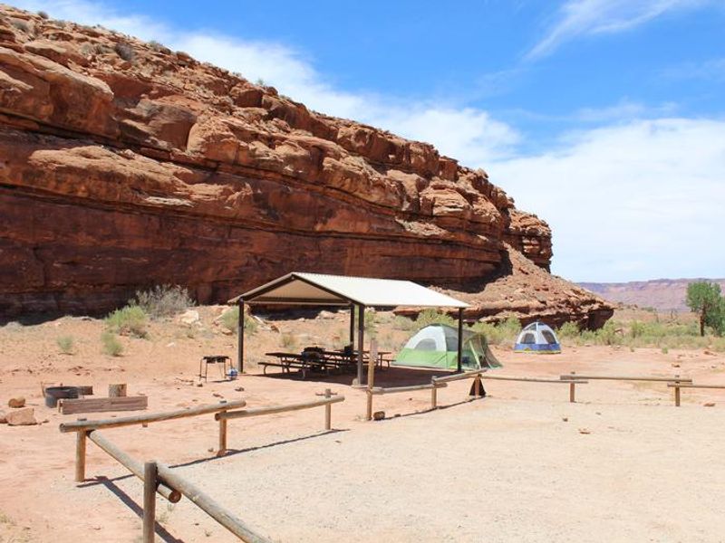
Creek Pasture Group Site sits along the northwestern edge of Creek Pasture Campground in Utah's Indian Creek corridor, a broad valley bracketed by sandstone cliffs of Harts Point and Bridger Jack Mesa. The site is positioned approximately 7.5 miles southeast of the Canyonlands National Park Needles District visitor center and 14.5 miles northwest of Newspaper Rock, making it an ideal base for exploring both the national park and Bears Ears National Monument. The Indian Creek area has gained international recognition for its extraordinary natural beauty and diverse recreational opportunities including hiking, biking, rock climbing, horseback riding, and cultural resource viewing. The area's towering sandstone cliffs and spires attract world-class climbers, while its panoramic vistas and rolling grasslands have made it a popular filming location for commercials and major motion pictures. This is a primitive camping area with limited services. Visitors should bring all water and supplies, pack out all trash and human waste, and bring their own firewood as wood collection is prohibited. Summer thunderstorms can cause flash flooding, and gusty winds require secure tent setups.
Directions
Turn west off US 191 onto Highway 211 and travel approximately 27 miles. The turnoff to the campground is on the north side of the highway, approximately 7.5 miles southeast of the Canyonlands National Park visitor center and 14.5 miles northwest of Newspaper Rock. The group site is on the north end of the campground.
Nearby Campgrounds
Location
Amenities
| Water | No |
| Fires Allowed | Yes |
| Toilets | Yes |
| Dump Station | — |
| Wifi | No |
| Pets Allowed | — |
| Showers | No |
| Electric Hookups | — |
| Water Hookups | — |
| Sewer Hookups | — |
| Camp Store | No |
| Price | $65 |
Vehicle
| Max RV Length | — |
| Max Trailer Length | — |
| Big Rig Friendly | — |
| Pull Through Sites | No |
Contact
| Cworth@BLM.gov | |
| Phone | +1 (435) 587-1500 |
Cell Service
| AT&T | None |
| Verizon | None |
| T-Mobile | None |
Availability
Photos
Community Posts
No posts yet. Be the first to share your experience!