Laurel River Lake Picnic Area
Closed — Closed for the season. The picnic area typically operates seasonally and is currently closed for winter.
About
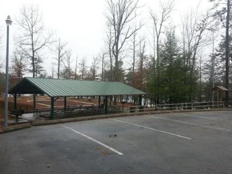
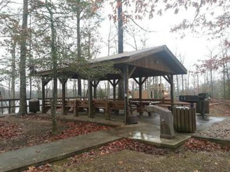
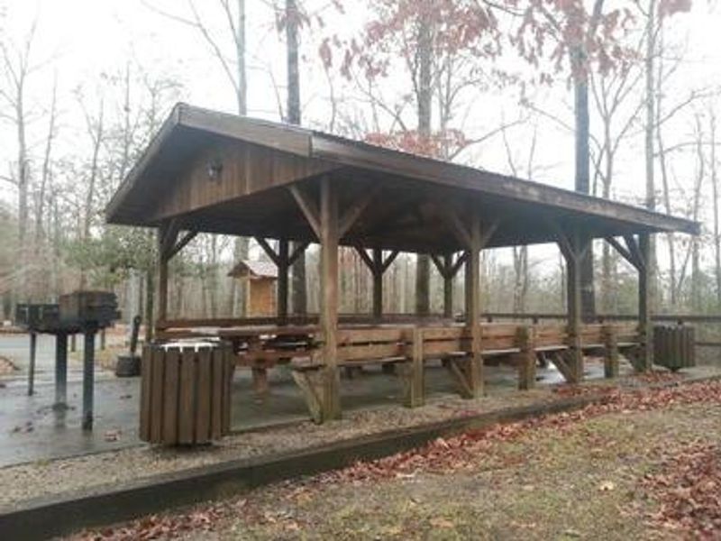
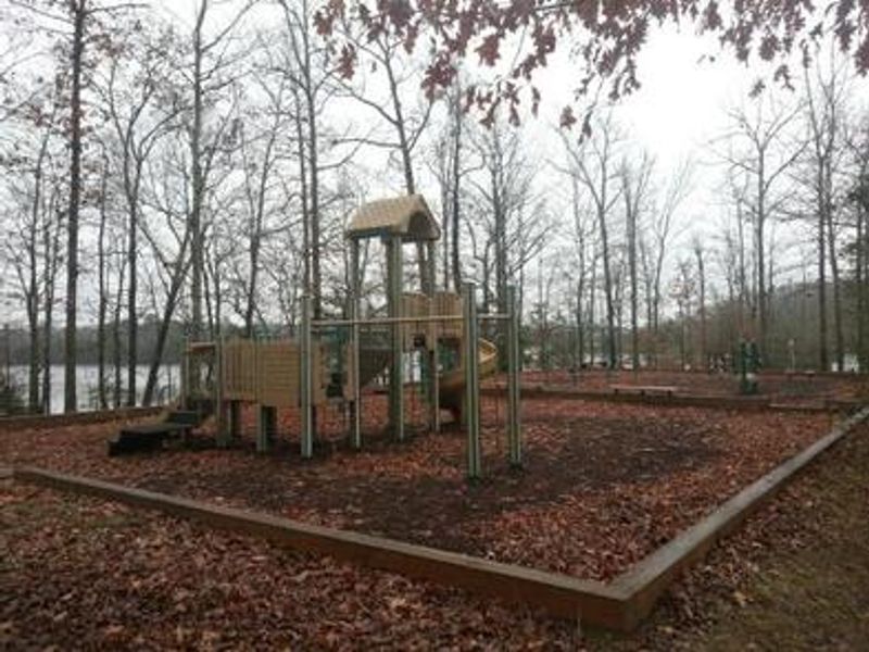
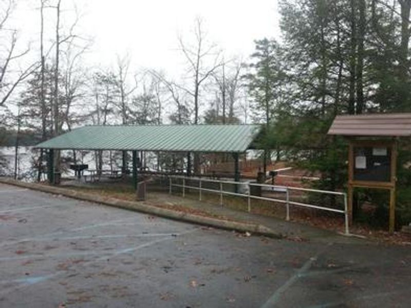
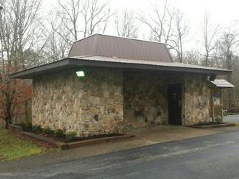
Laurel River Lake Picnic Area is a day-use facility operated by the U.S. Army Corps of Engineers on a scenic peninsula along the shores of 5,600-acre Laurel River Lake. The area provides 19 individual picnic sites available on a first-come, first-served basis, each with a table and grill. Two group shelters are also available for reservation and include electric and water hookups. Additional amenities include drinking water, portable toilets, a playground, horseshoe pit, volleyball net, and a fishing pier. The picnic area sits on one of Kentucky's deepest and cleanest lakes, surrounded by cliff-lined shores and quiet coves. Created by the completion of Laurel River Dam in 1974, the lake provides excellent fishing for black bass, walleye, crappie, bluegill, and catfish. The beach area with 725 feet of sandy shore is located less than a mile away. No overnight camping is permitted at this facility, but the Forest Service operates campgrounds at nearby Holly Bay and Grove Recreation Areas. Cumberland Falls, the second largest waterfall east of the Rockies, is approximately 20 miles away.
Directions
From London, Kentucky, head west on Highway 192 for approximately 15 miles. Turn slight left onto KY-1193 and continue until arriving at the destination on the left. The area is marked by Laurel Dam Picnic Area signs.
Nearby Campgrounds
Amenities
| Water | Yes |
| Fires Allowed | Yes |
| Toilets | Yes |
| Dump Station | No |
| Wifi | No |
| Pets Allowed | — |
| Showers | No |
| Electric Hookups | No |
| Water Hookups | No |
| Sewer Hookups | No |
| Camp Store | No |
| Price | $65 |
Vehicle
| Max RV Length | — |
| Max Trailer Length | — |
| Big Rig Friendly | — |
| Pull Through Sites | No |
Contact
| Phone | +1 (606) 679-6337 |
Cell Service
| AT&T | Yes |
| Verizon | Yes |
| T-Mobile | None |
Availability
Photos
Community Posts
No posts yet. Be the first to share your experience!