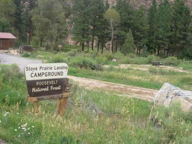
Stove Prairie
Arapaho & Roosevelt National Forests Pawnee Ng
Campalytics™ Beta
Summary
Stove Prairie Campground is located 26 miles northwest of Fort Collins, Colorado, on the Cache la Poudre River. Visitors enjoy the area for its great rafting, fishing, and hiking opportunities, as well as birding and wildlife viewing. The campground has eight accessible, single-family campsites and four walk-to tent sites, with campfire rings, grills, and tables. The surrounding area is full of wildlife and vegetation, with steep mountains and dense forests.
Overview
Stove Prairie Campground is located on the Cache la Poudre River, 26 miles northwest of Fort Collins, in north central Colorado. Visitors enjoy the area for its great rafting, fishing and hiking opportunities.Recreation
The Cache la Poudre River offers whitewater rafting and fishing. Anglers cast for brown, cutthroat and rainbow trout.Hiking, biking and horseback riding trails are in the surrounding area, including the Mt. McConnel Trail, William R. Kreutzer National Recreation Trail and Young Gulch Trail.
Other popular activities include birding and wildlife viewing.
Facilities
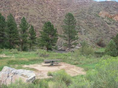
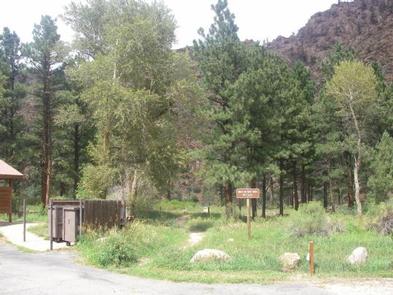
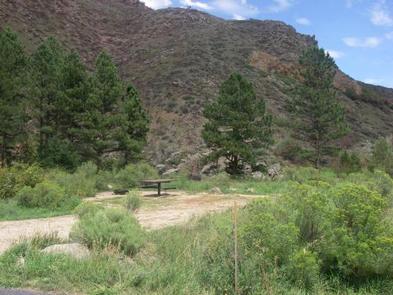
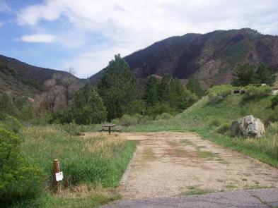
The campground offers eight accessible, single-family campsites. Four sites are walk-to tent sites. Each site is equipped with a 12-by-15 tent pad, table and campfire ring with grill.Accessible vault toilets are provided. Dead and downed firewood may be gathered in the surrounding forest, or purchased from the campground host.
Natural Features
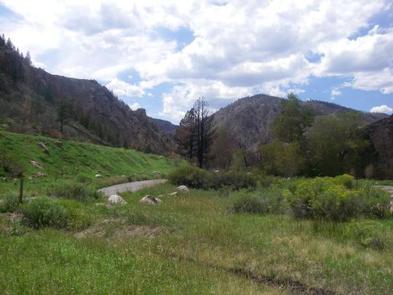
The canyon's vegetation varies from dense forests to open meadows, surrounded by steep mountains. The campground is situated among ponderosa pine and aspen trees on the banks of the Cache la Poudre River, Colorado's first National Wild and Scenic River.Photos
Campground Matrix
Set alerts at more campgrounds to increase your odds of getting a place to stay! Below is a list of the closest campgrounds supported on Campflare. Or, view all campgrounds in Arapaho & Roosevelt National Forests Pawnee Ng.
| Nearby Campgrounds | Distance | Notification Rate |
|
Narrows (Co)
Arapaho & Roosevelt National Forests Pawnee Ng
|
1.9mi | 81% |
|
Ansel Watrous
Arapaho & Roosevelt National Forests Pawnee Ng
|
2.5mi | 76% |
|
Mountain Park
Arapaho & Roosevelt National Forests Pawnee Ng
|
3.8mi | 80% |
|
Jacks Gulch
Arapaho & Roosevelt National Forests Pawnee Ng
|
7.6mi | 82% |
|
West Lake
Arapaho & Roosevelt National Forests Pawnee Ng
|
11.6mi | 83% |
|
Dowdy Lake
Arapaho & Roosevelt National Forests Pawnee Ng
|
11.8mi | 87% |