Dogtown Lake Campground And Group
Currently closed for the season. Opens May 15, 2026 with reservations available on Recreation.gov. Operates through October 31, transitioning to first-come, first-served starting September 17.
Flood Warning issued November 2 at 5:23PM MST until November 2 at 11:30PM MST by NWS Flagstaff AZ
* WHAT...Flooding caused by excessive rainfall continues. * WHERE...East Flagstaff and the Rio de Flag in Coconino County. * WHEN...Until 1130 PM MST Monday. * IMPACTS...Roads are closed and impassable due to flooding. Deadly flooding over low-water crossings. * ADDITIONAL DETAILS... - At 520 PM MST, Roads remain closed within the Flagstaff area due to flooding from earlier heavy rainfall. Flooding will remain a threat along the Rio de Flag while water levels decrease through this evening. - This includes the following creeks, washes and rivers... Rio de Flag. - Some locations that will experience flooding include... East Flagstaff, Doney Park, Downtown Flagstaff, Northern Arizona University, Country Club, Cheshire and Coconino Estates. - This includes the following recreation areas andcampgrounds... Ponderosa Trails Park, Thorpe Park, Wheeler Park, Foxglenn Park, McPherson Park, Bushmaster Park and Picture Canyon Preserve. - Additional information is available at weather.gov/flagstaff.
Flash Flood Warning issued November 2 at 4:50PM MST until November 2 at 8:00PM MST by NWS Flagstaff AZ
At 450 PM MST, the river guage at Winslow remains above major flood stage, with additional rises expected tonight from elevated flow upstream. Water levels are forecast to overtop the levee in Winslow. Flash flooding is already occurring. HAZARD...Life threatening flash flooding. SOURCE...River gauge reported. IMPACT...Life threatening flash flooding of the Little Colorado River. For the Little Colorado River at Winslow: At 4:00pm MST the stage was 25.25 feet. Flood Stage is 19.0 feet. Forecast: A crest of 39.94 feet is expected at 4:00am MST Tuesday. Impacts: At 25.0 feet: Levee is overtopped. Major flooding of portions of Winslow including Ames Acres and Bushman Acres. Some locations that will experience flash flooding include... Winslow, Leupp, Birdsprings, Sunrise, Bushman Acres and Homolovi Ruins State Park. This includes the following recreation areas and campgrounds... Homolovi State Park Campground.
Flood Warning issued November 2 at 4:44PM MST until November 3 at 10:00AM MST by NWS Flagstaff AZ
* WHAT...Flooding caused by excessive rainfall continues. * WHERE...The Little Colorado River from Woodruff to Leupp... * WHEN...Until 1000 AM MST Tuesday. * IMPACTS...Flooding of the Little Colorado River is occurring. * ADDITIONAL DETAILS... - At 436 PM MST, water levels have begin to fall near Woodruff and Holbrook, but both remain above flood stage. Water levels at Winslow remain above major flood stage, and are expected to rise through the overnight as elevated flow moves downstream. Flooding will continue to remain a threat downstream of Winslow in the Birdsprings area as well. Flooding is already ongoing. - For the Little Colorado River near Woodruff: At 4:30pm MST the stage was 21.71 feet. Flood Stage is 20.5 feet. Forecast: Water levels have crested and are expected to fall through this evening. Impacts: At 20.5 feet: Bankfull. Portions of residential yards flooded. - For the Little Colorado River at Holbrook: Flood Stage is 15.5 feet. Forecast: A crest of 20.27 feet is expected at 5:00pm MST Monday. Impacts: At 15.5 feet: Railroad bridge affected. Overflow on South Bank. At 25.0 feet: Levee overtopped. Major flooding. - For the Little Colorado River at Joseph City: At 4:30pm MST the stage was 6.73 feet. Flood Stage is 9.0 feet. Forecast: A crest of 8.09 feet is expected this evening. Impacts: At 7.5 feet: Potential downstream lowland overflow. At 9.0 feet: Flood stage. Minor overflow on right (north) bank, with no threat to any buildings, mainly rural countryside. - For the Little Colorado River at Winslow: At 4:00pm MST the stage was 25.25 feet. Flood Stage is 19.0 feet. Forecast: A crest of 39.94 feet is expected at 4:00am MST Tuesday. Impacts: At 22.0 feet: Lowland flooding on right bank. Damage on left bank to Ames Acres and Bushman Acres in the event of levee failure. At 25.0 feet: Levee is overtopped. Major flooding of portions of Winslow including Ames Acres and Bushman Acres. - Some locations that will experience flooding include... Winslow, Leupp, Birdsprings, Woodruff, Bushman Acres, Homolovi Ruins State Park, Rosedale Heights, and Clearview Heights. - Additional information is available at weather.gov/flagstaff.
About
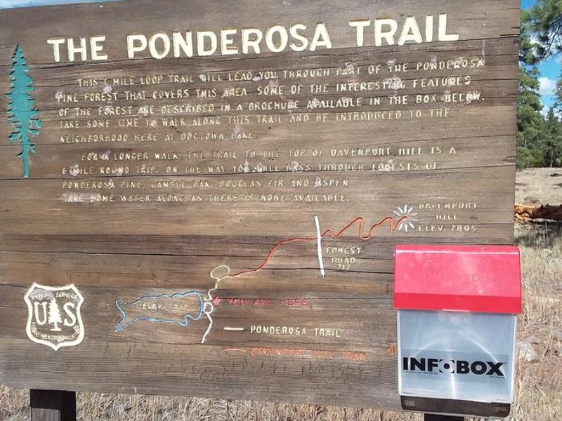
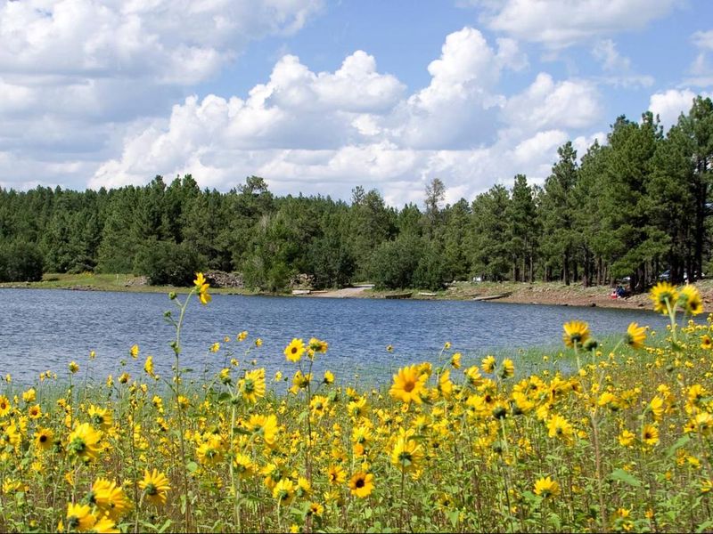
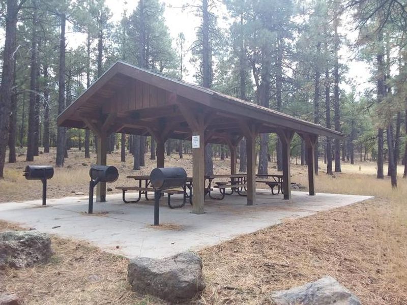
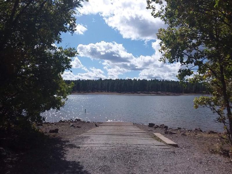
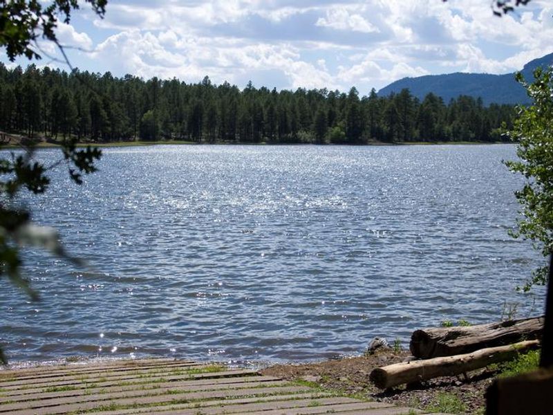
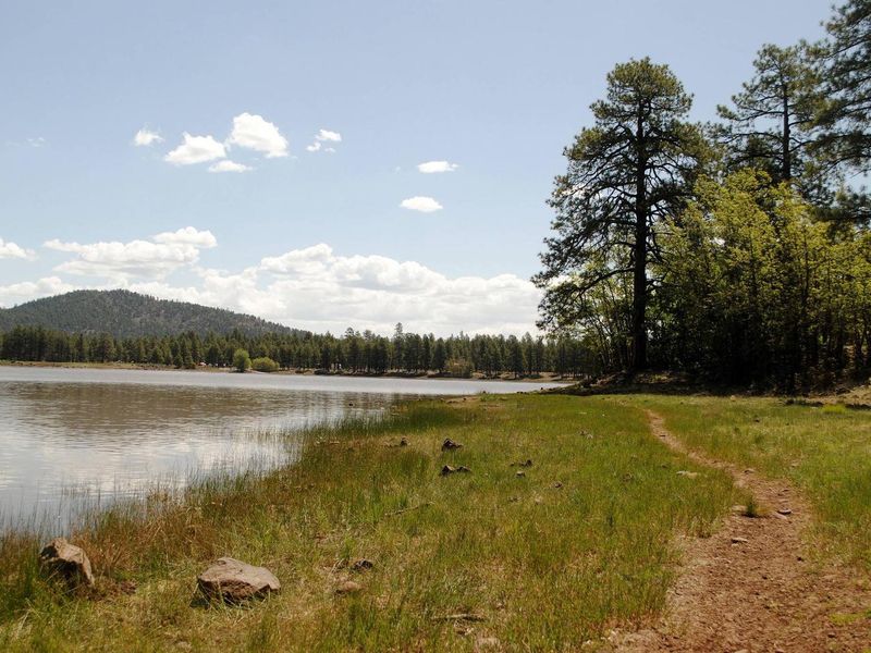
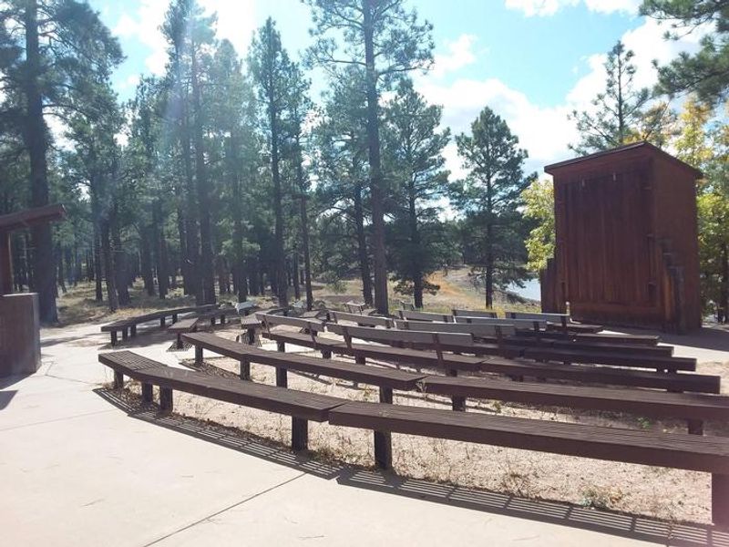
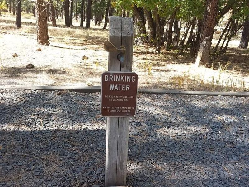
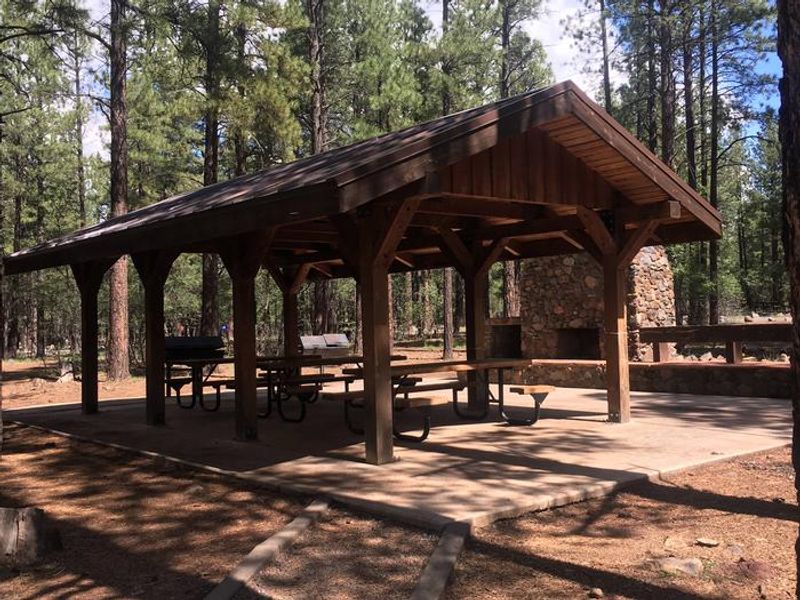
Dogtown Lake Campground occupies a forested setting on the shore of Dogtown Lake in Arizona's Kaibab National Forest. Named for the prairie dog towns that once dotted the surrounding open areas, the lake sits at 7,050 feet elevation amid ponderosa pines with views of Bill Williams Mountain. The campground provides convenient access to Grand Canyon National Park's South Rim, about an hour north, and the towns of Williams and Flagstaff. The lake is stocked with rainbow trout, crappie, and channel catfish. A guided nature trail circles the lake, and a hiking trail climbs to a scenic overlook atop Davenport Hill. The calm waters accommodate canoes, kayaks, and electric motors of one horsepower or less. Mountain biking opportunities exist throughout the surrounding forest. The campground features 50 individual sites, four double sites, and one group site that can host up to 80 people. Sites are level with both pull-through and back-in options. Amenities include vault toilets, potable water, picnic tables, fire rings, and trash service. No hookups, dump station, or showers are available.
Directions
From Williams, turn south on Fourth Street (County Road 73/Perkinsville Road) and drive about 3.5 miles to Forest Road 140. Turn left on FR 140 and continue approximately 3 miles to Forest Road 132. Turn left onto FR 132 and follow it to Dogtown Lake Campground. FR 140 and FR 132 are gravel roads.
Location
Amenities
| Water | Yes |
| Fires Allowed | Yes |
| Toilets | Yes |
| Dump Station | No |
| Wifi | — |
| Pets Allowed | — |
| Showers | No |
| Electric Hookups | — |
| Water Hookups | — |
| Sewer Hookups | — |
| Camp Store | — |
| Price | $50 - $300 |
Vehicle
| Max RV Length | 40ft |
| Max Trailer Length | 30ft |
| Big Rig Friendly | — |
| Pull Through Sites | No |
Contact
| Phone | +1 (928) 635-5600 |
Cell Service
| AT&T | Yes |
| Verizon | Yes |
| T-Mobile | Yes |
Availability
Photos
Community Posts
No posts yet. Be the first to share your experience!