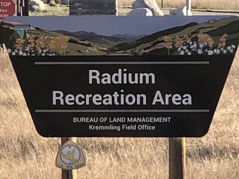
Radium Recreation Area
Closed — Currently closed for the winter season. Reservations become available starting March 1, 2025 at 8:00 AM MST via Recreation.gov. The campground typically operates seasonally from spring through fall.
About
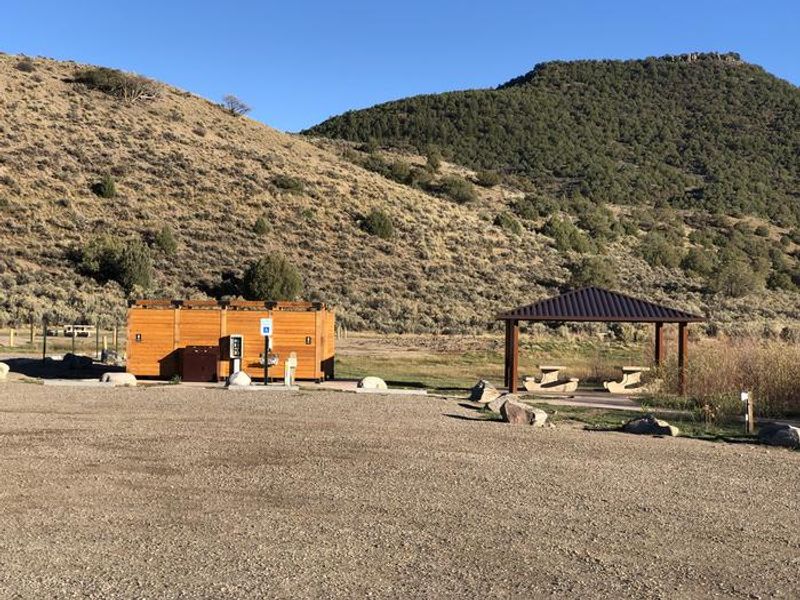
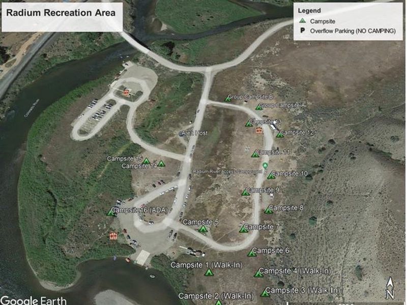
Radium Recreation Area is part of the Upper Colorado River Special Recreation Management Area, a popular BLM-managed site with over 100,000 annual visitors. Located along the Colorado River near the small town of Radium, the recreation area offers 16 single campsites (1-4 are walk-in sites, 5-13 have pull-through parking, 14-16 have pull-in parking up to 30 feet), 2 group campsites, and extensive river access facilities including two developed boat ramps. The campground features 9 vault toilets, picnic tables and fire rings at each site, trash receptacles, and 3 day-use shade structures. There are no electric hookups and no potable water provided on-site; campers must bring their own water. Cell service is non-existent without a booster. The scenery is a major component of the adjacent Colorado Headwaters National Scenic and Historic Byway and contributes to this stretch of river's Wild and Scenic Eligible status. Recreation opportunities include river access for fishing and float boating on the Colorado River. The area also serves as a gateway to Radium Warm Springs, accessible via the Warm Springs Trail and Ol' Warm Springs Trail from a trailhead 1.5 miles northeast on Warm Springs Road off Trough Road.
Directions
From Kremmling, CO, travel south on Hwy 9 for approximately one mile. Turn west onto Grand County 1 (Trough Road) and continue for about 15 miles. Turn right onto County Road 11 (Sheephorn Road) to reach the Radium Recreation Area parking.
Nearby Campgrounds
Amenities
| Water | No |
| Fires Allowed | Yes |
| Toilets | Yes |
| Dump Station | No |
| Wifi | No |
| Pets Allowed | — |
| Showers | No |
| Electric Hookups | — |
| Water Hookups | — |
| Sewer Hookups | — |
| Camp Store | No |
| Price | $10 - $75 |
Vehicle
| Max RV Length | — |
| Max Trailer Length | 30ft |
| Big Rig Friendly | No |
| Pull Through Sites | No |
Contact
| blm_co_kr_webmail@blm.gov | |
| Phone | +1 (970) 724-3000 |
Cell Service
| AT&T | None |
| Verizon | None |
| T-Mobile | None |
Availability
Photos
Community Posts
No posts yet. Be the first to share your experience!