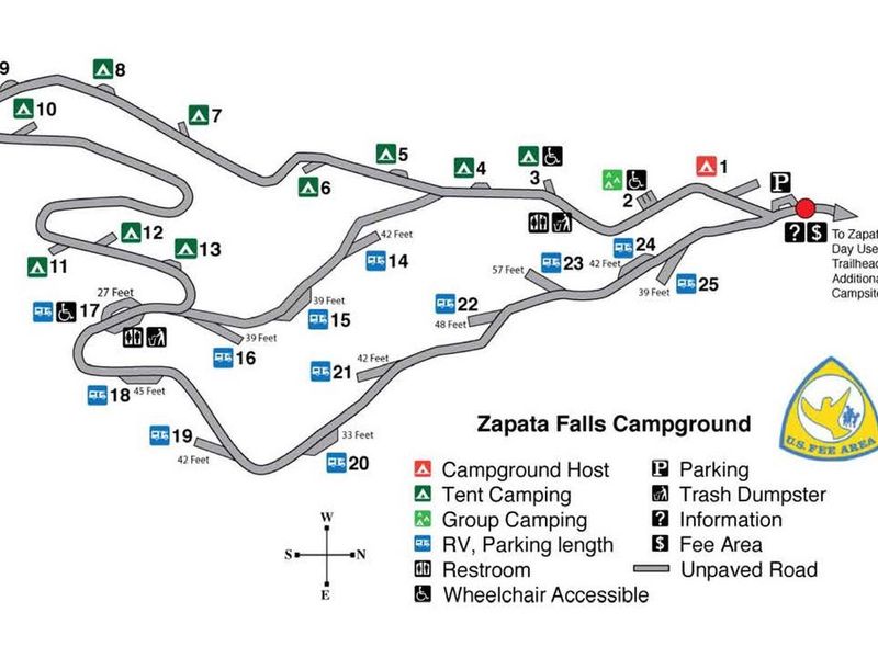
Zapata Falls Campground
Open year-round. Reservations available via Recreation.gov up to six months in advance. No potable water; bring your own supply. Maximum stay is 14 days.
About
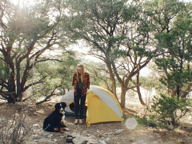
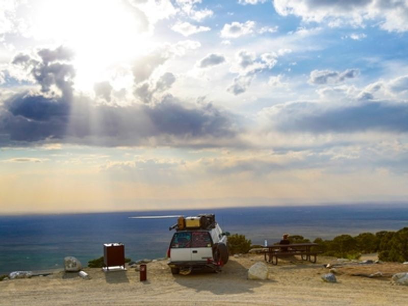
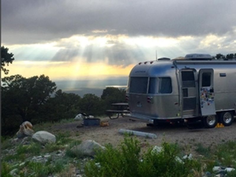
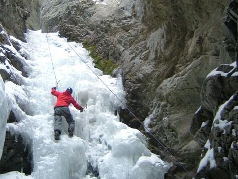
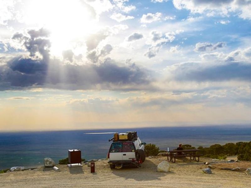
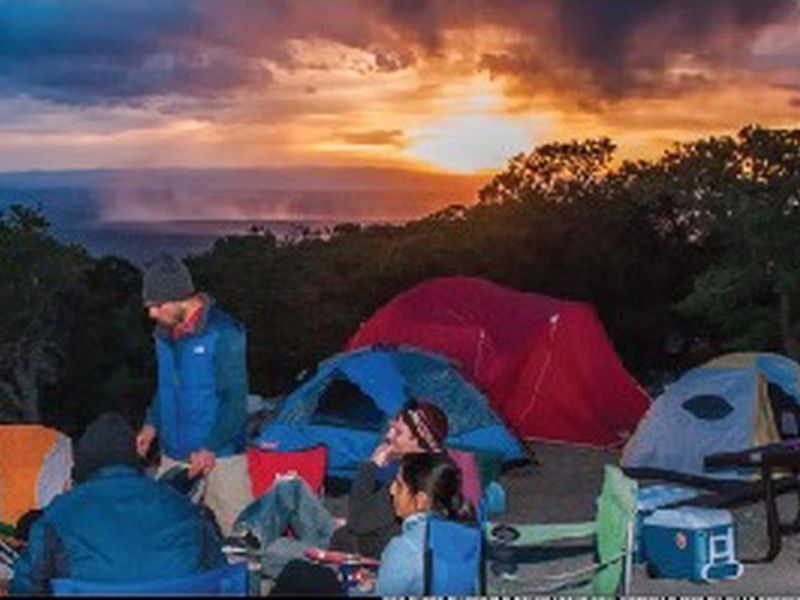
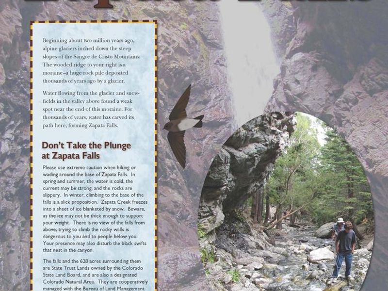
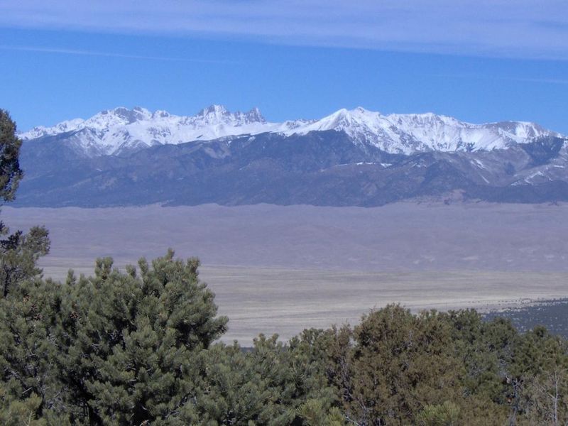
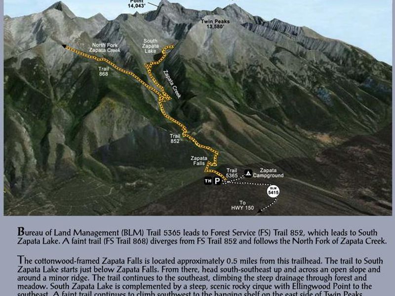
Zapata Falls Campground is a Bureau of Land Management facility perched on the edge of the San Luis Valley at 9,088 feet elevation. The campground offers spectacular panoramic views of Great Sand Dunes National Park, the San Juan Mountains to the west, and numerous 14,000-foot peaks of the Sangre de Cristo range. Twenty-three individual campsites and one group site are nestled among piñon pines along two one-mile loops. The tent loop features 11 sites designed for tent camping, while the second loop has 12 sites with parking spurs that can accommodate RVs and towed trailers up to approximately 50 feet. Each site includes a metal picnic table, fire ring with grill attachment, tent pad, and food storage locker. The campground has six vault toilets, with at least one featuring accessible design. There is no potable water, so campers must bring their own supply. The campground serves as a base for hiking to Zapata Falls via a moderately steep half-mile trail, where visitors can wade through the creek to view the 25-foot waterfall. A trailhead within the campground connects to the South Zapata Creek Trail and the Sangre de Cristo Wilderness for backcountry exploration.
Directions
From US Highway 160, turn north onto Colorado State Highway 150 and drive 10.5 miles to the campground turnoff between mile markers 10 and 11 (approximately 5 miles south of Great Sand Dunes National Park). Turn east and follow the unpaved road 3.5 miles to the campground at 9,088 feet elevation.
Nearby Campgrounds
Location
Amenities
| Water | No |
| Fires Allowed | Yes |
| Toilets | Yes |
| Dump Station | No |
| Wifi | No |
| Pets Allowed | Yes |
| Showers | No |
| Electric Hookups | — |
| Water Hookups | — |
| Sewer Hookups | — |
| Camp Store | No |
| Price | $11 - $20 |
Vehicle
| Max RV Length | 50ft |
| Max Trailer Length | — |
| Big Rig Friendly | Yes |
| Pull Through Sites | No |
Contact
| Phone | +1 (719) 852-7074 |
Cell Service
| AT&T | Yes |
| Verizon | Yes |
| T-Mobile | None |
Availability
Photos
Community Posts
No posts yet. Be the first to share your experience!