Alsea Falls Recreation Site
Closed — Closed for the season. Opens the first weekend in May through the end of September. Day-use area remains open year-round.
Frost Advisory issued April 2 at 5:31AM PDT until April 3 at 10:00AM PDT by NWS Portland OR
* WHAT...Temperatures as low as 33 to 36 will result in frost formation. * WHERE...Northern and Central Coast Range Valleys and Mountains of Oregon, Lower Columbia River and Cowlitz River Valleys, Portland Metro Hills, Central Willamette Valley, Tualatin Valley, West Columbia River Gorge of Oregon above 500 ft, Clackamas County Cascade Foothills, Willapa Hills, North Clark County Lowlands, and South Washington Cascade Foothills. * WHEN...From 9 PM this evening to 10 AM PDT Friday. * IMPACTS...Frost could harm sensitive outdoor vegetation. Sensitive outdoor plants may be killed if left uncovered.
About
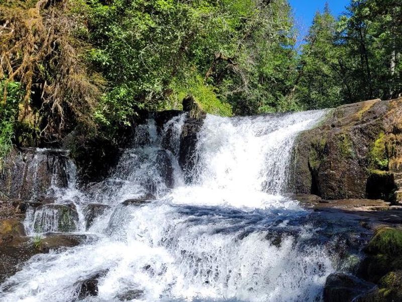
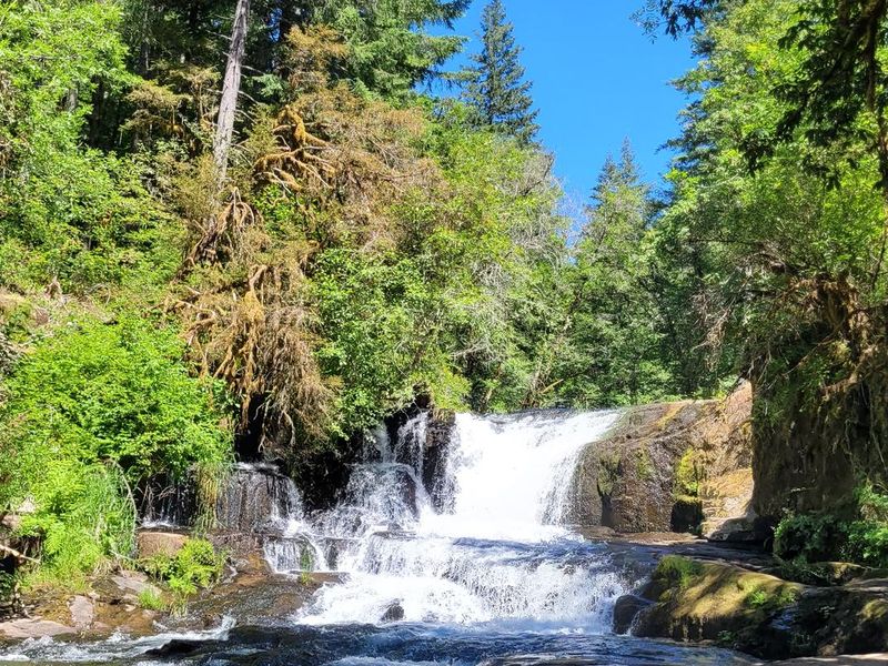
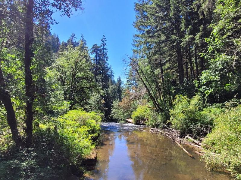
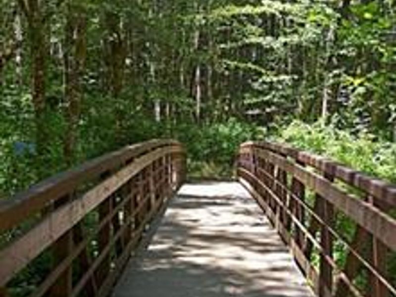
Alsea Falls Recreation Site is a Bureau of Land Management campground situated along the South Fork Alsea National Back Country Byway in Oregon's Coast Range, approximately 13 miles west of Monroe in Benton County. The campground features 16 individual campsites surrounded by forests in various stages of growth, from old growth Douglas fir and western red cedar on nearby ridges to younger Douglas fir and vine maples that create a pleasant atmosphere throughout the recreation site. The South Fork of the Alsea River flows through the recreation area, creating the signature 30-foot Alsea Falls in the adjacent day-use area. During warm summer days, the river offers cool relief and opportunities for wading and relaxation. Trails wander through the area, connecting the campground to picnic grounds and providing access to explore the surrounding forest. The nearby Fall Creek Day-Use Trailhead features over 12 miles of mountain bike-specific trails that are also open to hikers. In winter months, while the campground is closed, the South Fork Alsea River provides excellent salmon and steelhead fishing opportunities. The area's natural beauty, with its combination of waterfalls, old growth forests, and river access, attracts painters and photographers year-round. Several campsites can accommodate large RVs or trailers up to 32 feet in length. The campground operates on a reservation system through Recreation.gov, though unreserved sites may be available nightly until the reservation holder arrives.
Directions
From Corvallis: Take Hwy 99W south about 15 miles. Turn right on Alpine Road, follow for approximately 9 miles. Alpine Road turns into South Fork Road. Follow about 4 miles to the Alsea Falls Campground on the right. From Alsea: Travel south from the town Alsea on Alsea-Deadwood Hwy for about 1 mile. Turn left on the South Fork Road and follow for approximately 8.5 miles. Pass the Alsea Falls Day-Use about 0.5 miles and turn left into the Alsea Falls Campground Entrance.
Nearby Campgrounds
Location
Amenities
| Water | Yes |
| Fires Allowed | Yes |
| Toilets | Yes |
| Dump Station | No |
| Wifi | No |
| Pets Allowed | Yes |
| Showers | No |
| Electric Hookups | — |
| Water Hookups | — |
| Sewer Hookups | — |
| Camp Store | No |
| Price | $15 - $40 |
Vehicle
| Max RV Length | 32ft |
| Max Trailer Length | 32ft |
| Big Rig Friendly | No |
| Pull Through Sites | No |
Contact
| BLM_OR_NO_Mail@blm.gov | |
| Phone | +1 (503) 375-5646 |
Cell Service
| AT&T | None |
| Verizon | None |
| T-Mobile | None |
Availability
Photos

Community Posts
No posts yet. Be the first to share your experience!