Canaveral National Seashore Permits
Open for reservations year-round. Permits are $25 per night and reservable up to six months in advance via Recreation.gov. Permits must be printed 14 days before arrival and cannot be modified after printing. Check-in and check-out are both at 11:00 a.m. Backcountry beach camping is no longer allowed; only designated island sites are available.
Flood Warning issued September 23 at 10:11PM EDT until September 24 at 6:00AM EDT by NWS Melbourne FL
...The National Weather Service in Melbourne has issued a Flood Warning for the following rivers in Florida... St Johns River Near Astor affecting Lake and Volusia Counties. .The St Johns River at Astor is forecast to remain within or near Action Stage through Thursday evening due to an ongoing period of northeast winds. Northeast winds are forecast to strengthen late week which will cause the river to reach Minor Flood Stage Thursday night. * WHAT...Minor Flooding is forecast on Thursday. * WHERE...St Johns River near Astor. * WHEN...From Thursday night to at least Sunday night. * IMPACTS...At 2.3 feet, Many docks become submerged along the river and in canals in the Astor community. Water enters yards of properties on Bartram Road, Holiday Circle and along Wild Hog Road on the Lake County side. In Volusia County, water encroaches yards of homes on the river side of Alice Drive. No wake zones are in effect from near the South Moon Canal to approximately 800 feet south of the Riverview lodge. * ADDITIONAL DETAILS... - At 9:30 PM EDT Wednesday the stage was 2.2 feet. - Bankfull stage is 2.0 feet. - Forecast...The river is expected to rise to Minor Flood Stage (2.3 ft) on Thursday at 8:00 PM EDT and peak at 2.6ft at 2:00 PM EDT on Sunday. River levels are expected to remain steady thereafter. - Minor Flood stage is 2.3 feet. - Flood History...This crest compares to a previous crest of 2.4 feet on 06/06/2023. - http://www.weather.gov/safety/flood
Rip Current Statement issued September 24 at 2:44AM EDT until September 26 at 4:00AM EDT by NWS Melbourne FL
* WHAT...For the High Surf Advisory, large breaking waves of 4 to 8 feet expected in the surf zone. For the High Rip Current Risk, dangerous rip currents expected. For the Coastal Flood Advisory, minor coastal flooding expected. * WHERE...Coastal Volusia County. * WHEN...For the High Surf Advisory, from 8 AM this morning to 4 AM EDT Saturday. For the High Rip Current Risk, from 8 AM EDT this morning through late Friday night. For the Coastal Flood Advisory, from 5 PM this afternoon to 11 AM EDT Friday. * IMPACTS...Some flooding of low-lying lots, parks and roadways may occur near the shoreline. Only isolated road closures are expected. Dangerous swimming and surfing conditions and localized beach erosion. Rip currents can sweep even the best swimmers away from shore into deeper water. * ADDITIONAL DETAILS...A strong, southward flowing longshore current is expected to develop in the surf zone, in addition to the other hazards.
Coastal Flood Advisory issued September 24 at 2:44AM EDT until September 25 at 11:00AM EDT by NWS Melbourne FL
* WHAT...For the High Surf Advisory, large breaking waves of 4 to 8 feet expected in the surf zone. For the High Rip Current Risk, dangerous rip currents expected. For the Coastal Flood Advisory, minor coastal flooding expected. * WHERE...Coastal Volusia County. * WHEN...For the High Surf Advisory, from 8 AM this morning to 4 AM EDT Saturday. For the High Rip Current Risk, from 8 AM EDT this morning through late Friday night. For the Coastal Flood Advisory, from 5 PM this afternoon to 11 AM EDT Friday. * IMPACTS...Some flooding of low-lying lots, parks and roadways may occur near the shoreline. Only isolated road closures are expected. Dangerous swimming and surfing conditions and localized beach erosion. Rip currents can sweep even the best swimmers away from shore into deeper water. * ADDITIONAL DETAILS...A strong, southward flowing longshore current is expected to develop in the surf zone, in addition to the other hazards.
About
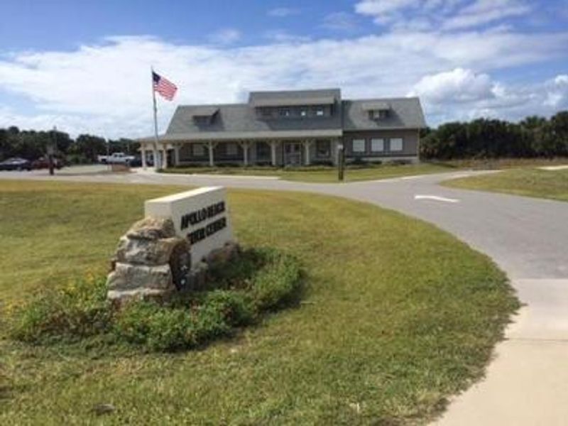
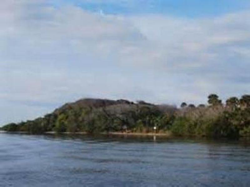
Canaveral National Seashore's backcountry island camping provides a unique primitive camping experience on 14 designated islands within Mosquito Lagoon and the Intracoastal Waterway on Florida's east coast. The islands include both natural and spoil islands, with capacities ranging from 6 people at Orange Island up to 60 at Brickhouse Cove. All sites require watercraft access; no vehicle or RV camping is permitted within the seashore. Campers must bring their own boat, kayak, or canoe to reach the islands. Canoe rentals are available through the Apollo Beach Visitor Center for campsites 1-5 only, at $25 per night for adults 18 and older, weather permitting. Each canoe accommodates two adults plus gear. Personal flotation devices are required for all passengers. This is primitive camping with no developed amenities. Campers should bring all necessary supplies including drinking water, cook stoves, and insect repellent. Firewood is not provided but fires are permitted in designated fire rings using purchased firewood or charcoal; all coals must be completely extinguished and removed from the beach. The backcountry permit does not include the park entrance fee, which must be paid separately.
Directions
All 14 island campsites are accessible only by watercraft. Launch from Apollo Beach or other access points along the Intracoastal Waterway and Mosquito Lagoon. Specific island locations and coordinates provided with permit confirmation.
Nearby Campgrounds
Amenities
| Water | No |
| Fires Allowed | Yes |
| Toilets | No |
| Dump Station | No |
| Wifi | No |
| Pets Allowed | — |
| Showers | No |
| Electric Hookups | — |
| Water Hookups | — |
| Sewer Hookups | — |
| Camp Store | No |
| Price | $25 |
Vehicle
| Max RV Length | — |
| Max Trailer Length | — |
| Big Rig Friendly | No |
| Pull Through Sites | No |
Contact
| Phone | +1 (386) 428-3384 |
Cell Service
| AT&T | Yes |
| Verizon | Yes |
| T-Mobile | Yes |
Availability
Photos

Community Posts
No posts yet. Be the first to share your experience!