Jordan Junction Hiker-biker Campsite
Open year-round, first-come first-served with no fee or reservation. One-night limit per site. Non-potable well water available mid-April through mid-November; water is shut off mid-November to mid-April for freeze protection.
About
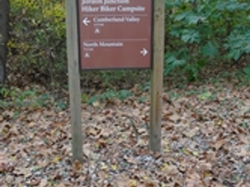
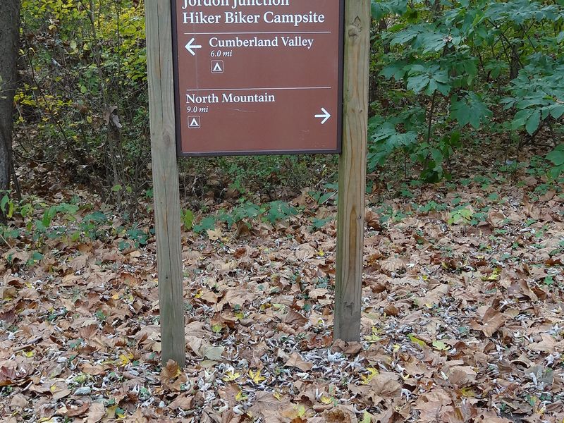
Jordan Junction Hiker-Biker Campsite sits at Mile 101.2 on the Chesapeake and Ohio Canal towpath in Washington County, Maryland, near Williamsport. This primitive campsite serves long-distance cyclists and hikers traveling the 184.5-mile towpath, positioned roughly 5-7 miles from neighboring hiker-biker sites. Like all hiker-biker campsites along the canal, Jordan Junction is free and operates on a first-come, first-served basis with no advance reservations. The campsite accommodates five to ten tents and includes a chemical toilet, picnic tables, and fire rings or grills. Non-potable well water is available from mid-April through mid-November; campers must filter, chemically treat, or boil the water before drinking or cooking. From mid-November to mid-April, well handles are removed to prevent freeze damage, so campers must bring their own water supply during winter months. The site is located 1-5 miles from the nearest parking area, making it accessible only to those traveling on foot or by bicycle. Campers must pack out all trash as the park operates a trash-free policy. Fires are permitted only in provided fire rings and grills or in portable grills positioned off the ground. Firewood may be collected from dead material on the ground within the park. Quiet hours are 10 PM to 6 AM, and pets must remain leashed at all times.
Directions
Jordan Junction is located at Mile 101.2 on the C&O Canal towpath, accessible only by foot or bicycle. The nearest parking areas are 1-5 miles away. Consult the NPS Recreation Guide for specific access points in the Williamsport area.
Nearby Campgrounds
Amenities
| Water | No |
| Fires Allowed | Yes |
| Toilets | Yes |
| Dump Station | No |
| Wifi | — |
| Pets Allowed | Yes |
| Showers | No |
| Electric Hookups | — |
| Water Hookups | — |
| Sewer Hookups | — |
| Camp Store | No |
| Price | $0 |
Vehicle
| Max RV Length | — |
| Max Trailer Length | — |
| Big Rig Friendly | No |
| Pull Through Sites | No |
Contact
| CHOH_information@nps.gov | |
| Phone | +1 (301) 739-4200 |
Cell Service
| AT&T | Yes |
| Verizon | Yes |
| T-Mobile | Yes |
Photos
Community Posts
No posts yet. Be the first to share your experience!