Devil Creek Campground

Closed

Opens May 22, 2026 for the season. Operates Memorial Day weekend through September. Seven sites are reservable through Recreation.gov; six sites are first-come-first-served.

Flood Watch issued May 29 at 12:13PM MDT until June 1 at 12:00PM MDT by NWS Missoula MT

12:13 PM — May 30th, 12:00 PM

Heavy rain combined with mountain snowpack melt may cause flows in streams and rivers to increase quickly and reach critical levels. * WHAT...Flooding caused by rain and snowmelt is possible. * WHERE...A portion of northwest Montana, including the following areas, Flathead/Mission Valleys and West Glacier Region. This includes the following Specific Areas... Kalispell and Going-to-the-Sun Road in Glacier Park. * WHEN...From Saturday evening through Monday morning. * IMPACTS...Excessive runoff may result in flooding of rivers, creeks, streams, and other low-lying and flood-prone locations. Rockfall and debris flows are also possible in steep terrain. * ADDITIONAL DETAILS... - Rainfall of 1 to 2 inches for valley locations with 2 to 4 inches in the terrain are possible late Saturday through Monday. - https://www.weather.gov/mso/hydrology

Flood Watch issued May 29 at 11:37AM MDT until June 1 at 6:00AM MDT by NWS Missoula MT

11:37 AM — May 30th, 12:00 PM

...The National Weather Service in Missoula has issued a Flood Watch for the following rivers in Montana... Flathead River At Columbia Falls affecting Flathead County. .Heavy rain combined with mountain snowpack melt may cause flows in rivers to increase quickly and reach critical levels. For the Flathead River...including At Columbia Falls...flooding is possible. * WHAT...Flooding is possible. * WHERE...Flathead River At Columbia Falls. * WHEN...From Saturday morning to Monday morning. * IMPACTS...At 13.0 feet, Farmers crops adjacent to the Flathead River are inundated with water. At 14.0 feet, Flooding of farmers crops adjacent to the Flathead River is likely. Sections of the Steel Bridge Road become inundated with water and impassable. * ADDITIONAL DETAILS... - At 10:45 AM MDT Friday the stage was 13.3 feet. - Flood stage is 14.0 feet. Forecast crest is 14.1 feet on Saturday afternoon. - https://www.weather.gov/mso/hydrology

Flood Watch issued May 29 at 11:20AM MDT until June 2 at 11:00PM MDT by NWS Missoula MT

11:20 AM — May 30th, 12:00 PM

...The National Weather Service in Missoula has issued a Flood Watch for the following rivers in Montana... Swan River Near Bigfork affecting Flathead, Lake and Missoula Counties. .Heavy rain combined with mountain snowpack melt may cause flows in rivers to increase quickly and reach critical levels. For the Swan River...including Near Bigfork...flooding is possible. * WHAT...Flooding is possible. * WHERE...Swan River Near Bigfork. * WHEN...From Monday morning to Tuesday evening. * IMPACTS...At 6.5 feet, Flooding affects low lying areas adjacent to the river. At 6.6 feet, Flooding affects low lying areas north of Lion Creek Road and adjacent to the river. * ADDITIONAL DETAILS... - At 11:00 AM MDT Friday the stage was 4.8 feet. - Forecast...Flood stage may be reached late Monday morning. - Flood stage is 6.5 feet. Forecast crest is at 6.6 feet on the evening of June 1. - https://www.weather.gov/mso/hydrology

Northern Region Camping & Target Restrictions, Pallet Prohibition

This order defines the maximum length of occupation at a single location or cumulatively at any number of locations within a calendar year, within the states of Montana, North Dakota, South Dakota, and Idaho

Weed Free Forage & Mulch Products Order for the Northern Region

It is illegal to possess, store or transport straw, hay, grain, seed or other forage or mulch products on Forest Service lands without documentation that the product is certified as “weed free” by a state certification process that meets or exceeds the North American Weed Free Forage standards.

R1-2023-02 - NCDE Food and Wildlife Attractant Storage Order

Northern Continental Divide Ecosystem Food/Wildlife Attractant Storage Order for the Flathead, Lolo, Kootenai, Helena-Lewis and Clark, and Beaverhead-Deerlodge National Forests within the Northern Continental Divide Ecosystem.

Order 01-15-00-25-01: Bob Marshall, Scapegoat, and Great Bear Wilderness Restrictions

Occupancy and Use and Trail Restrictions for the entire Bob Marshall Wilderness Complex, as well as trail, stock, and camping restrictions on Our Lake Trail and lake area (Helena-Lewis and Clark NF), beneath the Chinese Wall (Helena-Lewis and Clark NF), and Castle Creek Riverside Campsite (Flathead…

Big Creek Canyon Creek Road 316 Closure for Emergency Repairs

Big Creek Canyon Creek Road 316 closed to motorized travel during 2026 repair work. See details and authorized access info.

Blankenship Emergency Closure

The Blankenship Bridge Area (Blankenship southwest), located south of Blankenship Road on the west side of the Middle Fork of the Flathead River is temporarily closed for public safety due to high water.

Current Avalanche Danger and Forecast

Avalanche Danger: Know before you go! Avalanche Forecasts at Flathead Avalanche Center  The Flathead National Forest has three forecast zones for avalanches: the Whitefish Range, the Flathead Range and Glacier National Park, and the Swan Range. Avalanche hazards are highly spatially variable, so…

Trail 800 Tally-Ashely Closure

4.4 miles of National Forest System Trail 800 Tally-Ashley will be closed for public safety during logging activities starting 9/4/2025 - 9/1/2026 unless rescinded sooner.

Ryan Creek Occupancy and Use Order

From September 1, 2025 through December 1, 2026, unless rescinded, the following is prohibited in the Ryan Road area:Camping or otherwise occupying a site except where designated .Camping or otherwise occupying a designated site for over three consecutive days within a calendar year.

Logan Creek Hoke Creek Closure

NFS Road 1625 is closed between milepost 2.84 and 5.08 for public safety  due to road substrate slumping. This closed segment is from the junction with Rd #9881 at milepost 2.84 to the end of Rd #1625 starting 8/13/2025 - 8/12/2027 unless rescinded sooner.

Water Vessel Prohibitions

Violating State water vessel safety and operation laws and regulations is prohibited on all Flathead National Forest waterways.

Jewel Basin Hiking Area Regulations

Jewel Basin Hiking Area Regulations

About

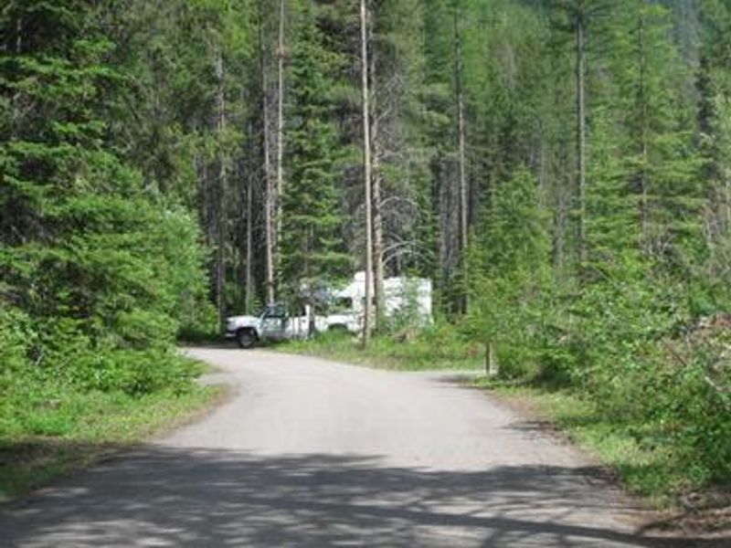
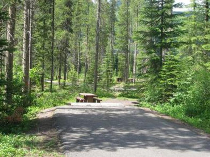
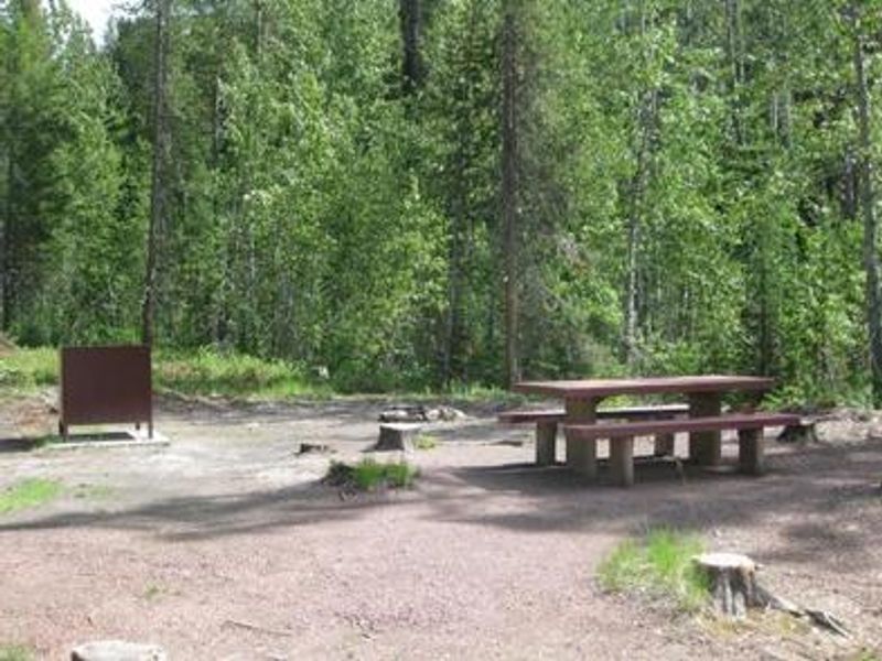
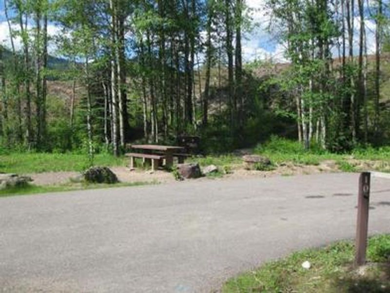
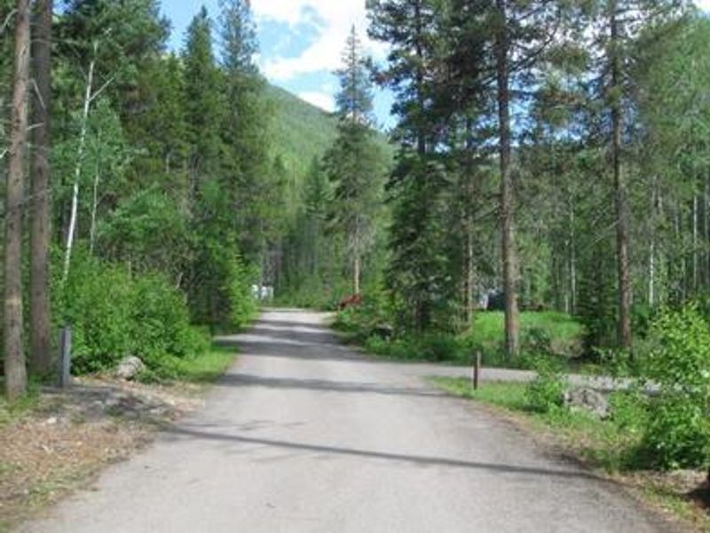
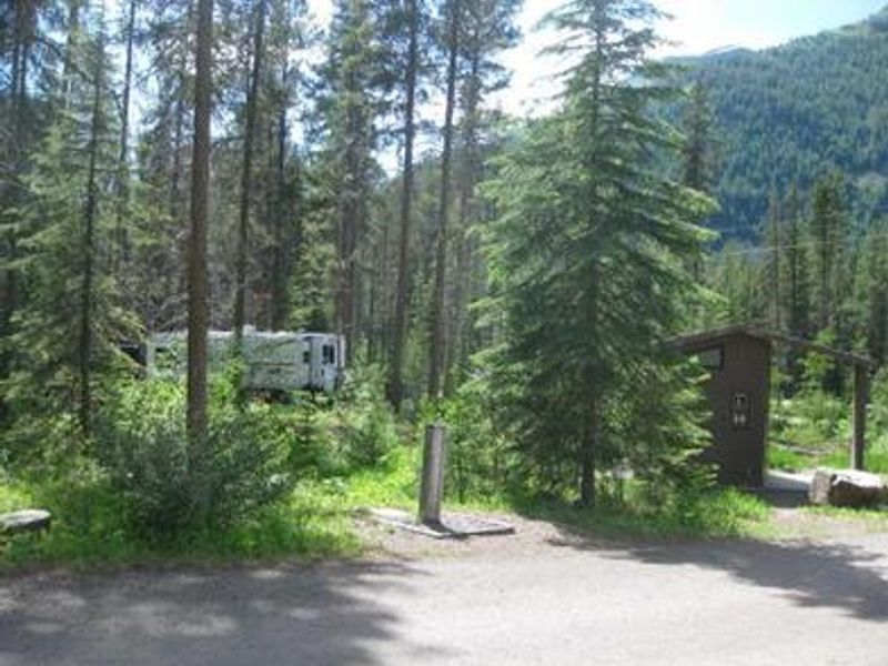
Devil Creek Campground occupies a scenic wooded setting 32 miles southeast of West Glacier and six miles west of Marias Pass in Flathead National Forest. The campground sits at 4,360 feet elevation in a conifer forest along US Highway 2, offering easy access to Glacier National Park's western entrance. The drive along Highway 2 provides stunning mountain scenery and opportunities for wildlife viewing. The campground has 13 sites total, with 7 available for reservation through Recreation.gov and 6 walk-up first-come-first-served sites. Each site features a picnic table and campfire ring with grill. Amenities include accessible vault toilets and drinking water spigots for jug filling. Campground roads and parking spurs are paved, and the maximum trailer length is 40 feet. Devil Creek Trail #167 departs from the campground area and provides access into the Spotted Bear Wilderness for hiking and backpacking. A food storage order is in effect, and firewood should not be transported between locations. The stay limit is 16 consecutive nights.

Directions

From West Glacier, head east on US Highway 2 approximately 32 miles. From East Glacier Park, take US Highway 2 west approximately 19 miles. The campground is located six miles west of Marias Pass.

Amenities

Water Yes
Fires Allowed Yes
Toilets Yes
Dump Station No
Wifi No
Pets Allowed
Showers No
Electric Hookups
Water Hookups
Sewer Hookups
Camp Store No
Price $22

Vehicle

Max RV Length 40ft
Max Trailer Length 40ft
Big Rig Friendly No
Pull Through Sites No

Contact

Phone +1 (406) 752-7924

Cell Service

AT&T None
Verizon None
T-Mobile None

Availability

Photos

Community Posts

No posts yet. Be the first to share your experience!