Wall Creek Cabin
Open for the 2026 season from May 16 through November 30. Reservations required via Recreation.gov. Mandatory food storage order in effect March 1 through December 1. Fire danger status is currently moderate.
Northern Region Camping & Target Restrictions, Pallet Prohibition
This order defines the maximum length of occupation at a single location or cumulatively at any number of locations within a calendar year, within the states of Montana, North Dakota, South Dakota, and Idaho
Weed Free Forage & Mulch Products Order for the Northern Region
It is illegal to possess, store or transport straw, hay, grain, seed or other forage or mulch products on Forest Service lands without documentation that the product is certified as “weed free” by a state certification process that meets or exceeds the North American Weed Free Forage standards.
R1-2023-02 - NCDE Food and Wildlife Attractant Storage Order
Northern Continental Divide Ecosystem Food/Wildlife Attractant Storage Order for the Flathead, Lolo, Kootenai, Helena-Lewis and Clark, and Beaverhead-Deerlodge National Forests within the Northern Continental Divide Ecosystem.
About
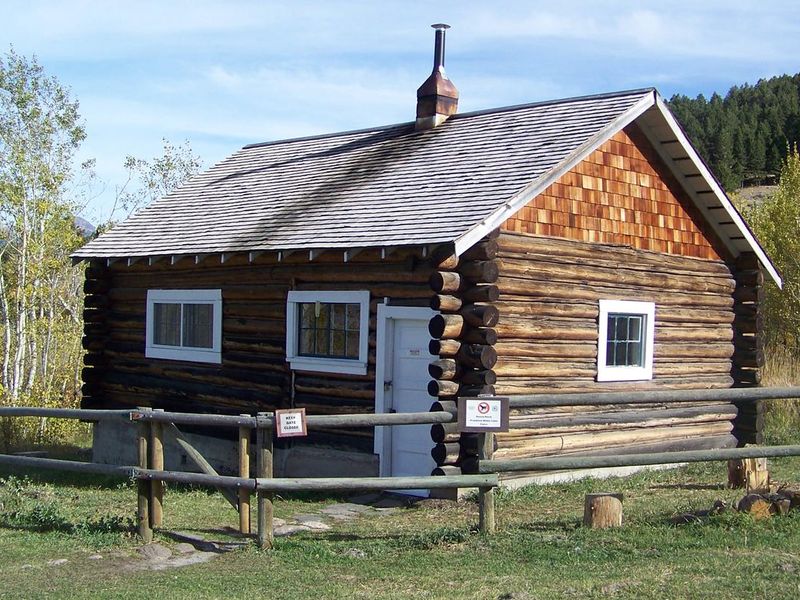
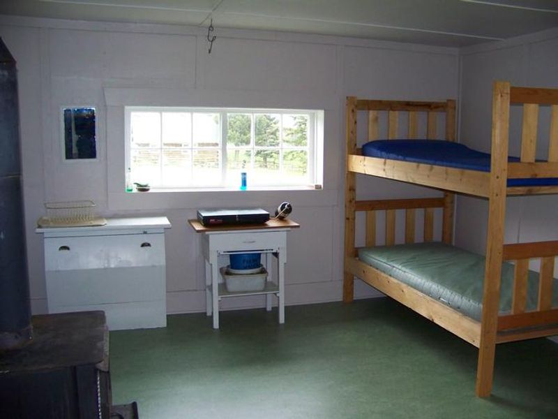
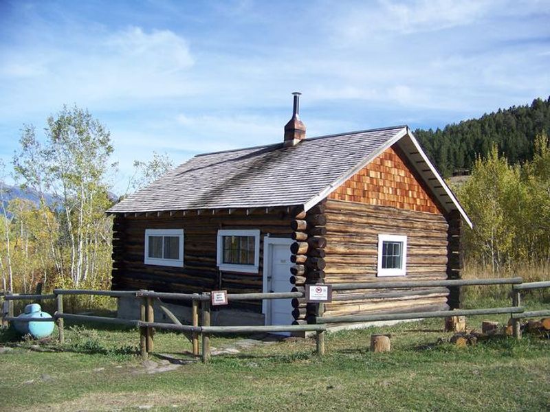
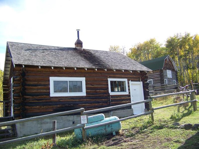
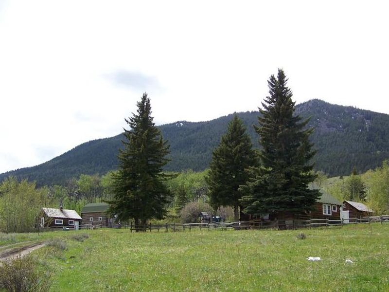
Wall Creek Cabin is a small historic dwelling built around 1930 as crew quarters for what was once the Wall Creek Ranger District headquarters. The compound includes four log buildings, but only the smaller cabin and a holding corral are available for public use. The barn and main cabin are used by grazing permit holders, so guests may occasionally encounter ranching activity including cowboys, horses, and dogs. The two-room cabin accommodates up to four guests on two sets of bunk beds with foam pads. Inside you'll find a wood stove for heat with firewood provided, a propane cook stove and lantern (guests must bring small disposable propane canisters), table, chairs, and basic cooking utensils. A vault toilet is located about 100 feet north of the cabin. There is no potable water; a spring west of the cabin requires boiling or treatment before use. The location at the east base of the Gravelly Range offers excellent access for big game hunting and wildlife viewing. The Wall Creek Wildlife Management Area is home to elk, deer, moose, antelope, and bears. Hiking and horseback riding trails are nearby, including motorized access at Bucks Nest trailhead about a mile north and the non-motorized Hyde Creek trail just north of the administrative site. Yellowstone National Park is approximately 60 miles southeast.
Directions
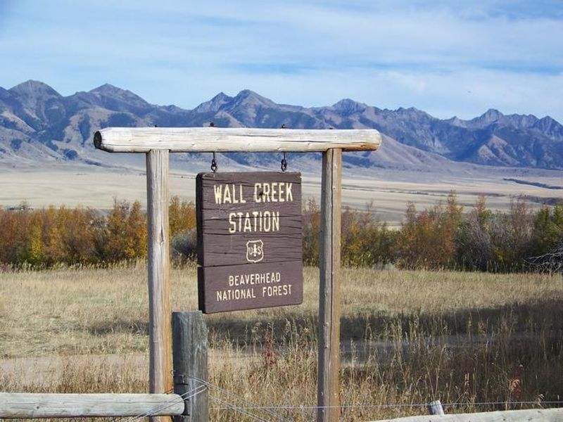
From Ennis, take US Highway 287 south for approximately 18 miles to Indian Creek and the McAtee Bridge fishing access site. Turn right and go nearly 1 mile to the junction just beyond the bridge. Turn left toward Wall Creek Wildlife Management Area for 2.7 miles to a T junction. Turn left and stay on the main road for 2.5 miles through many twists and curves to another T junction. Turn left and travel about 2 miles. Turn right through the gate at the Wall Creek Station sign and travel half a mile to another gate. Go through the gate into the administrative site; the cabin is just beyond.
Amenities
| Water | No |
| Fires Allowed | Yes |
| Toilets | Yes |
| Dump Station | No |
| Wifi | No |
| Pets Allowed | — |
| Showers | No |
| Electric Hookups | — |
| Water Hookups | — |
| Sewer Hookups | — |
| Camp Store | No |
| Price | $45 |
Vehicle
| Max RV Length | — |
| Max Trailer Length | — |
| Big Rig Friendly | No |
| Pull Through Sites | No |
Contact
| Phone | +1 (406) 682-4253 |
Cell Service
| AT&T | Yes |
| Verizon | Yes |
| T-Mobile | None |
Availability
Photos

Community Posts
No posts yet. Be the first to share your experience!