Hanks Creek
Open year-round. The swim beach day use area is currently closed due to low water levels. Reservations available through Recreation.gov.
Heat Advisory issued July 25 at 12:01PM CDT until July 26 at 8:00PM CDT by NWS Shreveport LA
* WHAT...Heat index values up to 106 expected. * WHERE...Portions of south central and southwest Arkansas, north central and northwest Louisiana, southeast Oklahoma, and east and northeast Texas. * WHEN...From 11 AM to 8 PM CDT Sunday. * IMPACTS...Hot temperatures and high humidity may cause heat illnesses.
About
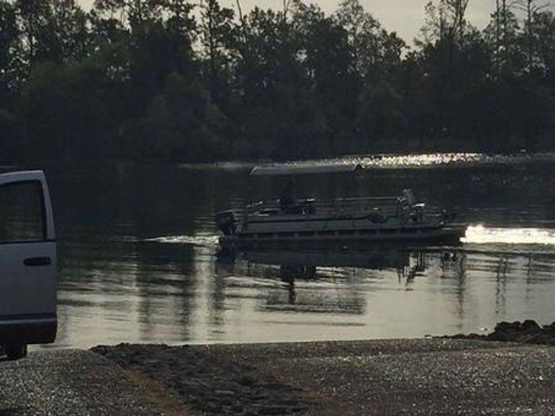
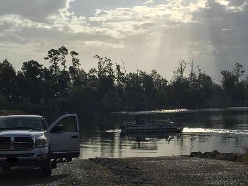
Hanks Creek Park sits on the northwest shore of Sam Rayburn Reservoir, a 114,000-acre impoundment surrounded by Angelina National Forest. Operated by the U.S. Army Corps of Engineers, the campground features 47 sites with electric (30/50 amp) and water hookups, including standard electric sites, overnight shelter sites with covered RV pads, and a group camping area with five RV pads and a group shelter. Facilities include flush toilets, hot showers, a dump station, boat ramp, playground, and volleyball court. The reservoir offers excellent fishing for largemouth bass, crappie, catfish, and sunfish, with frequent tournaments. Water sports including jet skiing, water skiing, and swimming are popular, though the swim beach is currently closed due to low water levels. The surrounding forest provides habitat for the endangered Red-cockaded woodpecker, which nests in large living pine trees. Wildlife viewing, birding, and mountain biking are available for those who prefer to stay on shore. The nearby Bannister Wildlife Management Area offers additional hiking and biking opportunities.
Directions
From Zavalla, TX, take State Hwy 147 northeast for 1/4 mile, then turn north on FM 2109 and go 8 miles to FM 2801. Turn right (east) on FM 2801 and go 2 miles to the park entrance. Follow signs into the campground.
Amenities
| Water | Yes |
| Fires Allowed | Yes |
| Toilets | Yes |
| Dump Station | Yes |
| Wifi | — |
| Pets Allowed | Yes |
| Showers | Yes |
| Electric Hookups | Yes |
| Water Hookups | Yes |
| Sewer Hookups | No |
| Camp Store | — |
| Price | $28 - $150 |
Vehicle
| Max RV Length | 65ft |
| Max Trailer Length | 65ft |
| Big Rig Friendly | Yes |
| Pull Through Sites | No |
Contact
| Phone | +1 (409) 384-5716 |
Cell Service
| AT&T | None |
| Verizon | None |
| T-Mobile | None |
Availability
Photos
Community Posts
No posts yet. Be the first to share your experience!