Backbone Rock Recreation Area Pavilions
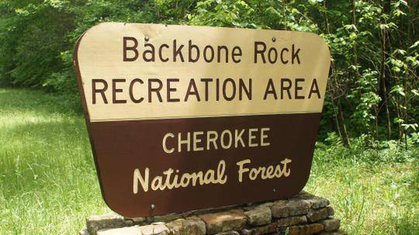
Cherokee National Forest
Summary
Backbone Rock Recreation Area is a popular spot in northern Johnson County with a pavilion, picnic tables and grills, a stone fireplace, a trail to the top of Backbone Rock, excellent fishing at Beaverdam Creek and access to the Appalachian National Scenic Trail. Motorists can pass through the "shortest tunnel in the world" as they drive along TN 133 to nearby Damascus, VA.
Overview
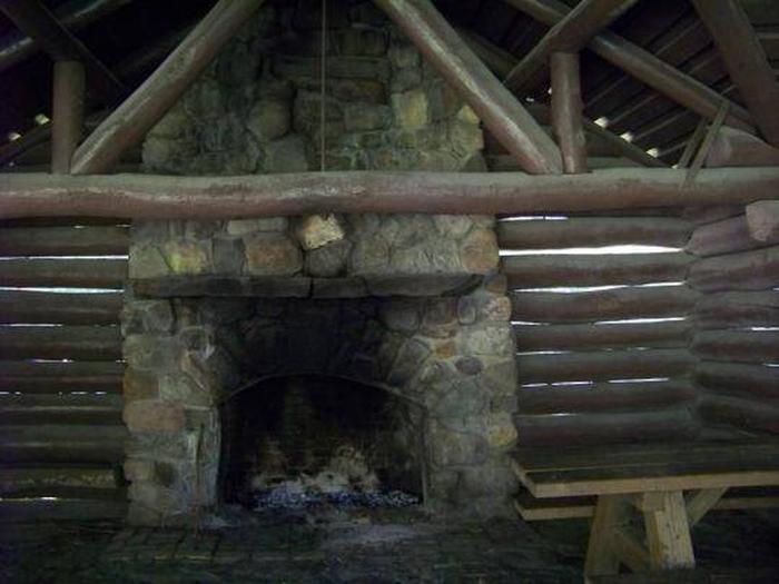
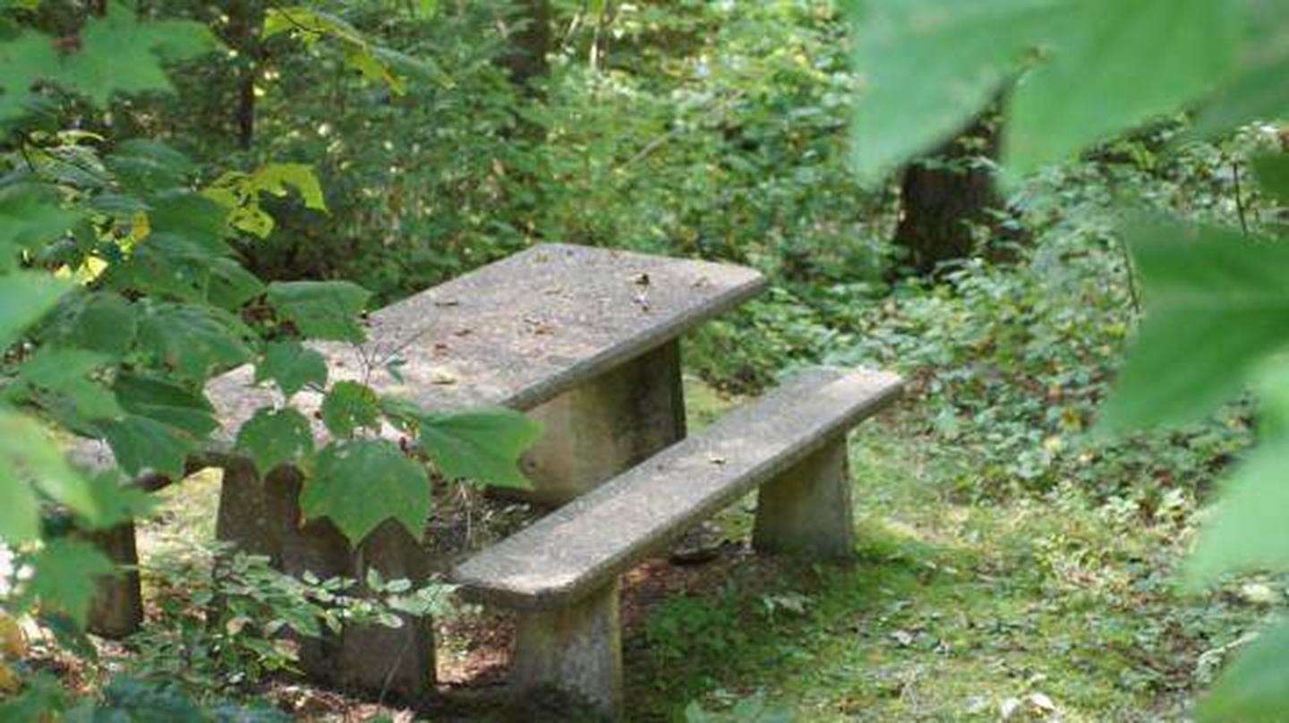
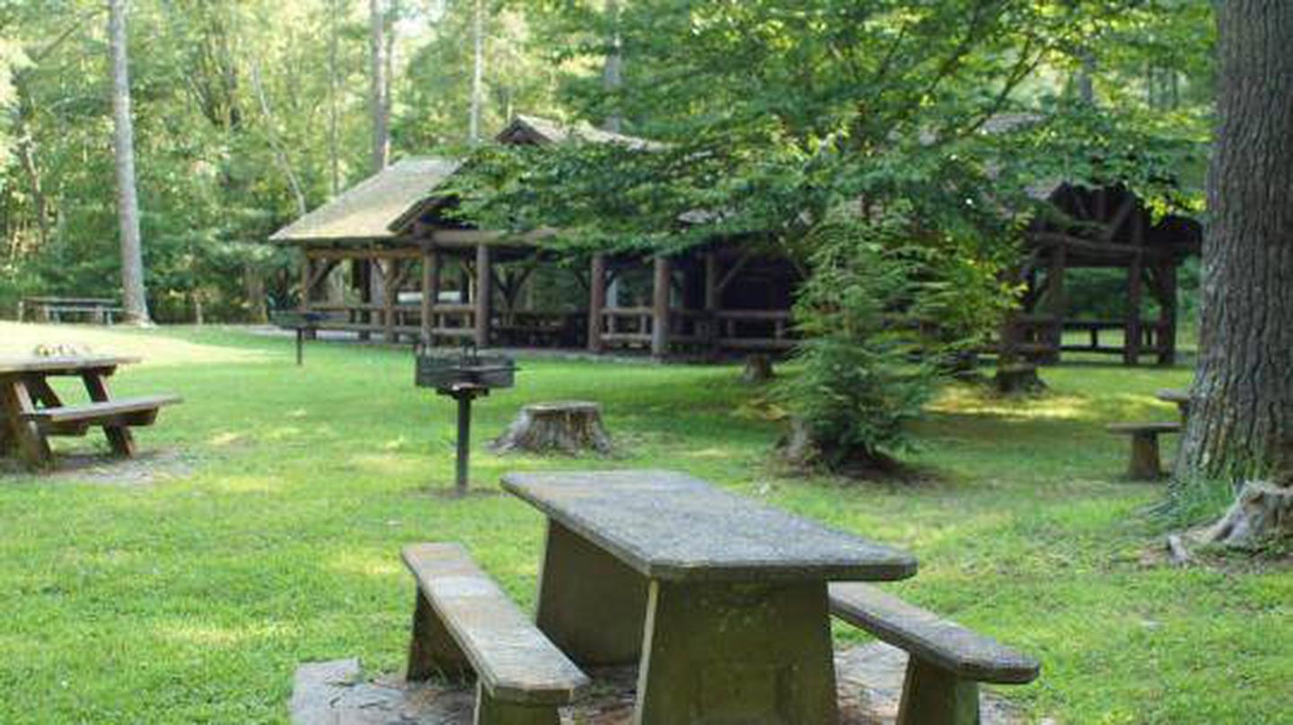
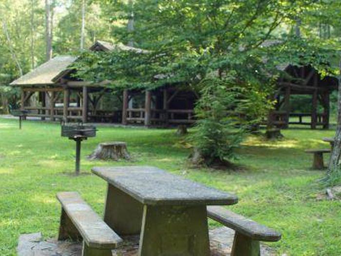
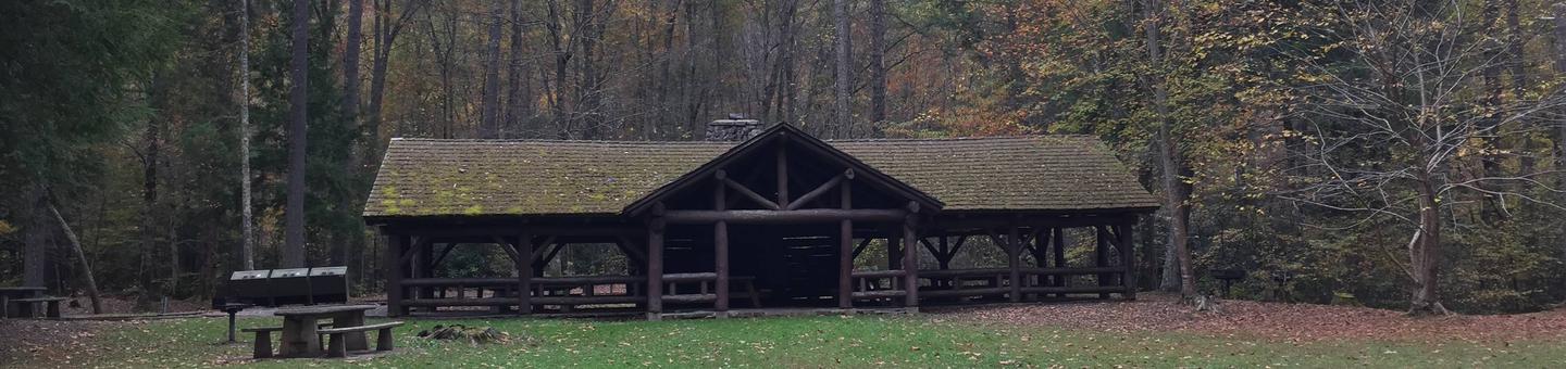
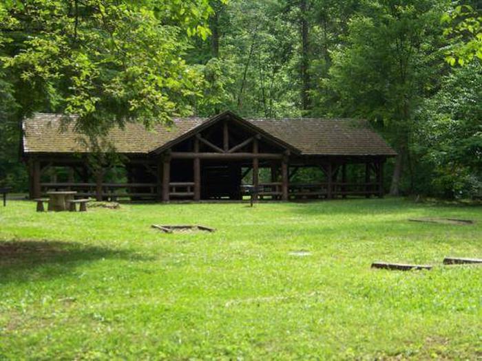
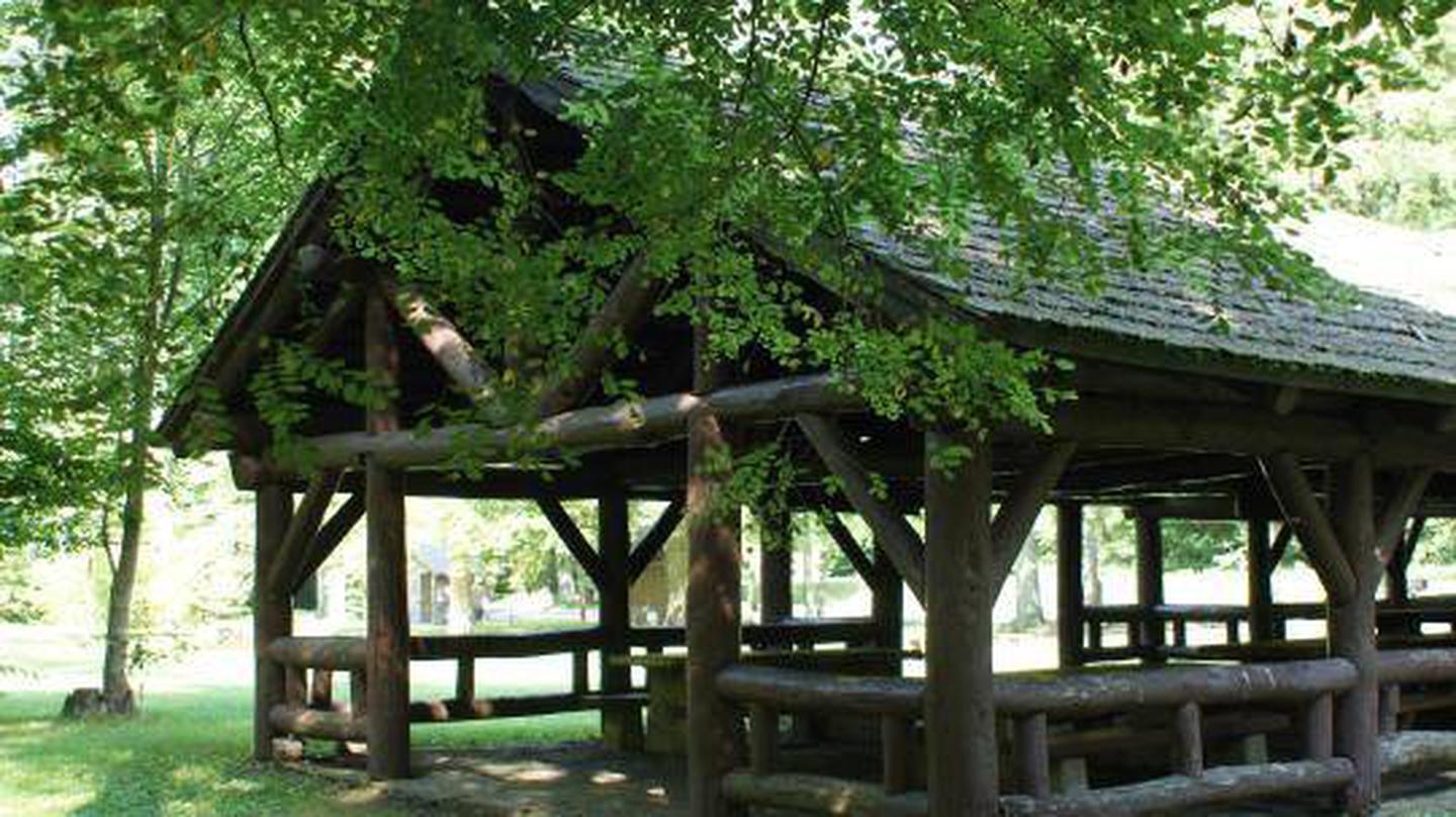
The pavilion at Backbone Rock Recreation Area is a popular location for family reunions and other types of group gatherings. The pavilion is large and adjacent to an expansive field, Beaverdam Creek, and a large parking area. The area includes accessible grills, picnic tables, dumpsters, and vault toilets.
Recreation
There is a trail that will take you to the top of Backbone Rock, following a stone-step wooded path. The trail crosses the rock and leads to Beaverdam Creek or Backbone Rock Falls. The Appalachian National Scenic Trail adjoins Backbone Rock Trail. Beaverdam Creek is known for its excellent fishing.Facilities
There is a Civilian Conservation Corps (CCC) -era pavilion, picnic tables and grills. The pavilion includes a stone fireplace and several large picnic tables with additional tables and grills nearby. Vault toilets are located within the parking area, and are open for the 2022 season.
Natural Features
Backbone Rock Recreation Area is located along Beaverdam Creek in northern Johnson County. Backbone Rock gets its name from a spur ridge on Holston Mountain that ends abruptly at a bend in Beaverdam Creek. A tunnel was drilled through the rock in 1901 to allow railroad access between Shady Valley, TN and Damascus, VA. Motorists pass through what is locally known as "The shortest tunnel in the world" as they travel along TN 133.
Nearby Attractions
Damascus, Virginia is five miles North of Backbone Rock for any in-town needs.
Photos
Campground Matrix
Set alerts at more campgrounds to increase your odds of getting a place to stay! Below is a list of the closest campgrounds supported on Campflare. Or, view all campgrounds in Cherokee National Forest.
| Nearby Campgrounds | Distance | Notification Rate |
|
Backbone Rock
Cherokee National Forest
|
0.0mi | 27% |
|
Beartree
George Washington & Jefferson National Forest
|
11.2mi | 29% |
|
Little Oak
Cherokee National Forest
|
14.6mi | — |
|
Grindstone
George Washington & Jefferson National Forest
|
16.5mi | — |
|
Chestnut Hollow Horse Sites
Grayson Highlands State Park
|
16.7mi | 84% |
|
Hunts
Grayson Highlands State Park
|
17.8mi | — |