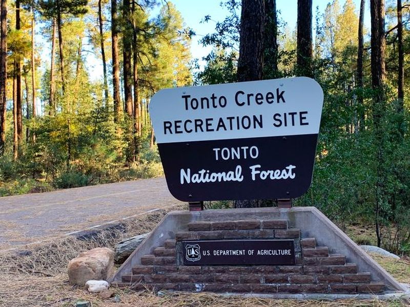
Lower Tonto Creek
Closed due to bridge construction on Forest Road 289. The closure is in effect from March 9, 2026 through December 31, 2026. NFS Road 289 remains open with construction delays expected. Derrick Trailhead provides alternate trail access during the closure.
Canyon Lake Drawdown Public Safety Closure
Due to the Canyon Lake drawdown all recreational sites around Canyon Lake including the marina and the lakebed will be closed. Apache Trail (SR 88) will remain open.
Houston Mesa Area Clean-Up & Restoration Project Temporary Closure Order
Temporary Closure Order For Public Health and Safety of the Houston Mesa area.
SR260 Lion Springs Construction Site Public Health and Safety Closure Order
SR260 Lion Springs Construction Site closed.
About
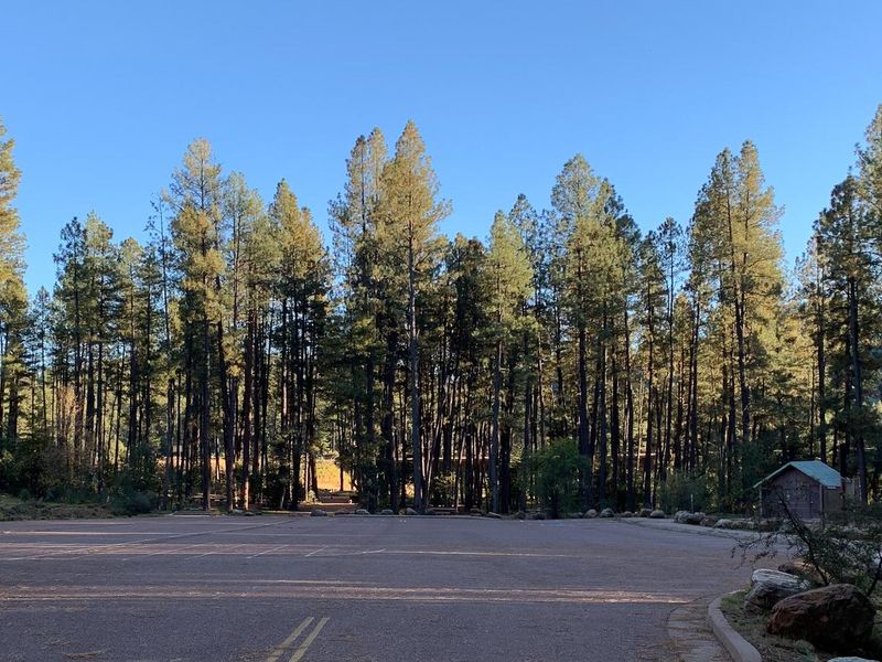
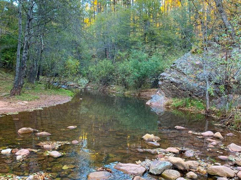
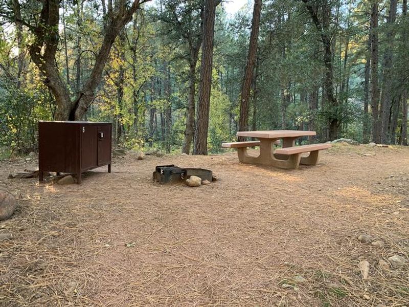
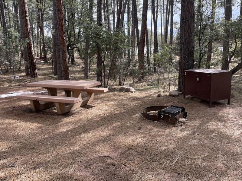
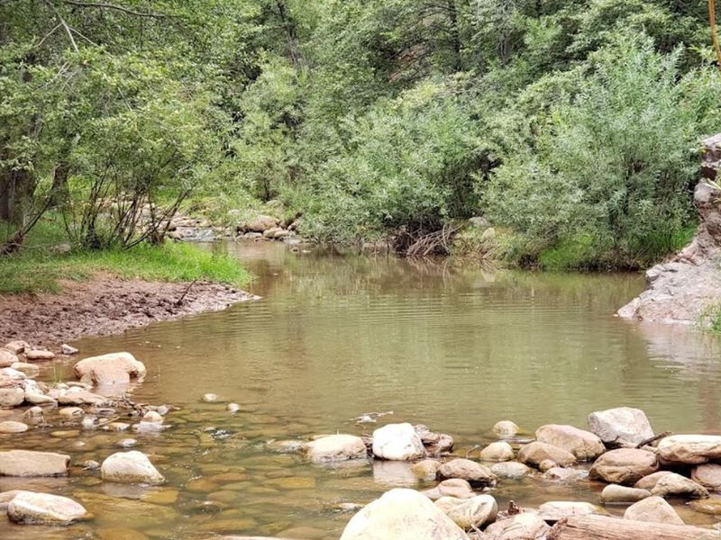
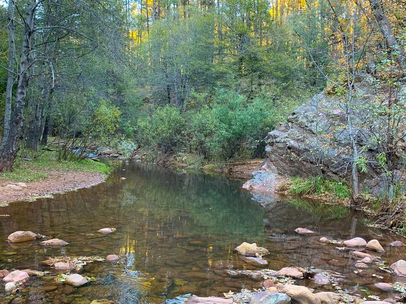
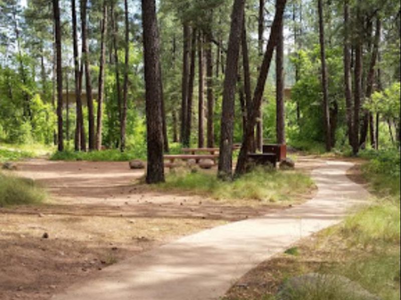
Lower Tonto Creek Campground is tucked into the pine forests of the Mogollon Rim, 15 miles northeast of Payson along Highway 260. The campground offers 9 walk-in tent sites accessed via a paved sidewalk from a central parking area, with sites dotted along the path among tall pines near Tonto Creek. The confluence of Tonto and Horton Creeks at the north end of the adjacent Upper Tonto Creek Campground provides good fishing opportunities. The area serves as a gateway to several trails, including Horton Creek Trail 285 and Derrick Trail 33, both of which connect to the Highline National Recreation Trail. While the setting is scenic, campers should be aware that the campground is immediately adjacent to Highway 260 and experiences considerable traffic noise and light throughout the day and night. This is a first-come, first-served campground with no advance reservations. Payment is made on-site via QR code using the Recreation.gov mobile app. Campers should download the app before arriving, as cellular service is limited in the area. Potable water is not available on-site; drinking water can be obtained at nearby campgrounds.
Directions
From Payson, travel 15 miles east on State Highway 260. Just east of mile marker 269 at Kohl's Ranch, turn left (north) on Forest Road 289.
Amenities
| Water | No |
| Fires Allowed | — |
| Toilets | Yes |
| Dump Station | No |
| Wifi | — |
| Pets Allowed | Yes |
| Showers | No |
| Electric Hookups | — |
| Water Hookups | — |
| Sewer Hookups | — |
| Camp Store | — |
| Price | $20 |
Vehicle
| Max RV Length | — |
| Max Trailer Length | — |
| Big Rig Friendly | No |
| Pull Through Sites | No |
Contact
| Phone | +1 (928) 474-7900 |
Cell Service
| AT&T | Yes |
| Verizon | None |
| T-Mobile | Yes |
Availability
Photos
Community Posts
No posts yet. Be the first to share your experience!