Cabin Creek
Payette National Forest
Summary
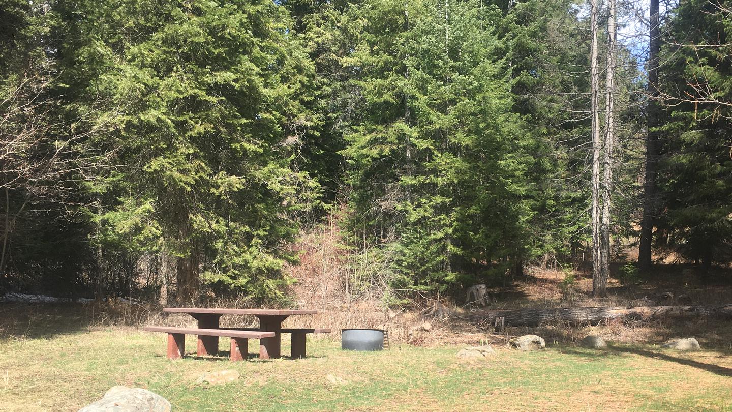
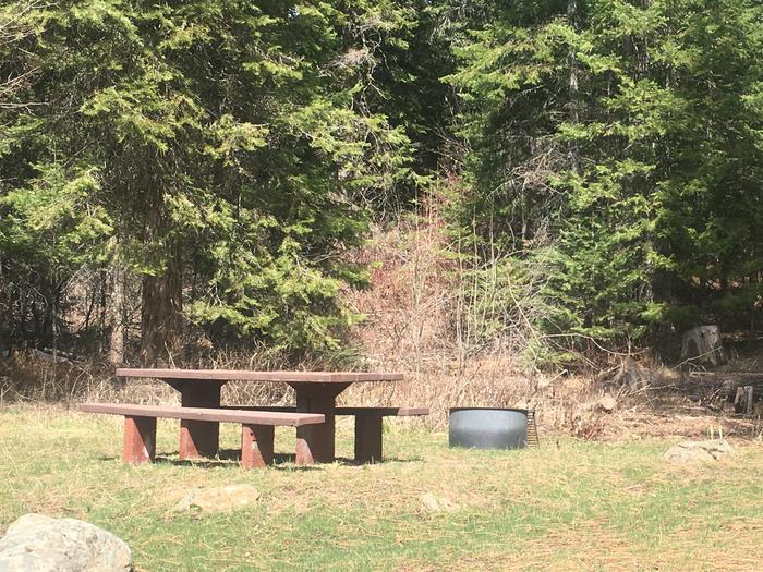
This campground contains 12 campsites located in the West Mountains with a nearby waterfall. Fishing in the West Fork of the Weiser River is available, as well as ATV and non-motorized vehicle trails. Facilities include potable water but no hook-ups.
Overview
This campground contains 12 campsites in the West Mountains, where a waterfall graces the campground.
This location is available on a first-come, first-served basis only. Visitors are required to physically arrive at the campground to purchase and claim a site. Once on-site, you may be able to pay for your campsite(s) by scanning a QR code using the Recreation.gov mobile app, a nd the Scan and Pay feature.
If this option is available, you will need to first download the free Recreation.gov mobile app https://www.recreation.gov/mobile-app prior to your arrival as some remote areas have limited or no cellular service.
Recreation
Fishing in the West Fork of the Weiser River. ATV trail to the south, and a non-motorized vehicle trail to the north. Be careful not to trespass in this area, as the public lands are interspersed with private land.
Facilities
No hook-ups available. Potable water is available for drinking and cooking.
Photos


Campground Matrix
Set alerts at more campgrounds to increase your odds of getting a place to stay! Below is a list of the closest campgrounds supported on Campflare. Or, view all campgrounds in Payette National Forest.
| Nearby Campgrounds | Distance | Notification Rate |
|
Amanita
Boise National Forest
|
7.7mi | 75% |
|
Rainbow Point
Boise National Forest
|
7.7mi | 78% |
|
Big Flat
Payette National Forest
|
10.6mi | — |
|
French Creek
Boise National Forest
|
11.9mi | 83% |
|
Huckleberry
Lake Cascade State Park
|
15.7mi | 30% |
|
Sugarloaf
Lake Cascade State Park
|
15.7mi | — |