Salt Creek Dispersed Area (Ca)
Shasta-Trinity National Forest
Campalytics™ Beta
Summary
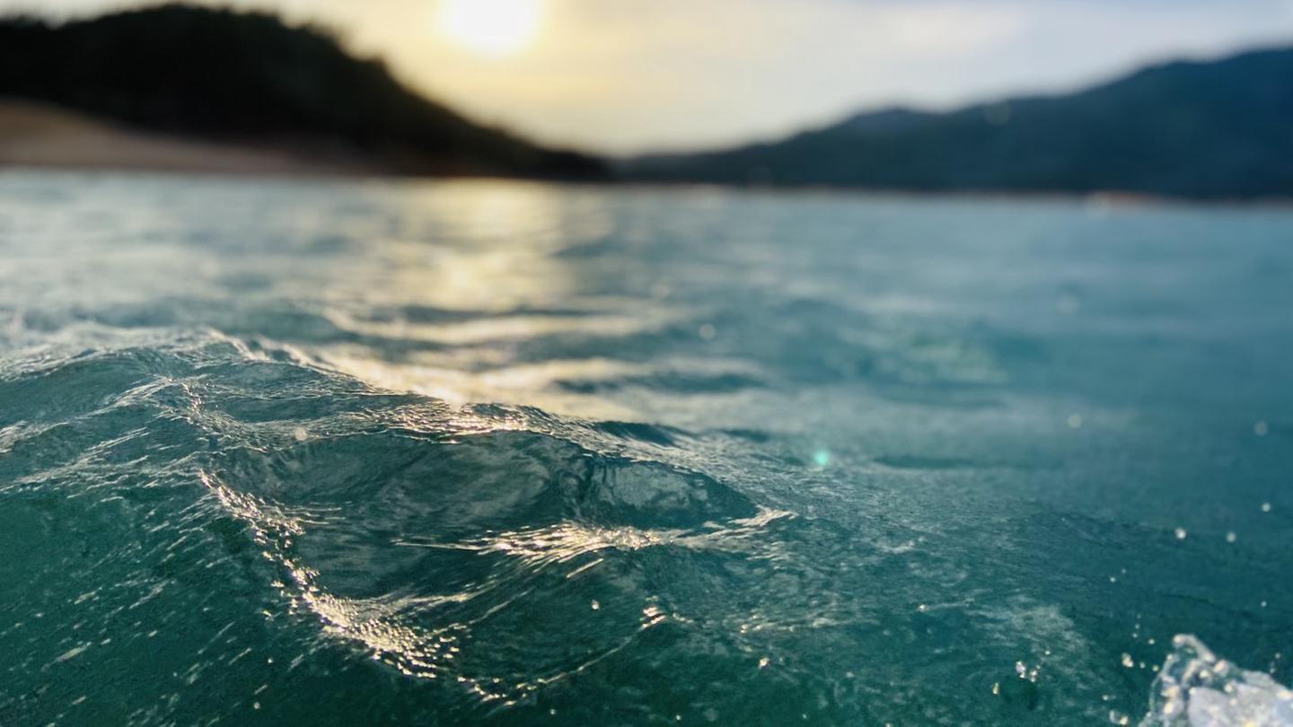
Salt Creek Camping/Day Use Area is located on the Sacramento River Arm of Shasta Lake and offers a wide range of recreational activities like boating, water skiing, jet skiing, and fishing. This is a shoreline area with no designated sites and trash and portable restrooms provided in season. Wildlife is abundant in the area, and it is surrounded by the large Shasta-Trinity National Forest. Local attractions are easily accessible and there is a boat ramp 6 miles away.
Overview
Salt Creek Camping/Day Use Area is located on the Sacramento River Arm of Shasta Lake, it has trash and portable restrooms provided in season. This is a shoreline area and doesn't have designated sites.
This Campground is on a First Come - First Serve Basis, vistors are required to physically be at the campground to purchase and claim a site. You must also occupy the area the day you pay for it, no advance payments. We encourage our visitors to download the recreation.gov app to take advantage of the Scan & Pay Option. There is also a Iron Ranger on site that you can pay with cash or check.
Dispersed Area has no facilities and is pack in/pack out in winter months typically Mid September to Mid May - no fees are due during that time.
Recreation
A public boat ramp is located approximately 6 miles away at Antlers (dependent on water level), but informal mooring is allowed if the water levels are sufficient. This area is popular for water skiing and jet skiing. Lake Shasta offers excellent fishing for trout, catfish, Chinook salmon, crappie, bluegill, white sturgeon, brown bullhead and bass.
Facilities
Provided trash service and portable toilets in season. This is a shoreline area with no formal sites.
Natural Features
Shasta-Trinity is the largest national forest in California with a diverse landscape encompassing five wilderness areas, hundreds of mountain lakes and 6,278 miles of streams and rivers. Lake Shasta sits at an elevation of 1,067 feet, with 365 miles of shoreline punctuated by steep mountains blanketed in manzanita and evergreens. A snow-capped Mount Shasta, the second-tallest mountain in the Cascade Range, looms in the distance. Wildlife is abundant in the area.
Nearby Attractions
There are several attractions in the area for a list of a few view our website: Local Attractions
Charges & Cancellations
Refunds for Check or Cash Purchases: Refunds for cash payments will be issued a check refund. A refund will be processed within 30 days of receipt and approval. For cash or check refunds please call us at 530-275-8113. Please Note! Refund requests made during or after departure can only be processed when approved by the facility management staff based upon local policy.
Refunds for Emergency Closures: In the event of an emergency closure the Recreation.gov will attempt to notify users and offer alternate dates and sites (as appropriate). If this is not possible, reservations will be canceled and all fees paid will be refunded.
Refunds for Naturally Occurring Events: Refunds will not be issued for naturally occurring events like rain, snow, wind, smoke, extreme temperature, low lake level, etc.
If you are requesting a refund for a walk-up site, please contact the host on-site or call us 530-275-8113. All refunds must be approved and issued through our office or processed though Recreation.gov.
Photos